
About OTIC Geosystems
Empowering industries across the region with cutting-edge geospatial technology, measurement solutions, and field equipment expertise.
Geospatial Equipment & Technology Partner
OTIC Geosystems is a registered Nigerian company headquartered in Lagos, providing geospatial equipment, technical services, and support to professionals in surveying, engineering, construction, agriculture, energy, infrastructure, and hydrographic operations across Lagos, Abuja, Port Harcourt, throughout Nigeria, across Africa, and worldwide.
We supply original, manufacturer-certified equipment and support clients with the knowledge and services required to deploy them effectively in real working environments.
See OTIC Geosystems in Action
Take an interactive walkthrough of our geospatial platform, explore real equipment workflows, live CORS positioning, and field data tools before you talk to our team.
We provide a complete range of geospatial solutions, from equipment supply and rental to calibration, training, and CORS network services. We work as a technology partner, supporting clients at every stage: consultation, deployment, training, and ongoing support.
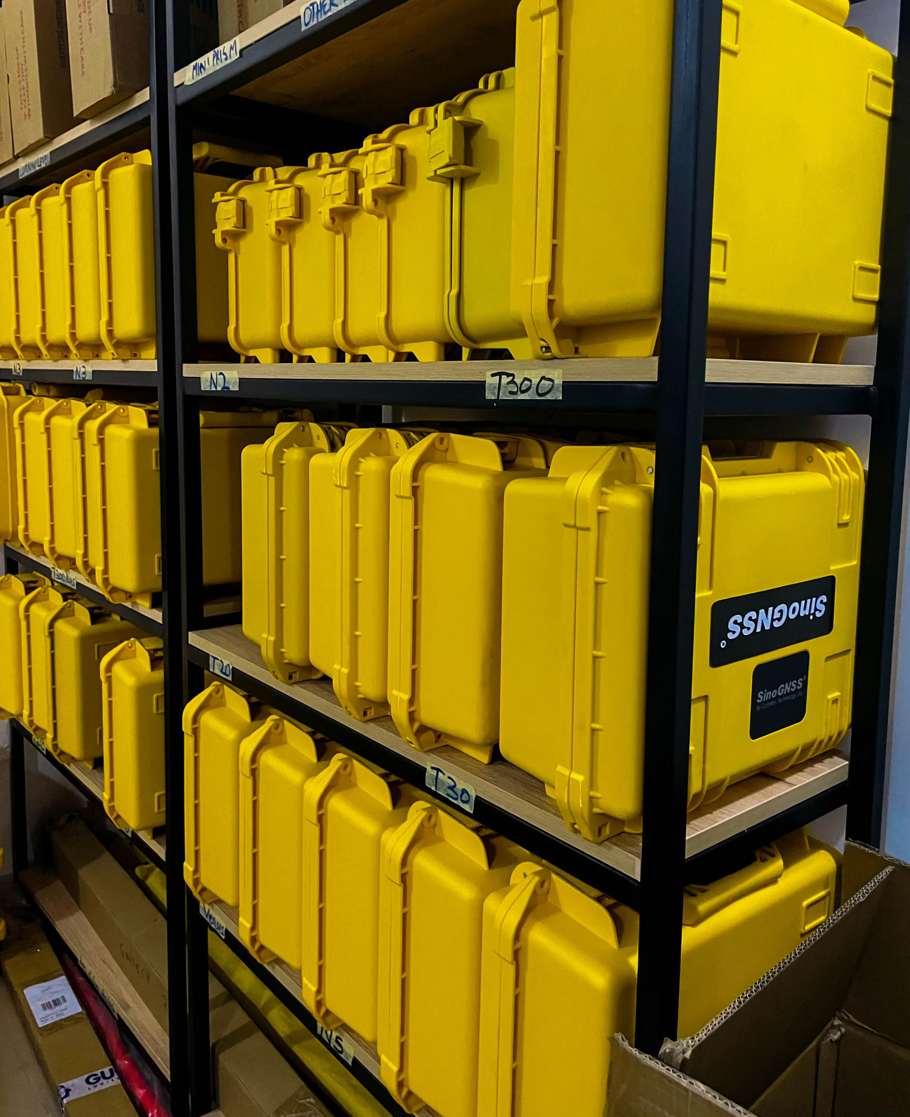
We supply original, manufacturer-certified geospatial hardware and software, GNSS receivers, total stations, 3D laser scanners, UAV mapping drones, hydrographic survey systems, and more.
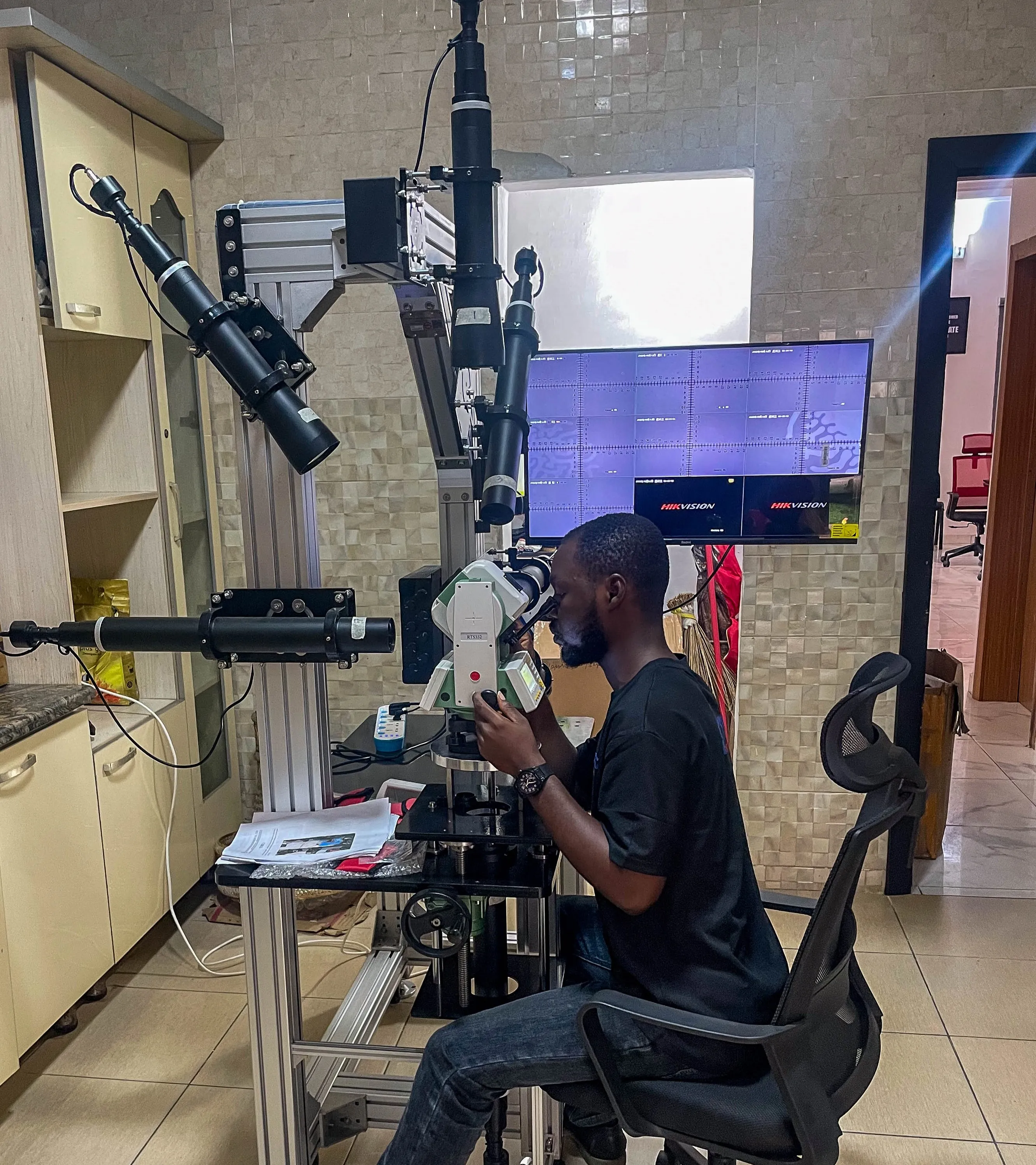
Expert calibration, maintenance, diagnostics, and repair services to ensure your surveying instruments deliver consistent, accurate field performance.
Flexible rental options for short-term and project-based needs; access advanced geospatial equipment without heavy capital investment.
Comprehensive technical assistance after purchase, backed by extensive field experience to keep your tools operational and effective.
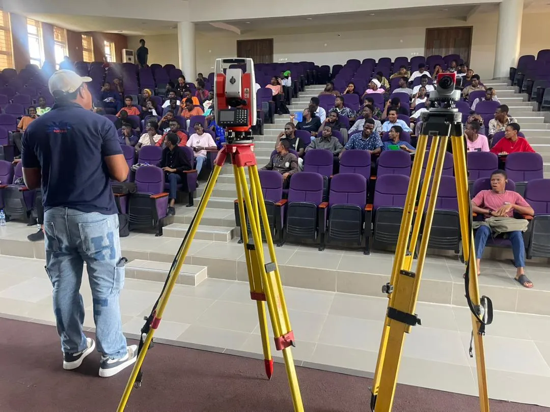
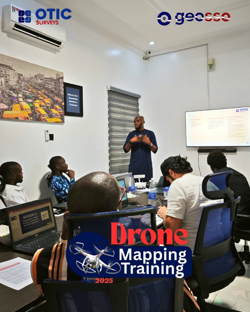
Hands-on training, practical tutorials, and continuous technical guidance to help professionals and organizations get full value from their technology.
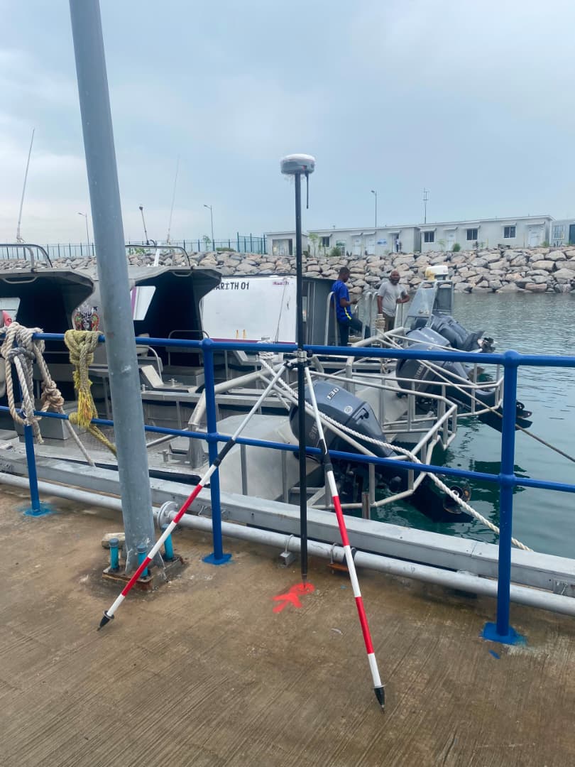
Real-time GNSS correction services via our nationwide CORS network, enabling high-accuracy positioning across Nigeria.
Product Authenticity & Sourcing
All equipment supplied by OTIC Geosystems is sourced directly from verified manufacturers and authorized global distributors. We do not deal in refurbished, imitation, or unverified equipment.
Valid Serial Numbers
Every product comes with traceable manufacturer serial numbers for direct verification.
Manufacturer Warranties
Full, comprehensive manufacturer-backed warranties on all supplied hardware and instruments.
Product Documentation
Complete documentation, calibration certificates, and authenticity verification included.
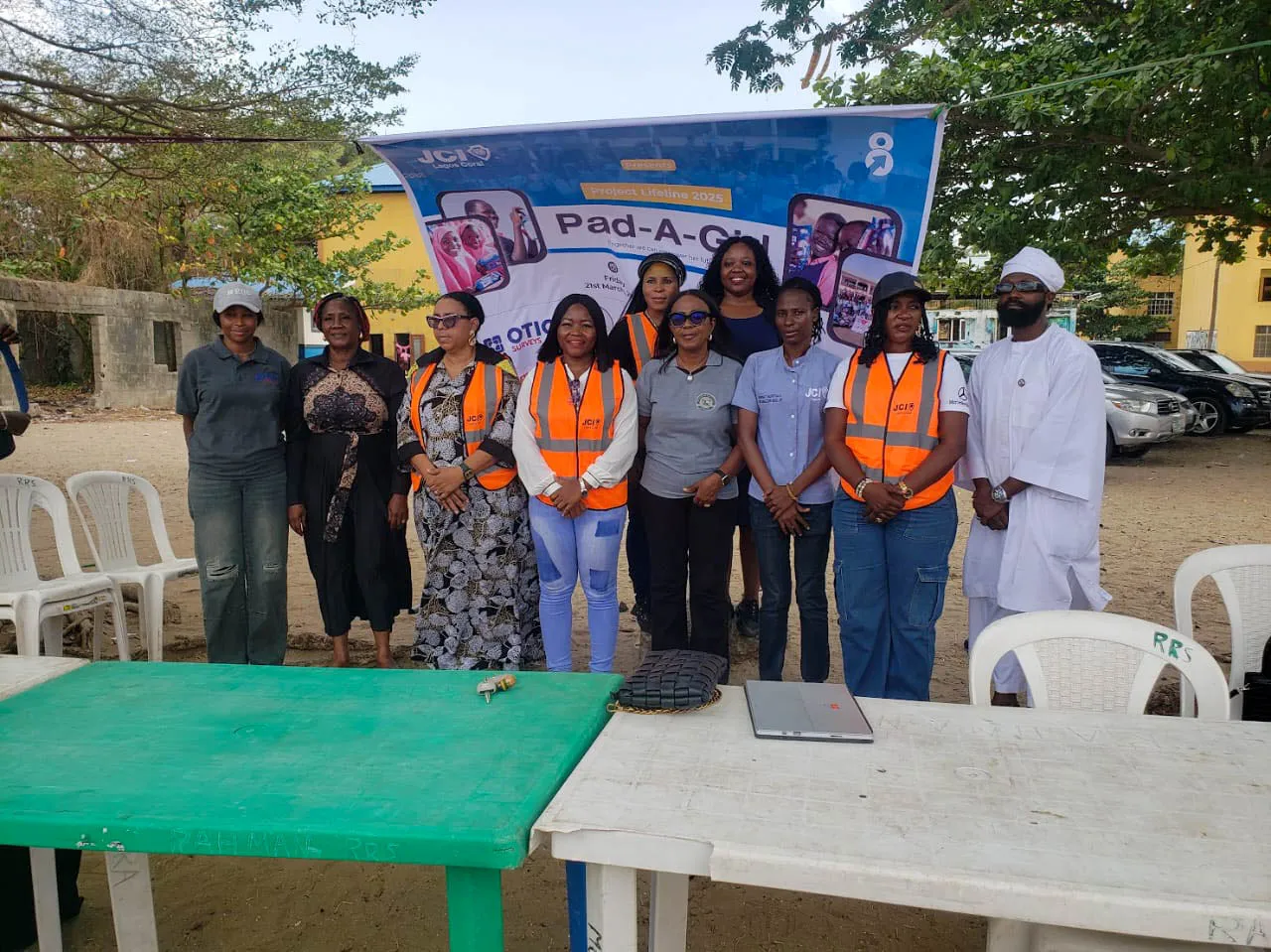
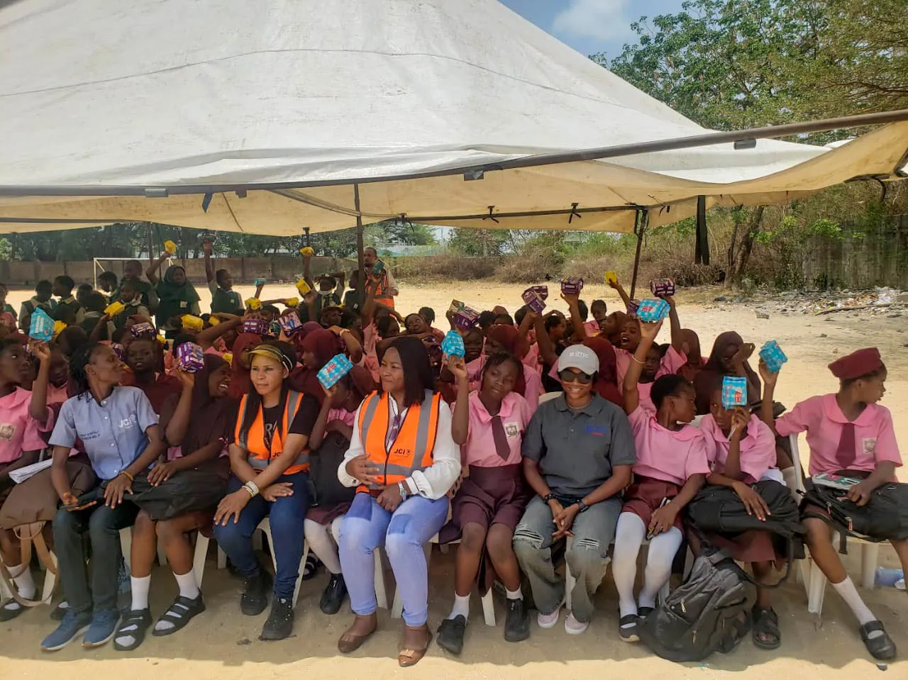
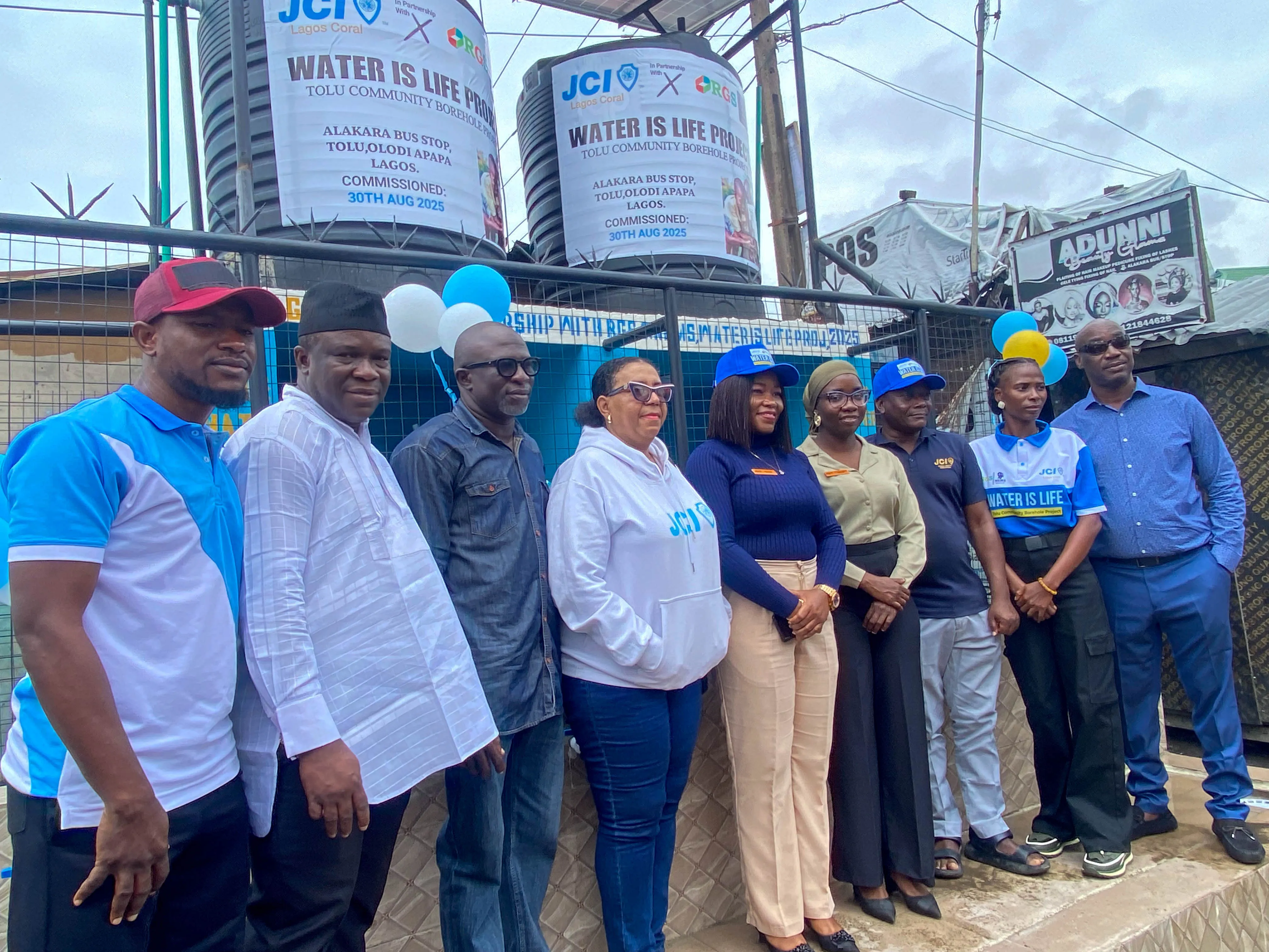
Pad-A-Girl Initiative in collaboration with JCI
Empowering girls through education and menstrual health advocacy.

Community Impact
Creating value beyond business
Education & Training
Supporting future professionals through mentorship and practical learning opportunities.
Community Development
Participating in initiatives that promote collaboration and local growth.
Environmental Responsibility
Encouraging sustainable field practices and environmental conservation efforts across our projects.
Why Choose OTIC Geosystems?
OTIC Geosystems is a trusted geospatial solutions provider based in Lagos, Nigeria, built to support professionals, organizations, and institutions across surveying, mapping, engineering, and allied fields. We offer reliable supply of genuine equipment, strong technical knowledge, responsive after-sales support, and practical solutions aligned with real project demands.
Our strength lies in deep technical expertise, hands-on industry experience, and a clear understanding of real project demands. We work closely with our clients to recommend proven technologies that align with their operational goals, budgets, and environments — ensuring users are properly trained, supported, and confident in deploying solutions effectively.
Our Suppliers



Our Mission
To solve our customers' everyday challenges by being reliable, knowledgeable, and consistent in the solutions and support we provide.