
L3 LIDAR SYSTEM
High-Density Point Cloud Data for Mapping and Analysis
TS07 TOTAL STATION
Accurate Measurements for Survey and Engineering Work
MATRICE 400 DRONE
Aerial Data Capture for Mapping, Inspection, and Monitoring
JUPITER LASER RTK
Reliable Positioning for Surveying and Mapping Solutions
UNBEATABLE GNSS RECEIVERS
T20, T30 & MARS Series for High-Precision Positioning
African Roots, Global Footprint
OTIC Geosystems is a trusted provider of advanced geospatial technology, supporting professionals across geospatial and surveying, engineering and construction, agriculture and agrotech, oil and gas / energy, real estate and infrastructure, government agencies, surveying institutions, and hydrographic operations.
We deliver a complete geospatial ecosystem, supplying high-performance GNSS receivers, total stations, 3D laser scanners, professional drones, side scan sonars, echo sounders, autosteering systems, CORS network services, and a wide range of supporting accessories and GIS software's.
We go beyond equipment supply. We calibrate and repair equipment, provide professional training, offer equipment rental, and deliver advanced services including aerial surveying, mapping, inspection, agricultural monitoring, hydrographic data acquisition, and 3D scanning, ensuring reliable data capture across land, water, and air.
From equipping field crews, institutions, and agencies to supporting large-scale infrastructure, energy, agricultural, and marine projects, we stand as a single, dependable source for end-to-end geospatial solutions. We are the ecosystem.

Our Suppliers





What We Supply
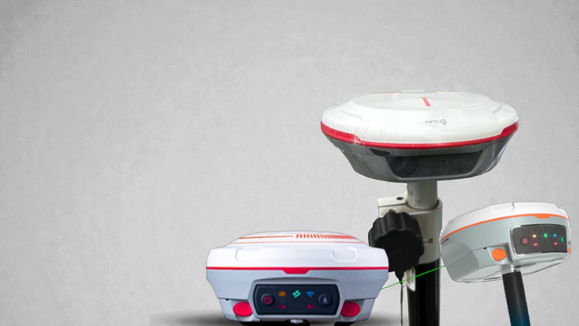
GNSS Systems
T20, T30, Mars, Jupiter series — centimetre-level RTK positioning for surveyors and engineers.
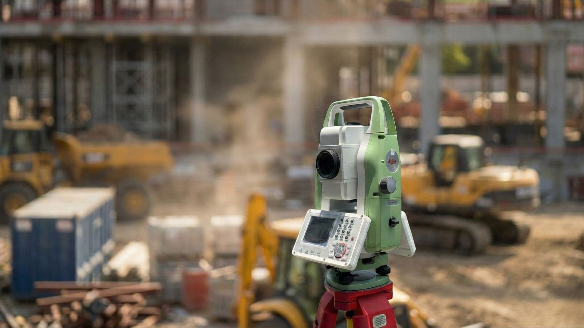
Total Stations
Leica FlexLine, FOIF, ComNav — reflectorless measurements for any terrain.
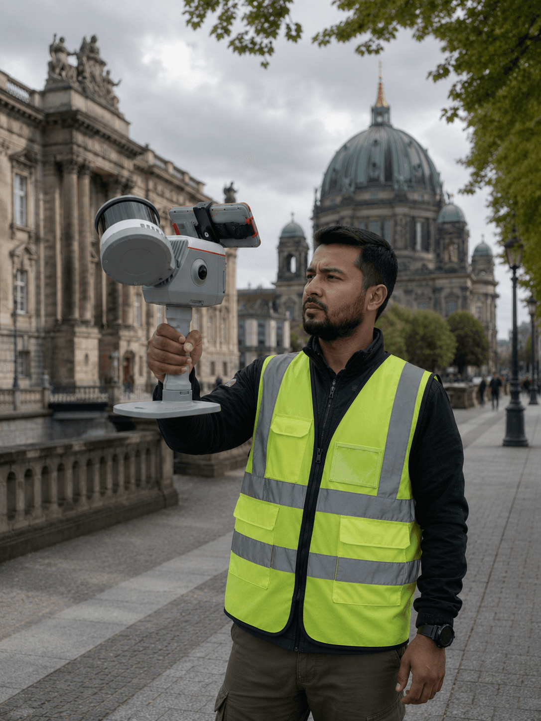
3D Laser Scanners
LS300 & LS600 SLAM scanners delivering 1cm point-cloud precision across land and structures.

Drones & UAV
DJI Matrice 400, Mavic 3 Enterprise, Agras T50 — aerial mapping, inspection & agriculture.
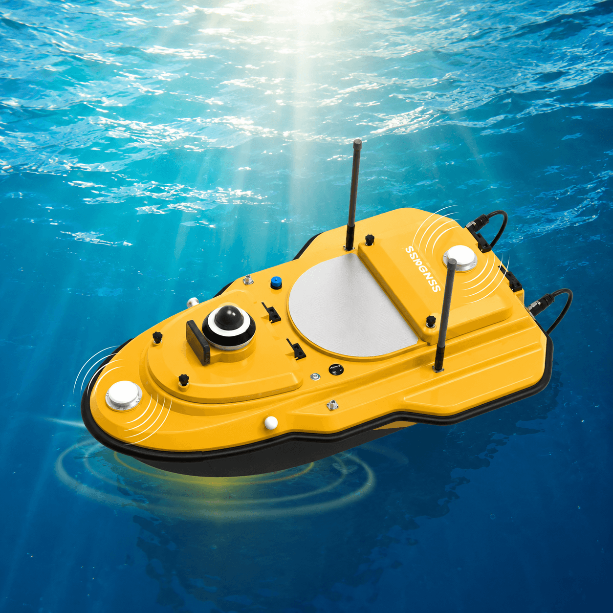
Hydrographic
SV600 unmanned vessels, echo sounders and side-scan sonars for marine surveys.
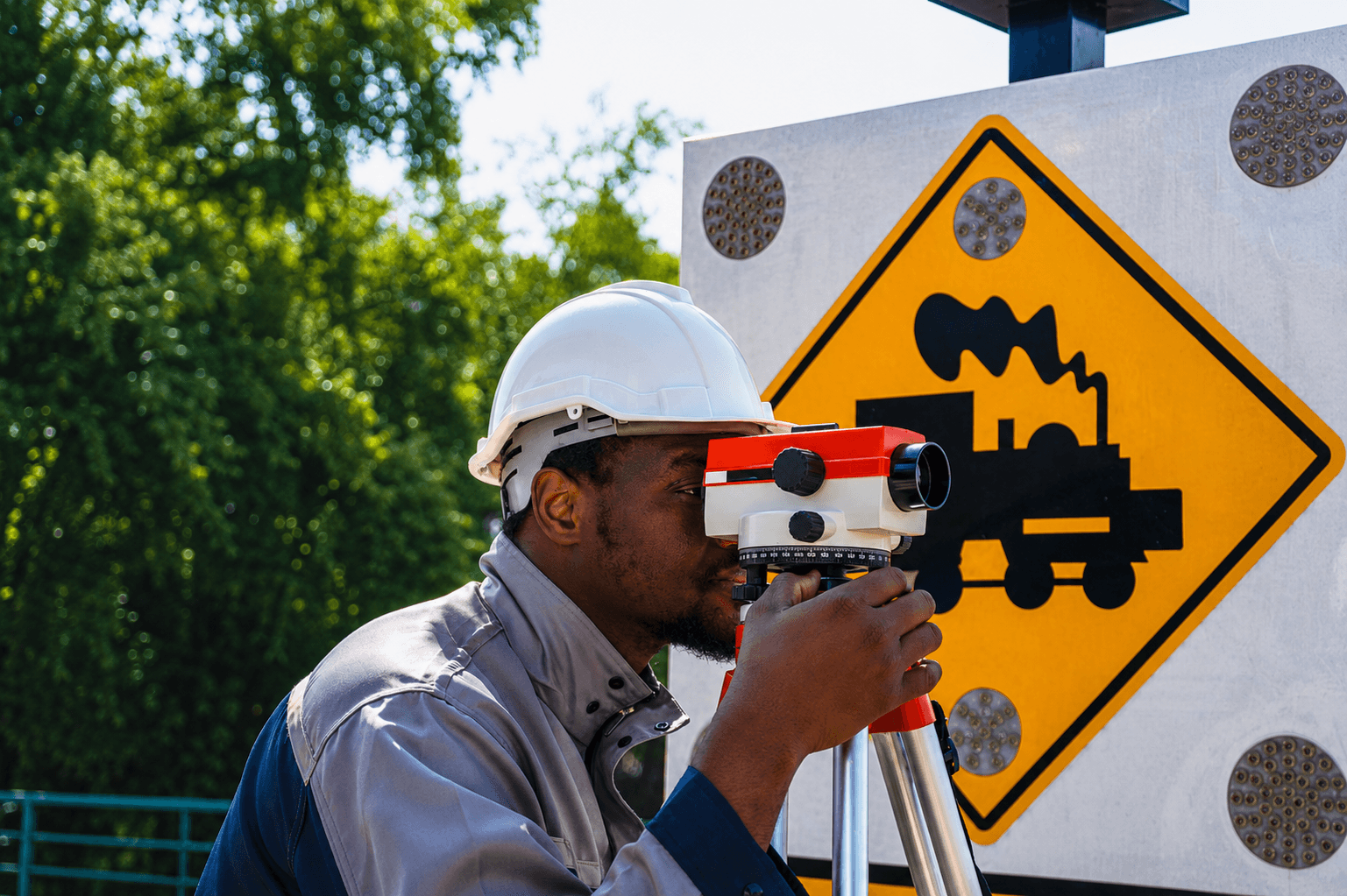
Digital Levels
Leica NA730, ComNav DS3/DS4, FOIF and Sokia levels for construction grade work.
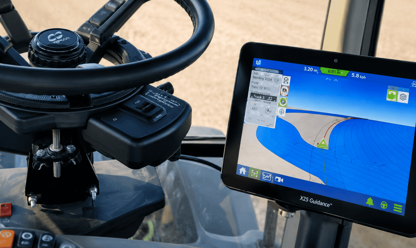
Auto-Steering
ComNav AG 501 PRO & AG 502 — GNSS-guided precision agriculture steering systems.
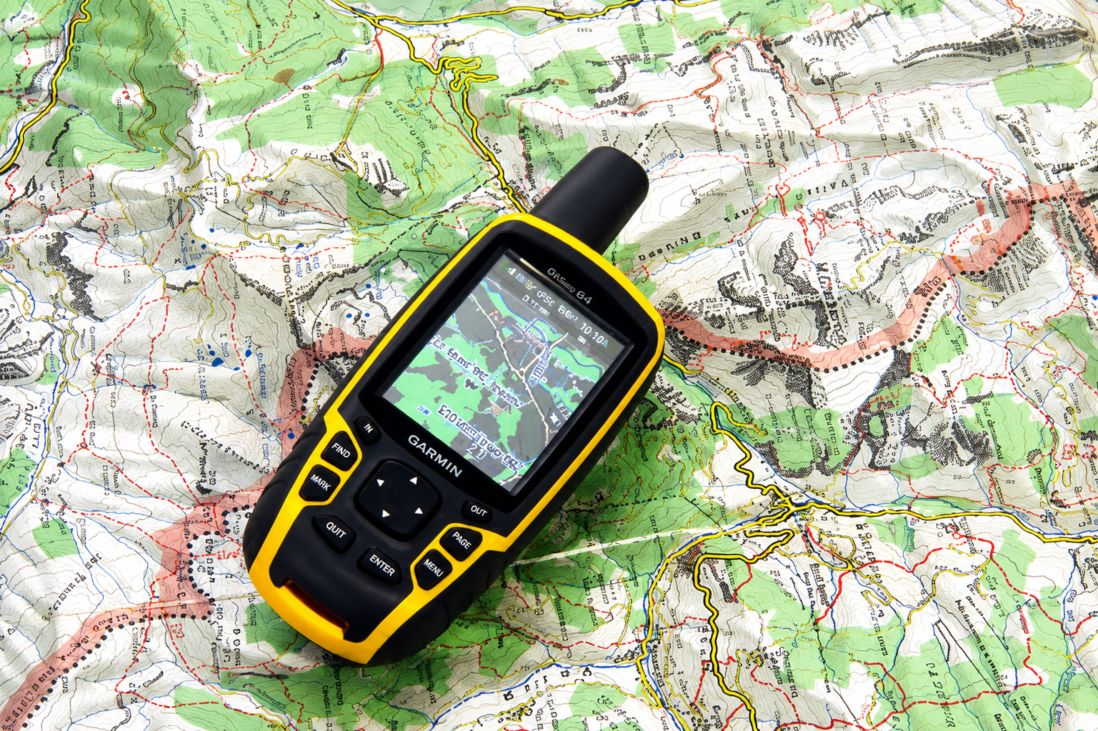
Handheld GPS
Garmin GPSMAP series, Wangan, RuinOne RDC20 — rugged field navigation devices.
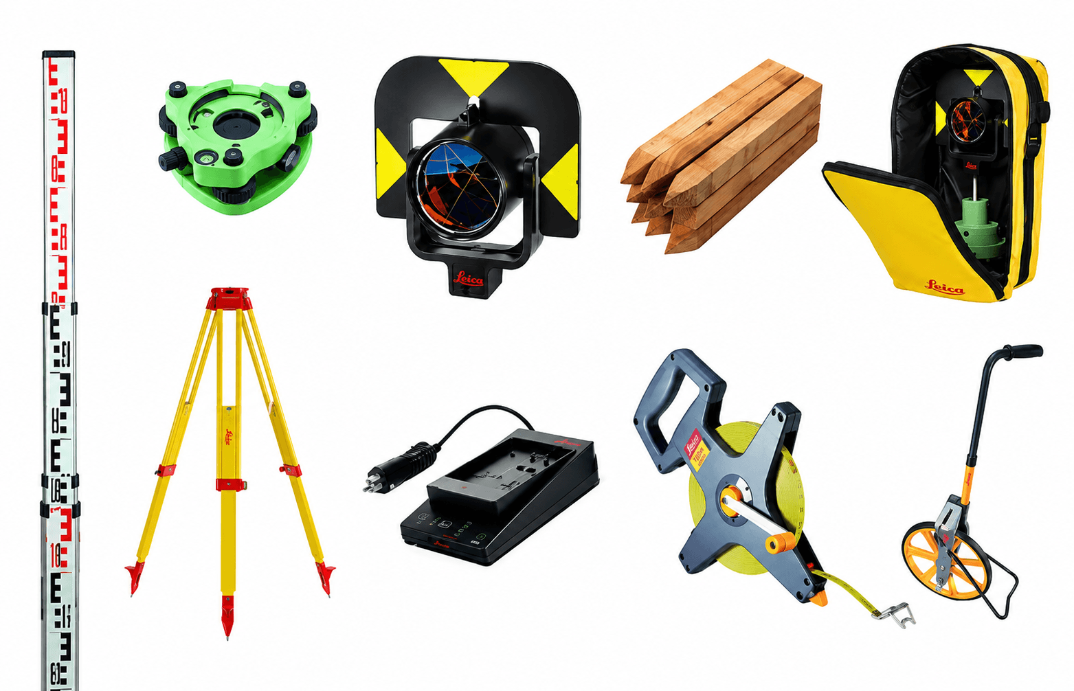
Accessories
Poles, tripods, prisms, batteries, cables and everything else your field crew needs.
Industries We Serve
See OTIC Geosystems in Action
Take an interactive walkthrough of our geospatial platform, explore real equipment workflows, live CORS positioning, and field data tools before you talk to our team.
Beyond Equipment Supply
We are your complete global geospatial partner — from purchase through to field productivity.
Equipment Sales
Full product range with competitive pricing. Request a quote online or contact our sales team.
Shop NowCalibration & Repair
Factory-trained technicians. Quick turnaround on GNSS, total stations, and drone repairs worldwide.
Book ServiceSoftware Solutions
From GIS platforms to drone photogrammetry software — we supply, license, and support the tools that turn raw field data into actionable deliverables.
Explore SoftwareAerial Surveying
Turn-key UAV mapping, LiDAR scanning, and photogrammetry services for projects worldwide.
Get a QuoteAfter-Sales Support
Dedicated global technical support team. Remote assistance, on-site visits, and warranty management.
Contact SupportEquipment Sales
Full product range with competitive pricing. Request a quote online or contact our sales team.
Shop NowCalibration & Repair
Factory-trained technicians. Quick turnaround on GNSS, total stations, and drone repairs worldwide.
Book ServiceSoftware Solutions
From GIS platforms to drone photogrammetry software — we supply, license, and support the tools that turn raw field data into actionable deliverables.
Explore SoftwareAerial Surveying
Turn-key UAV mapping, LiDAR scanning, and photogrammetry services for projects worldwide.
Get a QuoteAfter-Sales Support
Dedicated global technical support team. Remote assistance, on-site visits, and warranty management.
Contact Support