
Mining
High-accuracy measurement for every tonne, every face, every stockpile.
Driving precision and performance across every stage.
Mining operations require rugged, high-precision geospatial equipment capable of performing reliably in demanding environments. OTIC Geosystems supplies and supports a comprehensive range of surveying instruments for mine planning, production reporting, volumetric analysis, and safety monitoring.
What You're Up Against
Accurate volumetric measurement of stockpiles and excavations
High-productivity pit floor and face surveys
Equipment durability in dusty, high-vibration environments
Rapid drone-based surveys for large open-pit operations
Our Solutions
UAV Volumetrics
DJI survey drones for rapid stockpile and pit surveys — 100x faster than traditional methods.
Mining GNSS
High-accuracy RTK GNSS for mine control networks, machine guidance, and deformation monitoring.
3D Scanning
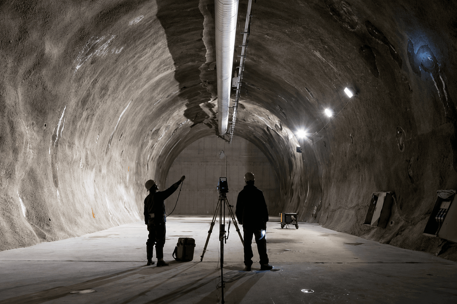
Laser scanners for face mapping, tunnel profiling, and as-built documentation of mining infrastructure.
Robotic Total Stations
One-person operation for face surveys, displacement monitoring, and underground control.
Equipment
Recommended for Mining
Ready to start?
Talk to Our Team
Get expert advice on the right equipment for your specific project requirements.