
Marine & Hydrographic
From port surveys to offshore operations — precision below and above the waterline.
Driving precision and performance across every stage.
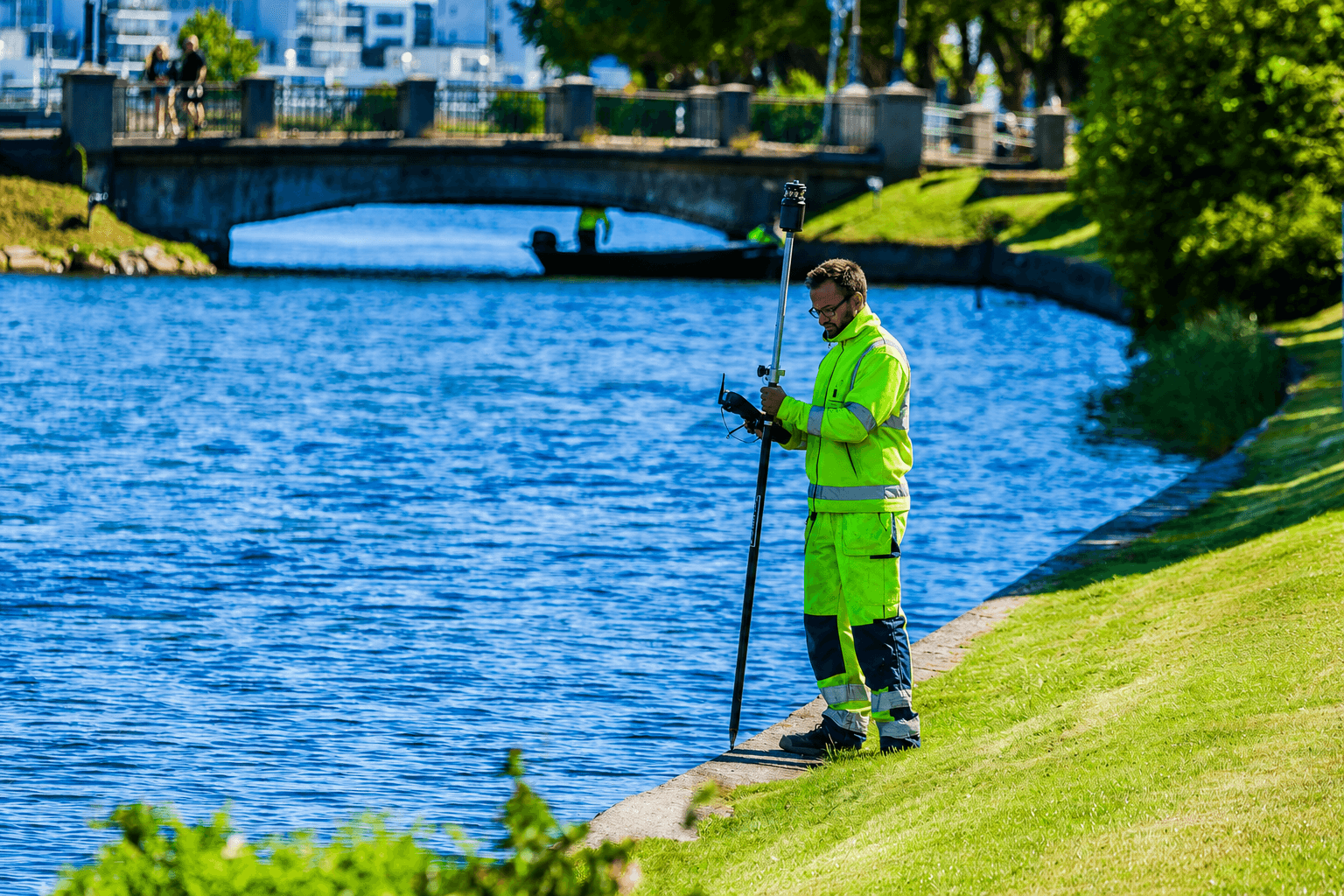
Marine and hydrographic professionals rely on precise positioning and high-performance survey systems to operate in challenging water environments. OTIC Geosystems offers a comprehensive portfolio of hydrographic technologies, including echo sounders, unmanned survey vessels, side-scan sonar, and integrated GNSS solutions for projects of every scale.
What You're Up Against
Accurate bathymetric mapping in shallow and deep water environments
Safe survey operations in busy port and offshore zones
Integration of sonar, echo sounder, and GNSS positioning
Delivering data to IHO S-44 standards
Our Solutions
Echo Sounders
Single and multibeam echo sounders for bathymetric surveys of ports, channels, and offshore zones.
Unmanned Survey Vessels
SV600 USV for safe, efficient hydrographic surveys in shallow, congested, or hazardous waters.
Marine GNSS Positioning
High-accuracy GNSS for vessel positioning, tidal correction, and data georeferencing.
Side-Scan Sonar
Seabed imaging sonar for object detection, pipeline surveys, and seabed classification.
Equipment
Recommended for Marine & Hydrographic
Ready to start?
Talk to Our Team
Get expert advice on the right equipment for your specific project requirements.