
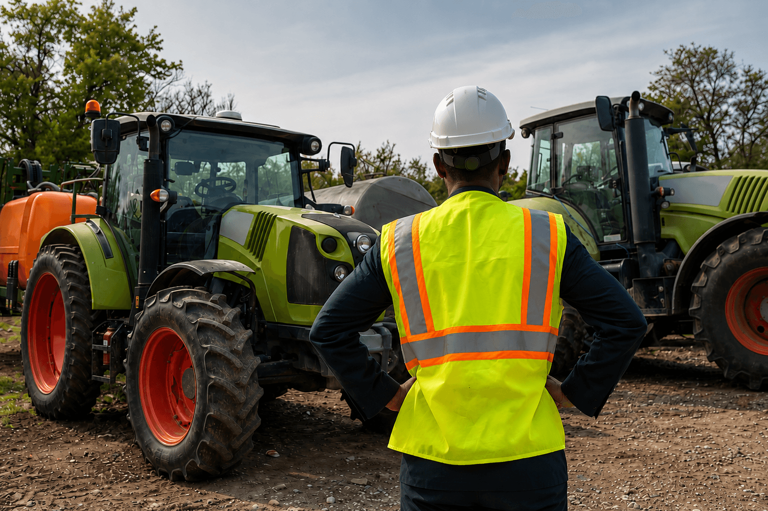
Agriculture & Agritech
Smart farming technology for precision agriculture and land management.
Driving precision and performance across every stage.
Farmers and agribusinesses worldwide are embracing precision agriculture to optimize resources and maximize yields. OTIC Geosystems delivers reliable geospatial solutions, including GPS auto-steering, drone surveying, crop monitoring, and precision mapping technologies.
What You're Up Against
Reducing input costs through precision application of water, fertiliser, and pesticide
Increasing yield through accurate land levelling and drainage management
Monitoring large farm areas efficiently
Drone operations for crop health assessment
Our Solutions
Auto-Steering Systems
ComNav AG501 PRO and AG502 GNSS auto-steering for tractors and farm machinery — sub-inch pass-to-pass accuracy.
Agricultural Drones
Joyance and DJI Agras T50 — variable-rate spraying, seeding, and crop monitoring drones.
Handheld GPS
Garmin GPSMAP series and rugged handhelds for farm navigation, boundary mapping, and field recording.
Field Mapping
RTK GNSS for precise field boundary surveys, land levelling design, and drainage planning.
Equipment
Recommended for Agriculture & Agritech
Ready to start?
Talk to Our Team
Get expert advice on the right equipment for your specific project requirements.