
Construction & Civil
From site setup to as-built geospatial tools built for the pace of mega-projects.
Driving precision and performance across every stage.
Every successful construction project begins with precise measurements. OTIC Geosystems delivers industry-leading surveying equipment, technical expertise, and support to help construction professionals work with confidence in any environment.
What You're Up Against
Rapid site control and stakeout across large project footprints
Accurate machine control and grading data
As-built verification against BIM models
Dust, heat, and vibration in harsh site environments
Our Solutions
Construction Total Stations
Robotic and manual total stations for fast, accurate stakeout and monitoring on live construction sites.
Site GNSS Systems
RTK GNSS for rapid control network establishment and machine guidance integration.
3D Laser Scanners
LS300 and LS600 SLAM scanners for as-built capture, clash detection, and BIM verification.
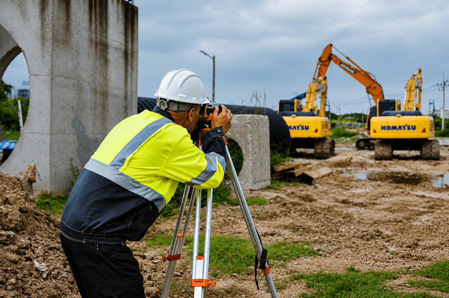
Construction Levels
Auto levels and digital levels for formwork, foundation, and structural height control.
Equipment
Recommended for Construction & Civil
Ready to start?
Talk to Our Team
Get expert advice on the right equipment for your specific project requirements.