
Comprehensive courses designed by experts to advance your career in geospatial technology
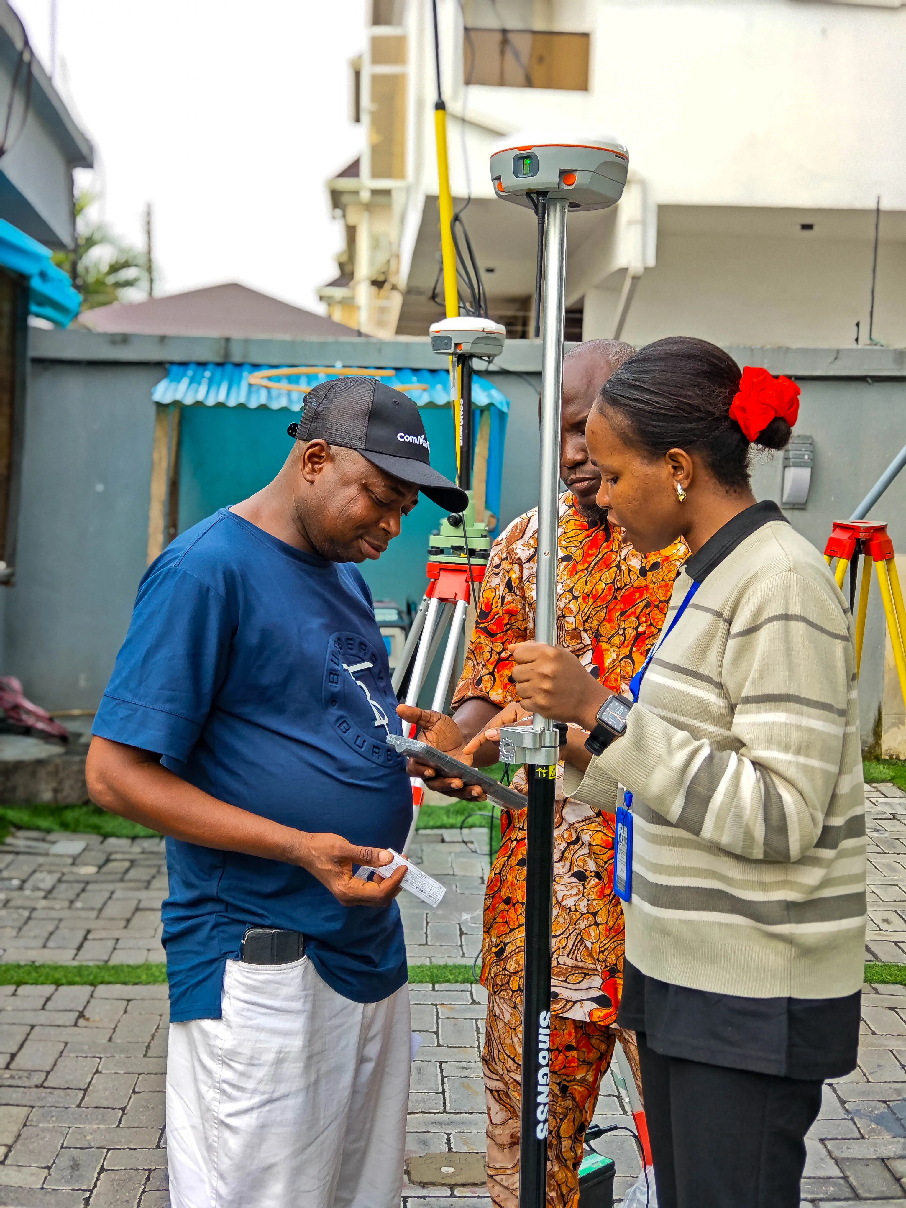
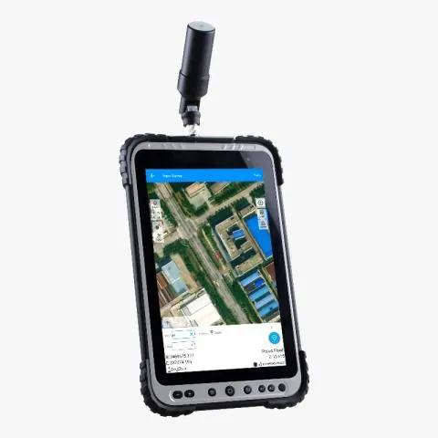
Master GNSS fundamentals, satellite constellations, and survey techniques. Hands-on experience with static, RTK, DGPS, and professional post-processing.
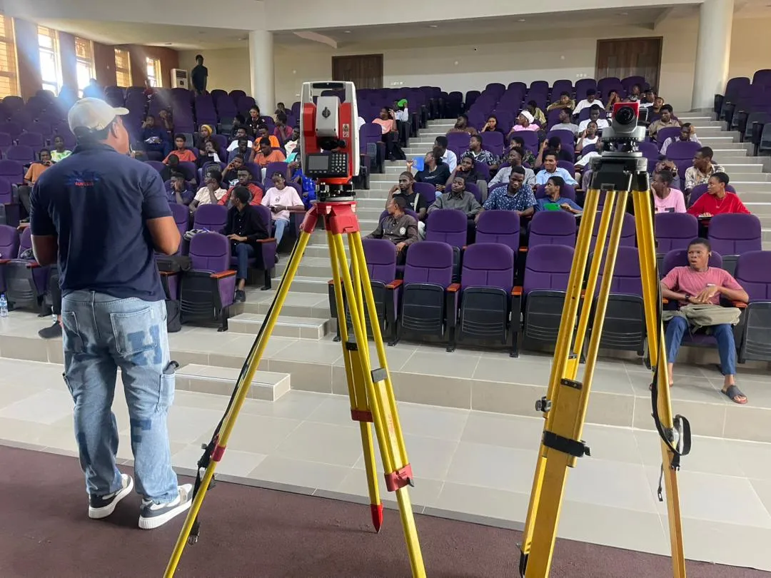
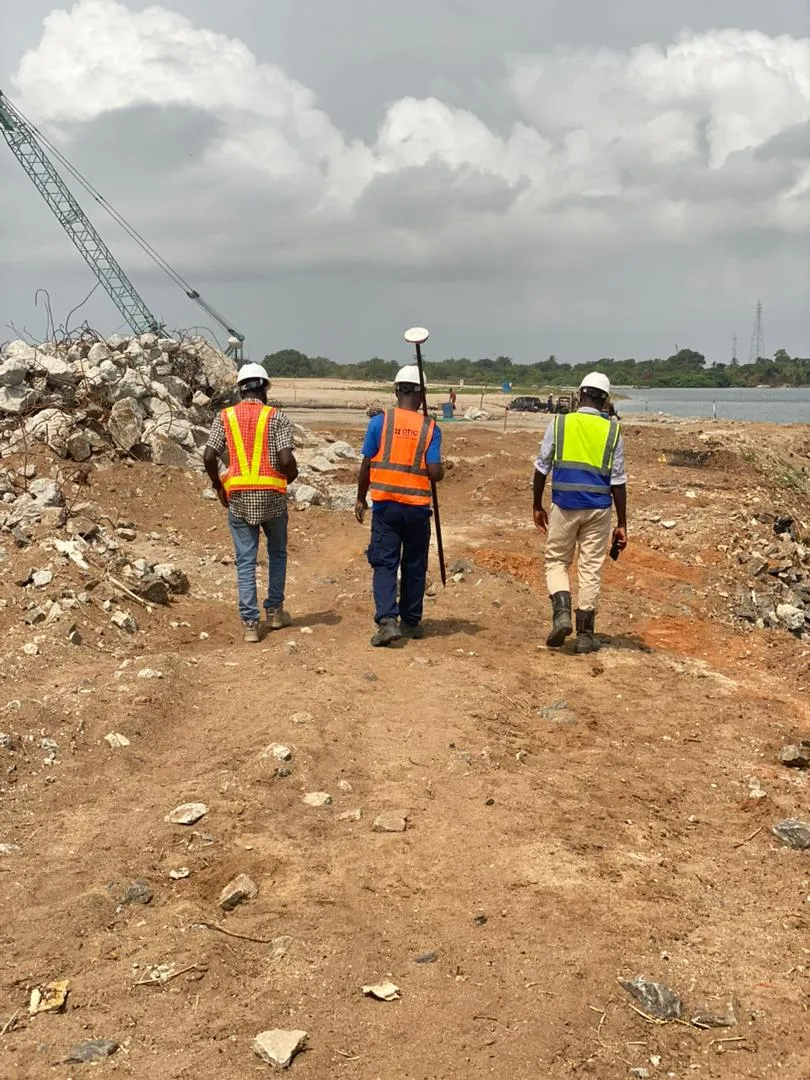
Precision measurement, site setup, traversing, and topographic surveys. Learn workflows with Leica, FOIF and COMNAV Total Stations.

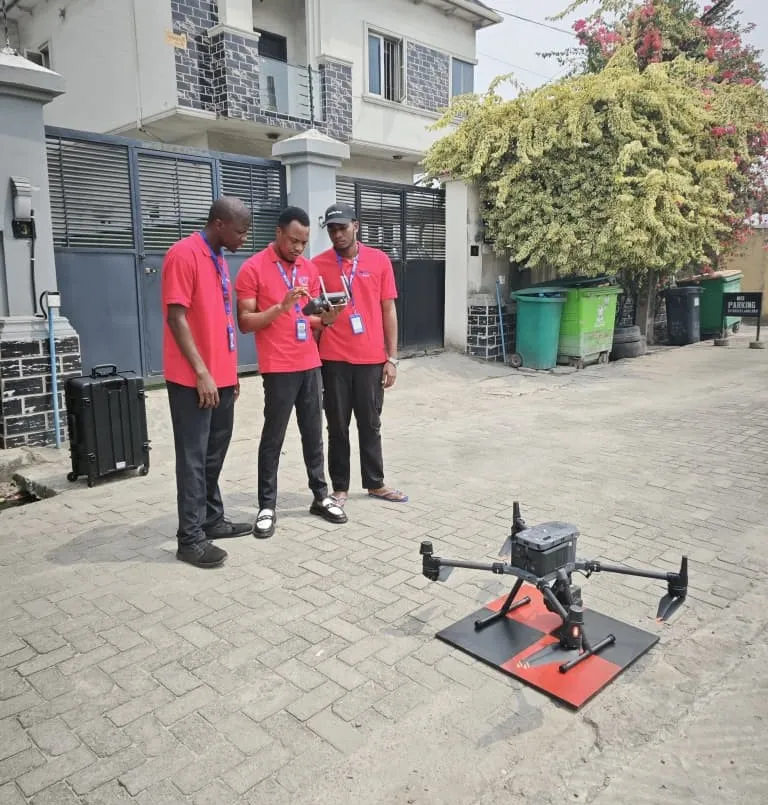
Comprehensive drone mapping workflows including mission planning, RTK flights, photogrammetric processing, and 3D model creation.
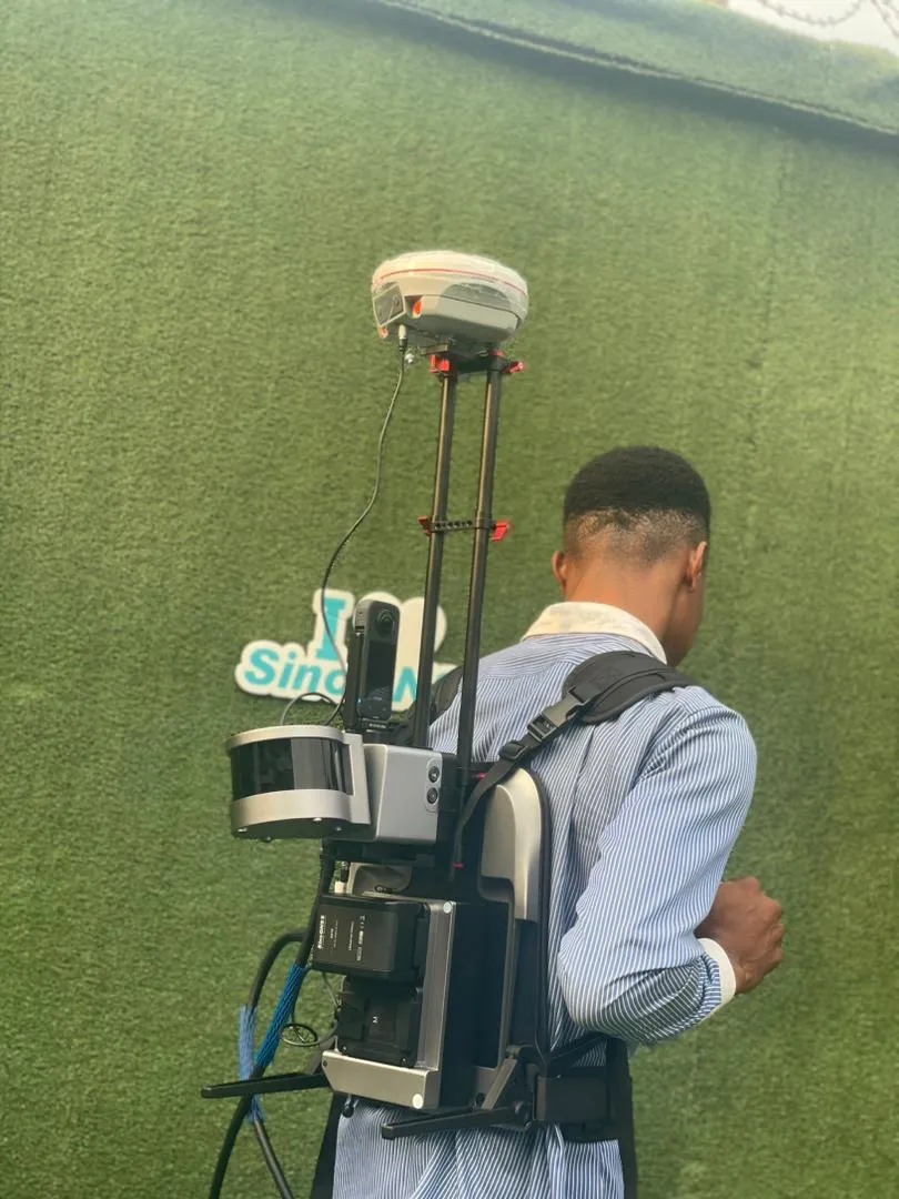
Advanced 3D laser scanning techniques for survey, engineering, and BIM applications with point cloud processing.

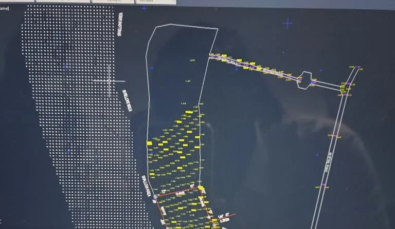
Master bathymetric surveying with echosounders, GNSS-integrated systems, and professional data processing workflows.
Professional 2D and 3D drafting, layer management, and technical drawing workflows for surveyors and engineers.
Spatial data analysis, map creation, and geospatial workflows for surveying, environmental, and urban planning.
Professional engineering survey techniques including road surveys, cross-sections, drainage mapping, and contour generation.
Advanced LIDAR drone surveying and data processing for high-precision topographic mapping and volumetric analysis.