Engineering Survey Course
Professional surveying for civil engineers and infrastructure projects
Choose Your Training Option
Perfect for individual professionals seeking personal attention
- One-on-one instructor support
- Flexible scheduling
- Customized learning pace
Ideal for teams and organizations (2+ people)
- Cost-effective for teams
- Team building & collaboration
- Customized content for your organization
Secure your spot • Free consultation available • Flexible payment options
Course Highlights
What You'll Master
Comprehensive skills and knowledge you'll gain from this professional training program
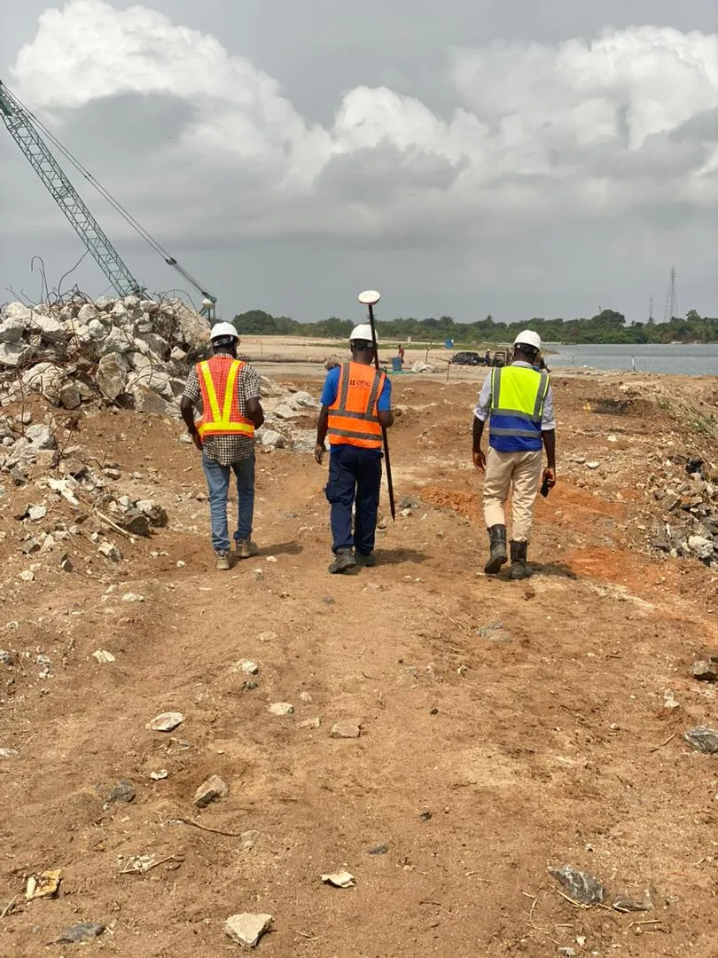
Road, topographic, and site survey planning
Practical, hands-on learning with real-world applications
Cross-sections, longitudinal sections, and drainage mapping
Practical, hands-on learning with real-world applications
Accuracy and field data quality control
Practical, hands-on learning with real-world applications
Contour generation and layout preparation
Practical, hands-on learning with real-world applications
Integrating data with AutoCAD, Global Mapper, Surfer
Practical, hands-on learning with real-world applications
Producing professional plans, 3D models, and reports
Practical, hands-on learning with real-world applications
Detailed Course Overview
A professional Engineering Survey course designed for Surveyors, Civil Engineers, and Infrastructure professionals, covering precision site measurements, road and topographic surveys, cross-sections, longitudinal sections, drainage mapping, contour generation, and field-to-office workflows using AutoCAD, Global Mapper, and Surfer.