Bathymetric Survey Course
Master underwater surveying with echosounders and GNSS integration
Choose Your Training Option
Perfect for individual professionals seeking personal attention
- One-on-one instructor support
- Flexible scheduling
- Customized learning pace
Ideal for teams and organizations (2+ people)
- Cost-effective for teams
- Team building & collaboration
- Customized content for your organization
Secure your spot • Free consultation available • Flexible payment options
Course Highlights
What You'll Master
Comprehensive skills and knowledge you'll gain from this professional training program
Survey planning and equipment setup
Practical, hands-on learning with real-world applications
Safe handling of echosounders and transducers
Practical, hands-on learning with real-world applications
Accurate depth and GNSS data capture
Practical, hands-on learning with real-world applications
Quality control and data cleaning
Practical, hands-on learning with real-world applications
Processing in HYSURVEY, AutoCAD, Global Mapper, Surfer
Practical, hands-on learning with real-world applications
Producing contour maps, 3D surfaces, and reports
Practical, hands-on learning with real-world applications
Detailed Course Overview
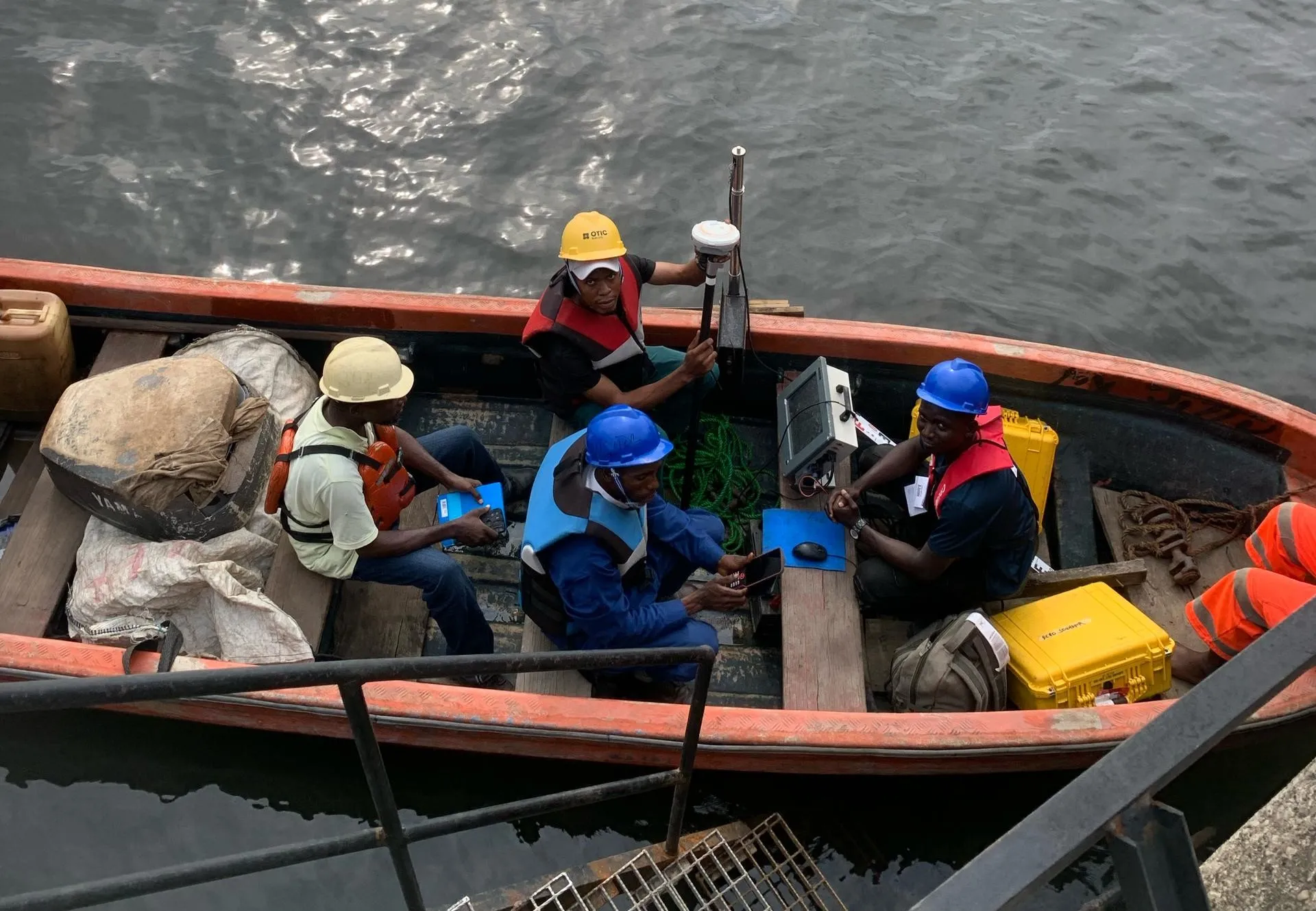
This course focuses on bathymetric surveying, including operation of echosounders, transducers, and GNSS-integrated systems. Learners practice depth measurement, data acquisition, calibration, tide correction, and noise filtering, and perform post-processing using HYSURVEY, AutoCAD, Global Mapper, and Surfer. Exercises enable creation of contour maps, 3D surfaces, and precise navigation-ready datasets for marine, engineering, and environmental applications.