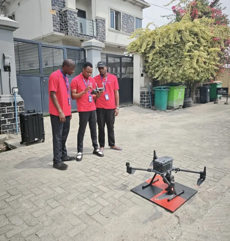
LIDAR Drone Course (Advanced)
Advanced LIDAR drone surveying and data processing
Choose Your Training Option
Perfect for individual professionals seeking personal attention
- One-on-one instructor support
- Flexible scheduling
- Customized learning pace
Ideal for teams and organizations (2+ people)
- Cost-effective for teams
- Team building & collaboration
- Customized content for your organization
Secure your spot • Free consultation available • Flexible payment options
Course Highlights
What You'll Master
Comprehensive skills and knowledge you'll gain from this professional training program
LIDAR drone operation and safety
Practical, hands-on learning with real-world applications
Advanced point cloud data capture
Practical, hands-on learning with real-world applications
Data accuracy and quality assurance
Practical, hands-on learning with real-world applications
Processing LIDAR data in specialized software
Practical, hands-on learning with real-world applications
Creating high-precision topographic maps
Practical, hands-on learning with real-world applications
Volumetric calculations and analysis
Practical, hands-on learning with real-world applications
Detailed Course Overview
An advanced course focusing on LIDAR drone technology for high-precision surveying. Learn to operate LIDAR-equipped drones, capture accurate point cloud data, and process results for topographic mapping, volumetric analysis, and infrastructure monitoring.