3D Laser Scanning Course
Point cloud capture, processing for survey and BIM applications
Choose Your Training Option
Perfect for individual professionals seeking personal attention
- One-on-one instructor support
- Flexible scheduling
- Customized learning pace
Ideal for teams and organizations (2+ people)
- Cost-effective for teams
- Team building & collaboration
- Customized content for your organization
Secure your spot • Free consultation available • Flexible payment options
Course Highlights
What You'll Master
Comprehensive skills and knowledge you'll gain from this professional training program
Scanner setup and scan planning
Practical, hands-on learning with real-world applications
Field point cloud capture techniques
Practical, hands-on learning with real-world applications
Safety and precision in scanning
Practical, hands-on learning with real-world applications
Quality control of 3D data
Practical, hands-on learning with real-world applications
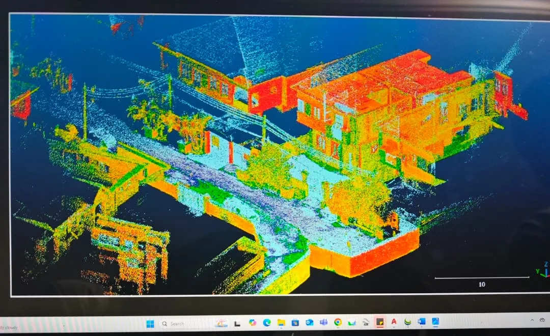
Processing with LSMASTER, ReCap, CloudCompare, Revit
Practical, hands-on learning with real-world applications
Producing accurate 3D models and reports
Practical, hands-on learning with real-world applications
Detailed Course Overview
An advanced course covering 3D laser scanning techniques for survey, engineering, and BIM applications. Participants learn point cloud capture, scanner setup, scanning strategies, and post-processing using Revit, ReCap, and CloudCompare. Practical exercises focus on creating accurate 3D models, topographic maps, and as-built documentation for construction, infrastructure, and heritage projects.