

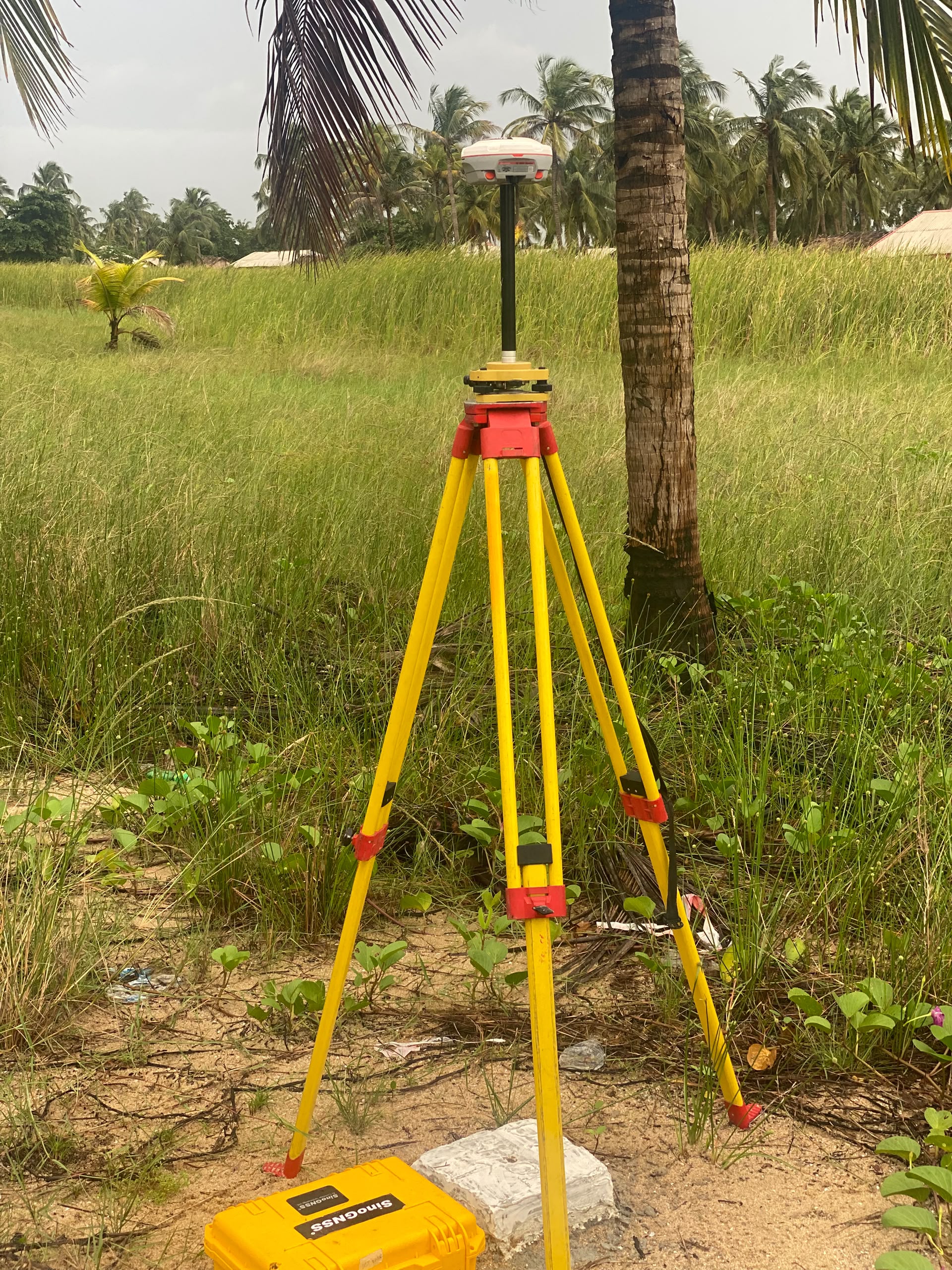
Why Your GNSS Receiver Is Not the Problem: 7 Field Issues That Affect RTK Accuracy and How to Solve Them
A GNSS receiver can be capable of centimetre-level positioning and still produce unexpected results in the field.
When surveyors experience inaccurate coordinates, slow fixes, floating solutions, or inconsistent measurements, the receiver is often the first thing blamed.
But RTK accuracy depends on more than the receiver.
Satellite visibility, multipath, correction data, antenna height, pole stability, CORS connectivity, and coordinate configuration can all affect the final survey result. NOAA's National Geodetic Survey also identifies factors such as multipath, antenna setup, and user configuration as important sources of GNSS positioning errors.
Here are seven field issues to check before assuming your GNSS receiver is faulty.
1. Poor Satellite Visibility
GNSS receivers need a clear view of the sky to receive satellite signals effectively.
Working close to tall buildings, dense vegetation, bridges, towers, or other obstructions can reduce satellite visibility and affect RTK initialization.
How to solve it:
Move to a more open location whenever possible. Give the receiver time to track enough satellites and achieve a stable Fixed solution before collecting important points.
Using multiple GNSS constellations can also improve satellite availability in challenging environments.
2. Multipath Interference
Multipath occurs when GNSS signals reflect off nearby surfaces before reaching the antenna.
Buildings, vehicles, metal structures, water surfaces, signs, and tree canopies can create reflected signals that interfere with the direct satellite signal. This can introduce noise and, in some cases, affect ambiguity resolution.
How to solve it:
Avoid collecting critical points close to reflective surfaces whenever possible.
If the location cannot be avoided, allow more observation time and use repeated measurements from different satellite geometries.
3. Unstable or Poorly Vertical Survey Pole
A GNSS receiver can be working correctly while the survey pole introduces errors.
If the pole is leaning, moving, bent, or the bubble is not properly adjusted, the antenna will not be positioned exactly where the surveyor expects.
This becomes particularly important when collecting control points or precise elevations.
How to solve it:
Check the pole bubble regularly, keep the pole stable, and make sure it is properly vertical before recording the point.
A bent pole or poorly adjusted bubble can create systematic field errors even when the GNSS receiver itself is functioning normally.
4. Incorrect Antenna Height
Incorrect antenna height is another common source of survey errors.
If the height entered into the controller does not match the actual height of the antenna, the calculated position can be wrong, particularly in the vertical component.
The antenna type and measurement method also need to match the equipment configuration. NOAA notes that incorrect antenna identification or antenna reference point height can introduce significant positioning errors.
How to solve it:
Before starting the survey:
• Measure the antenna height carefully
• Confirm the measurement method
• Select the correct antenna type
• Check the controller settings
• Recheck the height whenever the setup changes
Do not assume the controller is using the correct value simply because the receiver is connected.
5. Poor or Unreliable RTK Correction Data
RTK depends on correction data.
If your rover is not receiving corrections properly, you may experience Float solutions, slow initialization, frequent loss of Fix, or inconsistent positioning.
For network RTK, issues can occur with the internet connection, NTRIP configuration, mount point, server, IP address, port, or the correction service itself.
How to solve it:
Check:
• Internet connection
• NTRIP username and password
• Mount point
• IP address
• Port
• RTCM correction stream
• CORS availability
• Distance and connection to the correction source
If the correction connection is unstable, test another known working correction source where available.
6. Unstable CORS or Unsuitable Correction Source
Having an RTK correction connection does not automatically mean the correction source is suitable for every survey.
The distance to a reference station, correction-stream quality, network availability, and CORS service configuration can all affect RTK performance.
A rover may therefore appear to have a receiver problem when the actual issue is the correction infrastructure.
How to solve it:
Check whether other receivers using the same CORS are experiencing similar issues.
Confirm that the selected mount point is appropriate for the job and that the CORS station is operational.
For important control work, always verify the result against known control rather than relying only on the status displayed by the receiver.
7. Incorrect Coordinate System or Survey Configuration
Sometimes the GNSS receiver produces a correct position, but the displayed or exported coordinates aren't what the surveyor expects.
This can happen when the wrong coordinate system, datum, projection, geoid model, or transformation parameters are used.
For example, a project may require coordinates in a specific projected coordinate system while the controller is configured differently.
The receiver may still be calculating its position correctly.
The problem is the survey configuration.
This is why coordinate reference systems should always be confirmed before beginning a project.
Check the following:
• Datum
• Coordinate reference system
• Projection
• Zone
• Geoid model
• Coordinate transformation
• Local calibration parameters
• Units
This becomes particularly important when combining GNSS data with existing survey control, CAD drawings, GIS datasets, engineering drawings, or government reference coordinates.
How to Know Whether Your GNSS Receiver Is Actually the Problem
Before replacing your GNSS receiver, work through a structured troubleshooting process.
Start with the basics.
Step 1: Check the satellite environment
Move to an open area and check whether the receiver performs better.
Step 2: Check the RTK status
Confirm whether the receiver is Fixed, Float, or disconnected from corrections.
Step 3: Check the correction connection
Confirm your internet connection, NTRIP settings, mount point, IP, and port.
Step 4: Check the pole
Make sure the pole is stable and vertical.
Step 5: Check antenna height
Confirm that the height entered into the controller matches the actual field setup.
Step 6: Check the coordinate system
Confirm that the datum, projection, geoid, and transformation settings match the project requirements.
Step 7: Test in a known control point
If possible, occupy a reliable known control point.
If the receiver performs correctly on known control, the problem may be related to the field environment, configuration, correction service, or survey procedure rather than the receiver.
When Should You Actually Suspect the GNSS Receiver?
There are situations where the receiver itself may genuinely require inspection.
You should investigate the equipment when problems continue under controlled conditions.
For example:
• The receiver repeatedly fails to track satellites in an open environment
• Multiple known good correction sources produce the same abnormal behaviour
• The receiver consistently performs differently from another receiver under identical conditions
• The equipment has suffered physical or water damage
• Antenna or connector components are damaged
• Firmware or hardware errors are reported
• Known control points cannot be reproduced despite correct field procedures
In such cases, professional equipment testing and technical support may be appropriate.
But replacing the receiver should not always be the first response.
Building a Reliable RTK Workflow
RTK accuracy is not determined by the GNSS receiver alone.
It is the result of several components working together.
GNSS receiver + satellite environment + correction data + field setup + survey procedure + coordinate configuration = final survey result
If one part of that workflow is poorly managed, the final coordinates can be affected.
This is why experienced surveyors do not simply ask, “How accurate is this GNSS receiver?”
They also ask:
“Where am I surveying?”
“What correction service am I using?”
“How is the receiver configured?”
“Is the antenna stable?”
“Is my coordinate system correct?”
“Is the CORS connection reliable?”
These questions can often identify the real source of an RTK accuracy problem much faster than immediately blaming the equipment.
A GNSS receiver is an important part of an RTK surveying system, but it is only one part.
Poor satellite visibility, multipath, incorrect antenna height, unstable survey poles, unreliable correction data, unsuitable CORS connections, and incorrect coordinate configurations can all affect the final result.
Before investing in a new GNSS receiver, troubleshoot the entire workflow.
And when purchasing GNSS equipment, look beyond the receiver specifications. Consider the complete surveying environment, correction infrastructure, software, technical support, field conditions, and the type of work you perform.
The goal is not simply to own an expensive GNSS receiver.
The goal is to build a reliable RTK workflow that consistently produces dependable survey data.