
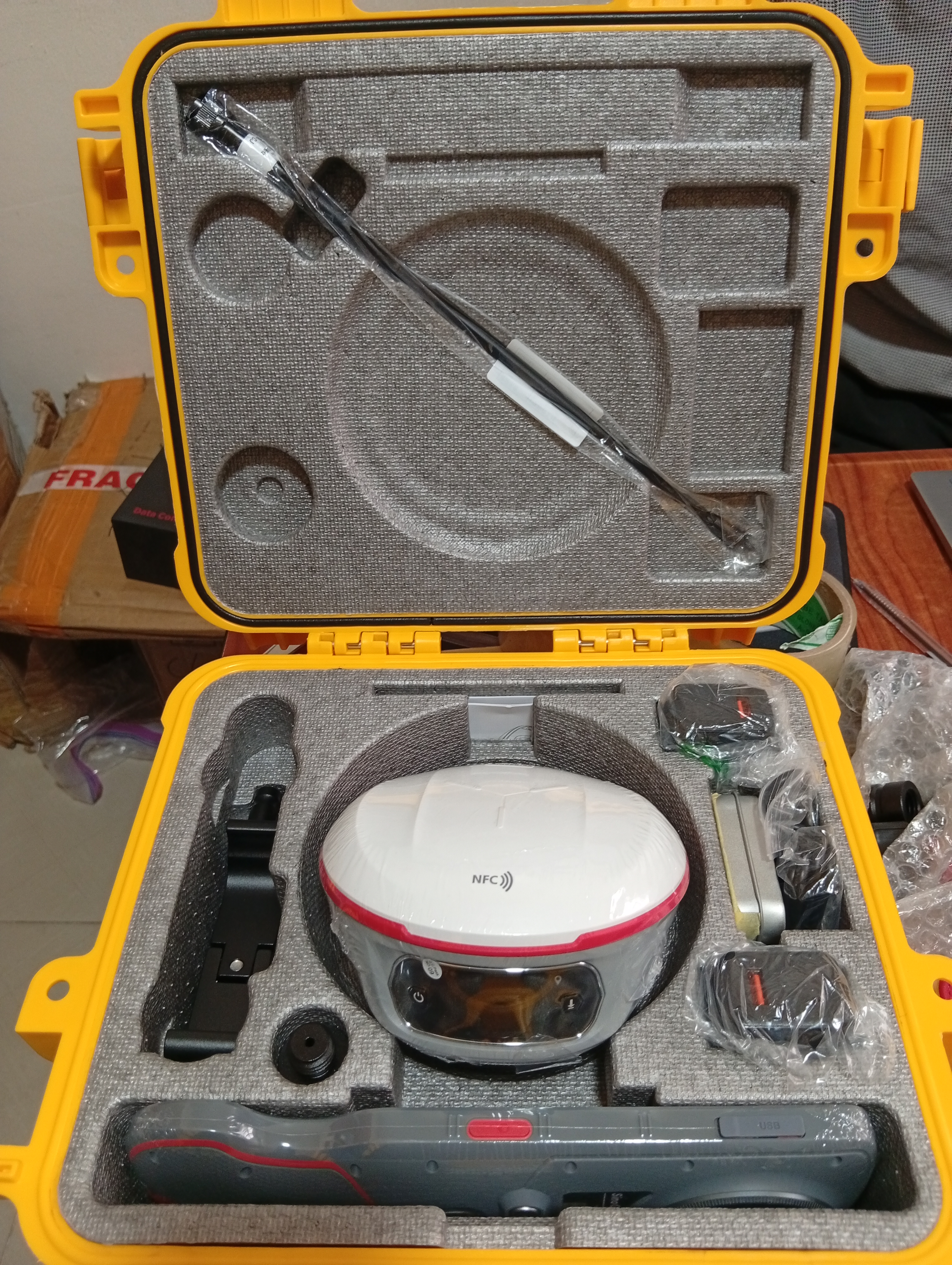
A GNSS receiver can promise centimetre-level accuracy on the box. What it can't promise is a surveyor who knows how to get that accuracy out of it, on a humid Niger Delta pipeline route, between the high-rises of Victoria Island, or on the deck of a vessel taking soundings offshore. In Nigeria's survey industry, equipment has advanced faster than the training behind it, and that gap is quietly producing a surprising number of costly, avoidable errors.
One Technology, Several Very Different Jobs
Real-Time Kinematic (RTK) GNSS works by comparing a receiver's position against a fixed reference station in real time, correcting satellite signal errors to deliver positioning accurate to within a few centimetres. That single capability underpins work that looks nothing alike across disciplines.
Cadastral surveyors use it to fix property boundaries and prepare the survey plans that back every land title in the country; work where a few centimetres of drift, multiplied across a plot, can turn into a genuine boundary dispute years later.
Engineering surveyors rely on it for road alignment, drainage gradients, and structural stakeout on construction sites, where getting a level or a centreline wrong doesn't just cost money; it can compromise how a road drains or how a building sits on its foundation.
Hydrographic surveyors, working from vessels rather than solid ground, pair RTK GNSS with echo sounders and side-scan sonar to chart riverbeds, port channels, and offshore seabeds; here, RTK corrections even help account for tidal variation, a job GPS alone was never built to do.
Three disciplines, three very different working environments, one shared requirement: a surveyor who actually understands what the receiver is doing, and when to doubt it.
Where Nigeria Makes This Harder Than the Manual Suggests
Nigeria's terrain and infrastructure throw up specific problems that a general GNSS training course from overseas won't necessarily prepare anyone for.
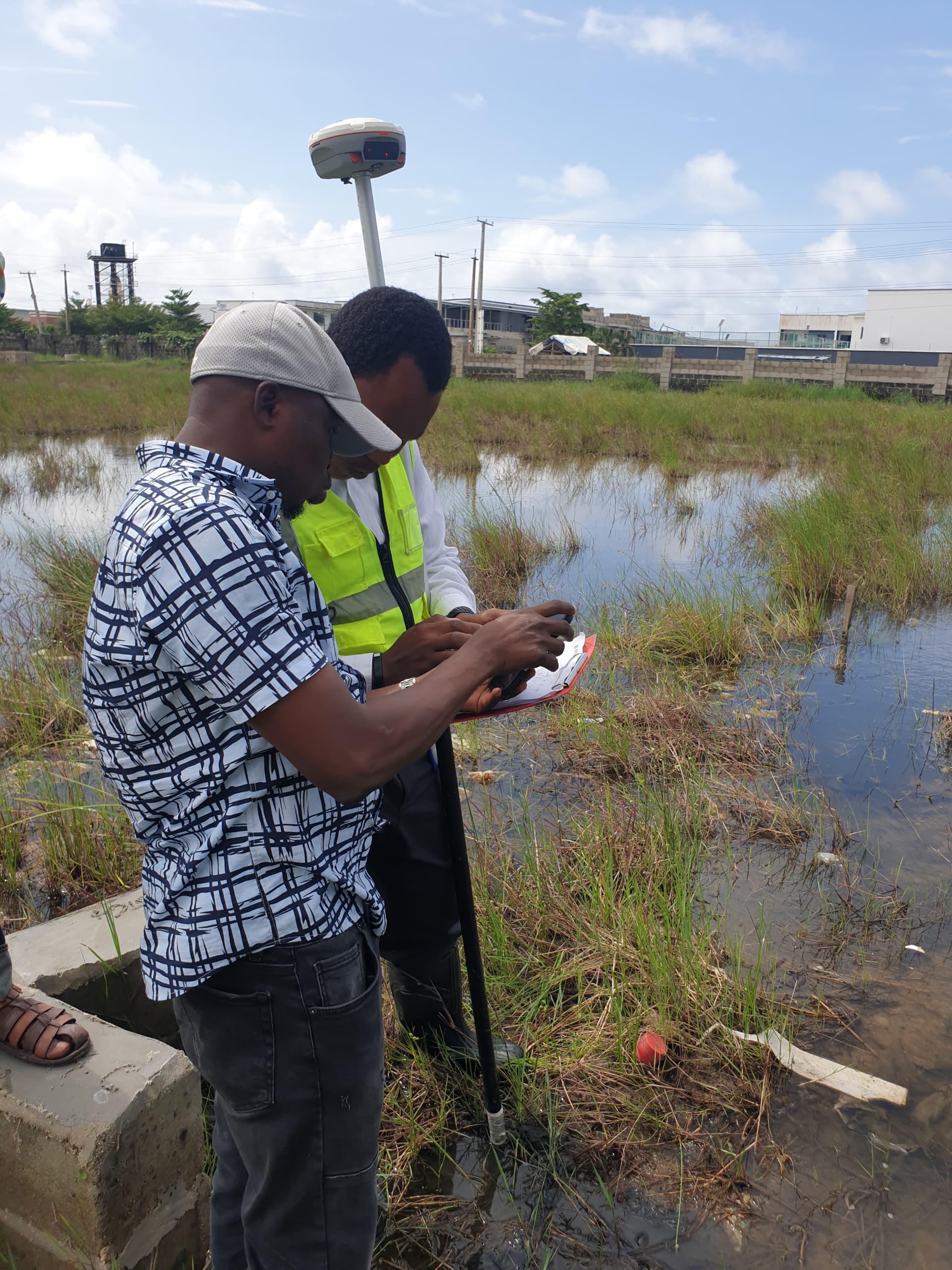
A cadastral surveyor working in Victoria Island or Ikoyi routinely loses satellite lock between high-rise buildings; a problem older dual-frequency receivers handle poorly, while modern triple-frequency units maintain a stable fix far more reliably. In the forested terrain of Cross River State or the dense canopy along Niger Delta pipeline routes, the same issue shows up for a different reason: tree cover blocking signal, not buildings. Humidity and dust across much of the country also take a toll on equipment durability that temperate-climate manuals rarely account for.
There's also a quieter technical trap that catches newer surveyors specifically: Nigeria's official national datum, Minna, is built on the older Clarke 1880 ellipsoid, while most modern infrastructure, oil, and gas projects now work in WGS84, which the global standard GNSS receivers default to. A surveyor who doesn't know the difference, or who mismanages the conversion between the two, can hand over coordinates that look precise but are quietly offset from where the client actually needs them, across either of the country's two UTM zones. Then there is the matter of corrections. NIGNET, the government's reference network run by the Office of the Surveyor General of the Federation, is a vital piece of national geodetic infrastructure, but its stations are few and far apart, which leaves large parts of the country, the north especially, with long baselines and weaker RTK performance. Understanding the correction source, the datum, and the local conditions matters just as much as the hardware itself.
Closing the Coverage Gap: SinoGNSS Meets the OTIC CORS Network
This is where hardware and infrastructure have to work as a pair. A CORS (Continuously Operating Reference Station) is a permanent GNSS base fixed at a precisely known position, broadcasting live correction data so that a rover in the field can reach centimetre-level accuracy without the crew setting up and babysitting a base station of their own. The shorter the distance between rover and reference station, the better and more dependable the fix.
OTIC Surveys has been building exactly that kind of density. Its network now stands at 35 CORS stations across Nigeria, a long way from the handful of government stations the country relied on a decade ago. Confirmed locations include Lagos State (Ajah, Epe and Badagry), Ogun (Sango-Ota), Oyo (Ibadan and Oyo town), Osun (Osogbo and Iwo, the latter hosted with the Nigerian Institution of Surveyors), Ondo (Akure), Edo (Auchi and Benin), Katsina State (OSSG), Kano State (Karkasara), Anambra (Awka and Onitsha), Rivers State (Port-Harcourt), Imo State (Owerri), Plateau State (Pankshin), Enugu, Akwa Ibom (Uyo), Yobe State (Damaturu), and Bayelsa (Yenagoa), alongside a station installed in 2024 at the Abuja headquarters of the Office of the Surveyor General of the Federation. In Ekiti State, OTIC partnered with the Ekiti branch of the Nigerian Institution of Surveyors on 28 November 2025 to commission a station that has been serving surveyors there since. Also added some numbers in 2026, which include: Kwara State (Unilorin), Delta State (Ughelli), Gombe State (OSSG), Cross-River State (Calabar and Boki), Ebonyi State (Abakaliki), Benue State (BENGIS Makurdi), Abia State (Ohafia), and Bauchi State (Federal Polytechnic)
On the rover side, OTIC is an authorised supplier of SinoGNSS receivers, including the T20, T30, Jupiter Laser RTK and Mars Laser RTK. These are triple-frequency units, which matters for the exact problems described above: they hold a stable fix between the towers of Victoria Island and under forest cover in places like Cross River far better than older dual-frequency receivers. Pair one with a nearby CORS station and the surveyor gets stable corrections, faster initialisation and a result they can defend, with no base station to carry, power or guard on site. For a cadastral crew in Awka, an engineering team on an Abuja road project, or a hydrographic party working out of Yenagoa, that combination is the practical difference between a shaky float solution and a dependable fixed one.
Why the Industries Depending on This Can't Afford to Get It Wrong
The reach of RTK GNSS work extends well beyond the survey profession itself, into sectors where the margin for error is measured in real money and real risk.
In real estate and infrastructure, Nigeria has watched land disputes stretch across years precisely because boundary surveys weren't accurate or weren't properly lodged with a Surveyor-General's office, a problem a properly trained cadastral crew, using well-maintained equipment, is positioned to prevent before a sale even closes.
In road and high-rise construction, firms like Julius Berger Nigeria, Hi-Tech Construction Limited, Craneburg, CCECC/CRCC, ITB, Darycet International Limited, and other construction firms responsible for decades of major bridges, roads, and building projects across the country, from the original Eko Bridge to ongoing federal highway work, depend on engineering survey accuracy at every stage, from initial alignment to final as-built verification. A construction site has little patience for a surveyor relearning equipment basics mid-project.
In oil and gas, firms like Seplat Energy, Oil Serv, NNPC, and Dangote understand that pipeline route surveys through swampy, GPS-unfriendly Niger Delta terrain demand receivers and operators capable of holding a fix under canopy cover, where a lost signal doesn't just slow the crew down; it can misalign an entire route segment.
And in offshore and marine work, projects like Eko Atlantic City, the reclaimed coastal development built on land recovered from the Atlantic Ocean, with marine construction advisory input from international engineering firms, rely on hydrographic survey teams who understand both the equipment and the sea conditions well enough to produce charts and soundings that engineers can actually build against.
Equipment Upgrades Are Only Half the Investment
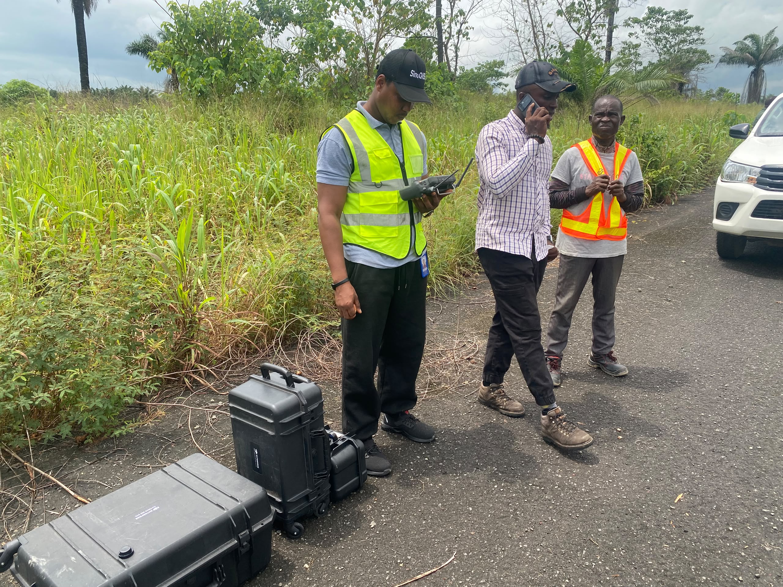
Replacing an ageing dual-frequency receiver with a modern triple-frequency unit solves part of the problem. It does not, on its own, solve the part where a field technician doesn't fully understand RTK initialization, datum transformation, or how to recognise when a "fixed" solution isn't actually reliable. Equipment and training have to be upgraded together, or the investment in better hardware quietly underperforms in the hands of a crew still working from habits built on older, less capable tools.
This is precisely the gap OTIC Geosystems exists to close. Beyond supplying manufacturer-certified GNSS receivers, total stations, and hydrographic systems from brands such as SinoGNSS, ComNav, Leica Geosystems, and FOIF, OTIC Geosystems backs them with a 35-station CORS network and runs hands-on training and onboarding programmes designed to get survey professionals and field crews genuinely confident with their equipment and with the correction service behind it, not just issued with it. For any firm serious about cadastral accuracy, engineering precision, or hydrographic reliability, pairing an equipment upgrade with proper training isn't an optional extra; it's the difference between a tool that performs on paper and one that performs in the field.
Explore OTIC Geosystems' equipment range and training support at www.oticgs.com, or call Daniel: 08085040541.