

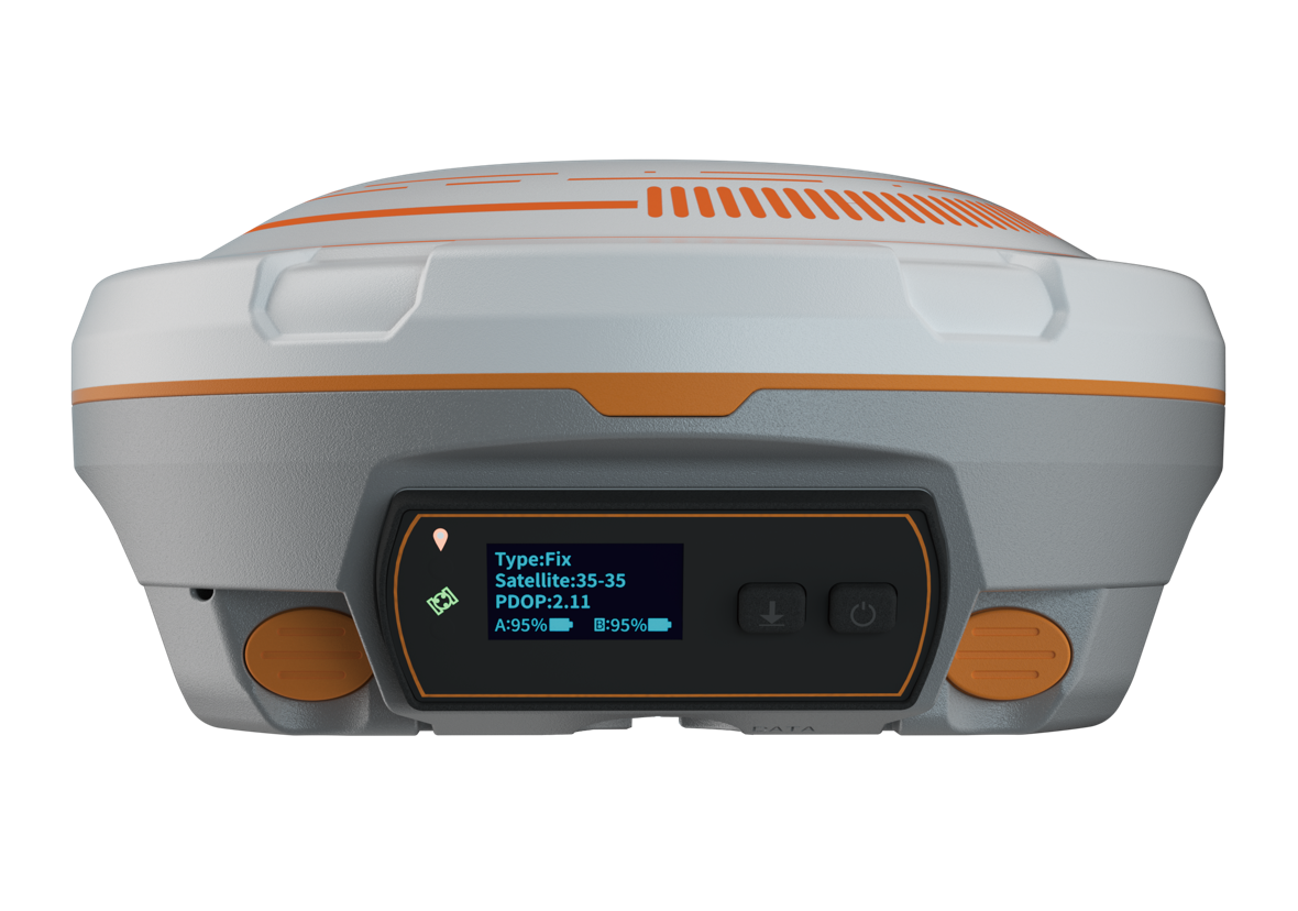
You’re using RTK. You’ve got FIXED. Everything looks fine… but your coordinates still shift. If you’ve ever walked back to a site only to find your points in the wrong place, even with FIX , you’re not alone. RTK coordinates don’t just shift by accident. Let’s break down the real reasons this happens, and how you can stop losing data.
1. Lost Correction Link Without Knowing It might be because your GNSS receiver quietly lost connection with its correction source. RTK relies on real-time corrections from a base station or CORS. If your mobile data drops or your radio link weakens for just a few seconds, your receiver may continue logging but without valid corrections, you’re logging garbage. Monitor correction status at all times Use strong SIM cards or robust radio links Only allow point logging with a FIxed Status.
2. FIX Isn’t Always Accurate Don’t be fooled by the word “FIXED or "FIX' as it may appear.” Not all FIX are good. You can still get wrong coordinates from a Fixed solution if satellite geometry is poor (e.g., high PDOP), or signal strength is low. Because that FIX was weak to begin with.
What to do:
- Only log when PDOP < 2
- Wait 5–10 seconds after getting
- FIX before logging Monitor satellite quality in your field app
3. Pole Tilt = Horizontal Error Even a slight lean in your GNSS pole especially one not using tilt compensation causes shifts in horizontal position. At 2 meters height, a few degrees of tilt = 10–30 cm error or more.
What to do:
- Initialize tilt sensors before you begin
- Use a bipod for stable pole positioning
- Watch your bubble constantly , especially on uneven terrain
4. Wrong Coordinate System = Huge Shifts Mixing up WGS84, UTM Minna Zone 32N, and Zone 31N is a common but costly mistake in Nigeria. Most GNSS receivers default to WGS84, but many projects, especially cadastral and engineering work, require coordinates in UTM Minna. If you log data in WGS84 and compare it to Minna-based plans, your coordinates can be 100 to 200 meters off. Worse still, using the wrong UTM zone, like Zone 31N in Port Harcourt instead of Zone 32N, can shift your data by hundreds of kilometers. The Easting values in each zone start from different origins, so the same point will appear in two completely different locations.
What to do:
- Confirm your coordinate system before logging
- Match your system to project specs
- Ask your team: Are we using the same datum and projection?
5. Multipath Error: When Signals Bounce Nearby buildings, tree canopies, vehicles, even metal rooftops all of these can bounce GNSS signals and create false positions. Your receiver might show FIX, but the signal it fixed on was reflected. **
What to do:
- Avoid reflective surfaces and dense trees
- Use receivers with strong multipath rejection
- Consider external antennas when working near structures
6. You Logged While in FLOAT Without Realizing It happens more often than you’d think. You believe you’re in FIX… but your app fell back to FLOAT mode and never warned you.
What to do:
- Lock point collection to FIX only
- Use apps with clear FIX/FLOAT indicators
- Review point status logs before leaving site
7. Glitches: Firmware, App, and Compatibility Issues Some coordinate shifting comes from firmware bugs or outdated apps. Even with FIX, bad software can ruin your survey quietly.
What to do:
- Keep your GNSS firmware updated
- Use recommended software from your GNSS provider
- Partner with a reliable local dealer (like OTIC Geosystems) for hands-on support.
Need Help Troubleshooting? At OTIC Geosystems, we help surveyors all over Nigeria and Africa with the right equipment and technical help they need. Whether you bought your equipment from us or not, we’re happy to help. visit [https://oticgs.com](https://geossotech.com/) 📞 Call us: +234 706 176 9934 📍 Visit our office @ N0 3 Bello close, Chevvyview Estate, Chevvydrive, Lekki-Epe Expressway 🛠️ Book a setup check or demo Contact us: [https://oticgs.com]