


Dubai is one of the world's most rapidly developing cities, and accurate geospatial data plays an important role in how the emirate plans, builds, monitors, and manages its infrastructure.
From topographic and detailed field surveys to survey control networks, geodesy, hydrography, land information, GIS, 3D mapping, and Digital Twin applications, modern surveying technology is deeply connected to Dubai's built environment.
For surveyors, engineering consultants, contractors, and construction companies searching for land surveying equipment in Dubai, OTIC Geosystems has you covered
At OTIC Geosystems, we understand that every surveying project has different equipment requirements. Through our partnerships with leading manufacturers and our experience supporting surveying and geospatial professionals, we provide solutions ranging from GNSS/RTK receivers and total stations to survey drones, 3D laser scanners, levels, hydrographic equipment, and the accessories required to complete a field setup.
Surveying Equipment Available From OTIC Geosystems
GNSS/RTK Receivers
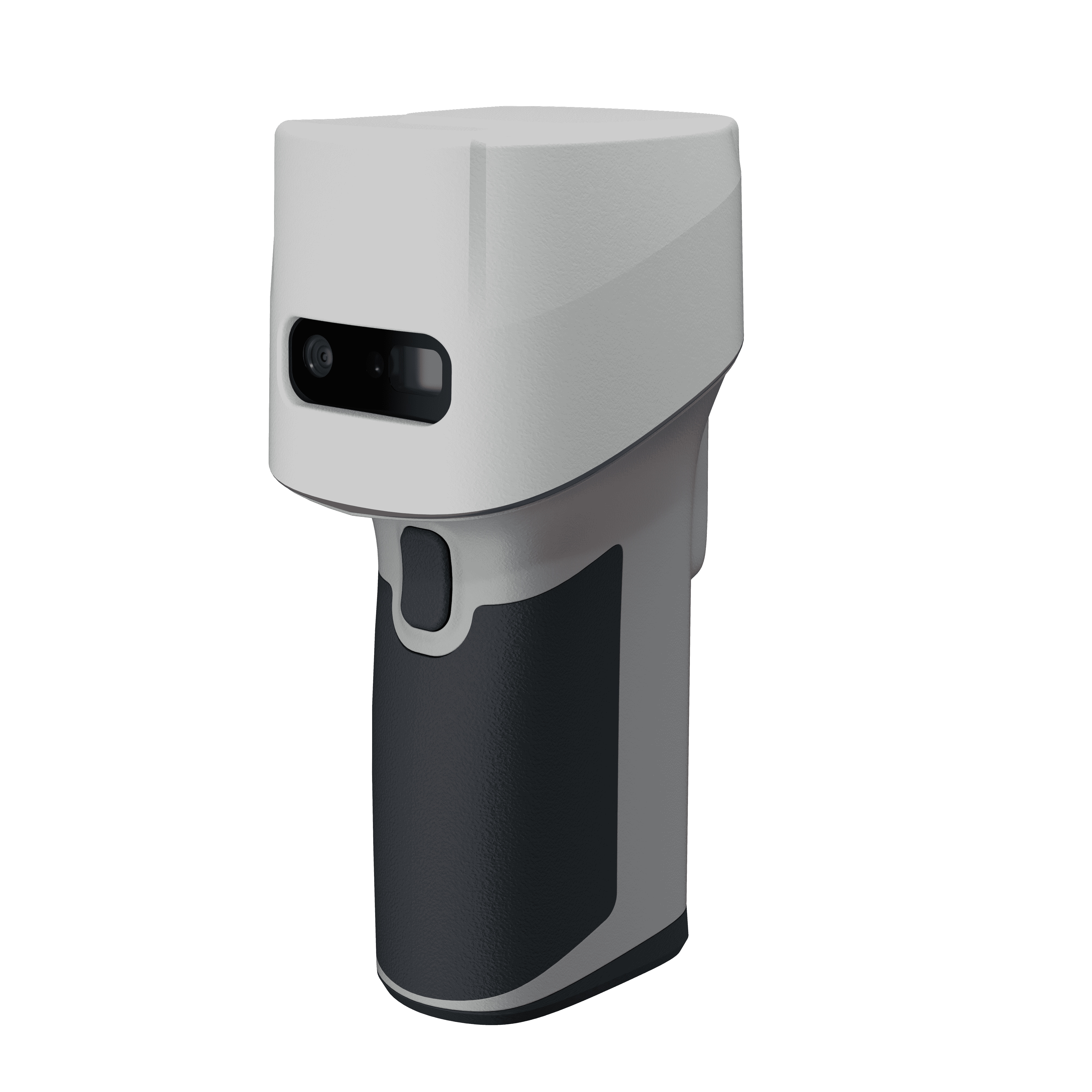
Through our partnership with ComNav Technology, we provide SinoGNSS GNSS/RTK receivers for professional surveying and positioning applications.
Our range includes the SinoGNSS T20, T30, N5, Mars Laser, and Jupiter series, giving surveyors different options depending on their requirements for RTK surveying, construction, topographic mapping, GIS, and field positioning.
We help customers select the receiver based on how they intend to use it.
Total Stations
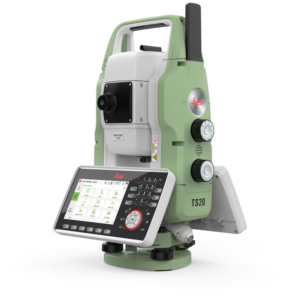
For projects requiring optical measurement and precise setting-out, we provide total station solutions from established surveying brands, including Leica Geosystems and FOIF.
These instruments support construction setting-out, topographic surveys, engineering surveys, detail surveys, and general land surveying.
Survey Drones
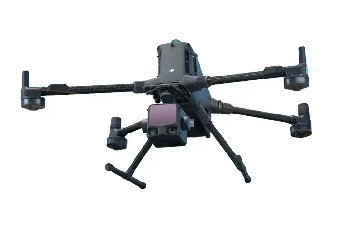
Our UAV solutions are designed for professionals who need to collect accurate aerial data over large or difficult-to-access areas.
We provide DJI Enterprise drone platforms and mapping solutions, including the Matrice and Mavic Enterprise series, with different payload options for surveying, mapping, inspection, monitoring, and other specialized applications.
3D Laser Scanners
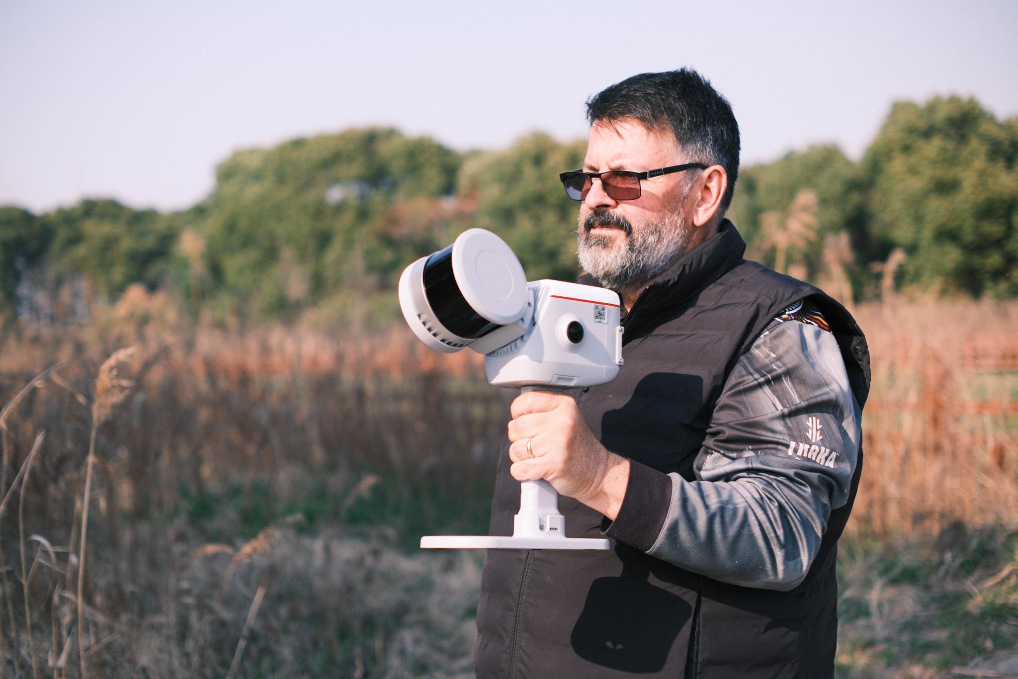
For professionals moving from traditional measurements into 3D reality capture, we provide laser scanning solutions for surveying, as-built documentation, BIM, mapping, and spatial data collection.
Our solutions include SLAM laser scanners and LiDAR systems, allowing professionals to capture detailed three-dimensional information from both ground and aerial platforms.
Levels and Field Equipment
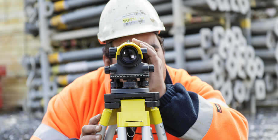
Surveying projects still require dependable conventional measurement equipment. Our range includes automatic and digital levels for leveling, construction, engineering, and surveying applications.
We also provide the supporting equipment needed to complete a field setup.
Surveying Accessories
We don't consider accessories an afterthought.
A GNSS receiver or total station is only one part of a complete surveying setup. We provide essential accessories, including tripods, tribrachs, bipods, survey poles, ranging poles, prisms, mini prisms, batteries, chargers, controller brackets, antennas, external radios, carrying cases, leveling staff, measuring equipment, and other field accessories.
This allows customers to source the main instrument and the equipment required to use it from one supplier.
Hydrographic and Specialized Geospatial Equipment
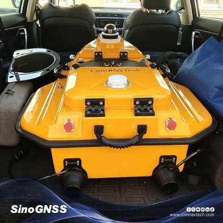
Our expertise also extends beyond land surveying.
For hydrographic and specialized geospatial applications, we provide solutions including echo sounders, sonar systems, LiDAR payloads, and other equipment used for collecting and analyzing spatial data.
Need Surveying Equipment?
From GNSS/RTK receivers and total stations to drones, 3D scanners, and surveying accessories, OTIC Geosystems provides the equipment you need for your surveying and geospatial work.
Contact us at info@oticgs.com for product inquiries and quotations.
OTIC Geosystems | Surveying & Geospatial Equipment