

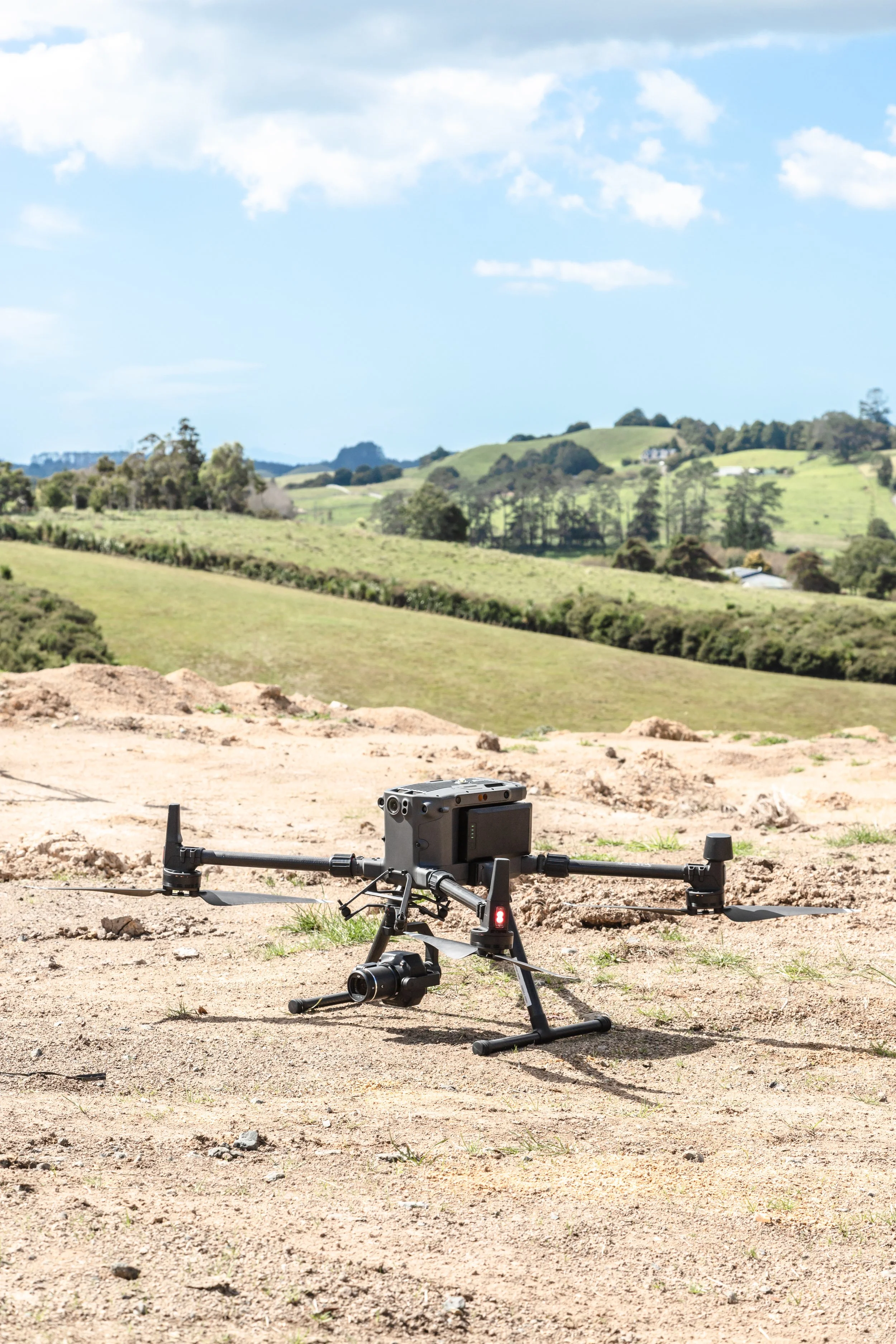
If you're searching for where to buy a drone in Nigeria, especially for surveying, mapping, construction, mining, or engineering projects, it is important to look beyond the price tag. For modern surveyors, drones have become valuable tools for covering large areas quickly, capturing detailed aerial imagery, and producing mapping data that supports better decision-making.
A drone can help surveyors reduce the time spent in the field, access difficult or extensive areas, monitor project progress, and collect data for orthomosaics, topographic maps, 3D models, point clouds, and digital elevation models. However, the right drone depends on the type of survey you want to carry out.
Why Do Surveyors Need Drones?
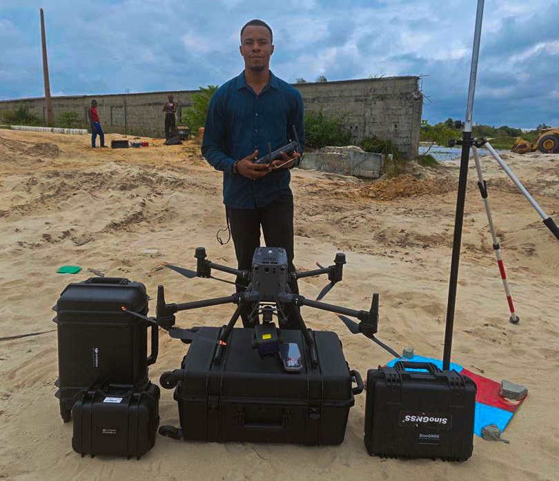
Traditional surveying methods remain important, but covering a large site entirely from the ground can take considerable time and manpower.
A drone gives the surveyor an aerial perspective of the site. Instead of walking across every part of a large area to collect information, the survey team can plan a flight, capture aerial images, and process them into useful geospatial data.
Drone surveying can be useful for:
Topographic surveys
Land and site mapping
Construction monitoring
Quarry surveys
Stockpile volume calculations
Road and corridor mapping
Mining surveys
Agricultural mapping
Infrastructure projects
Large-area site documentation
This is why drones are increasingly becoming part of the modern surveyor's toolkit across Lagos, Abuja, Port Harcourt, Owerri, Umuahia, Enugu, Kano, Kaduna, and other parts of Nigeria.
Stability in the Air Matters
A good surveying drone is not simply one with a powerful camera.
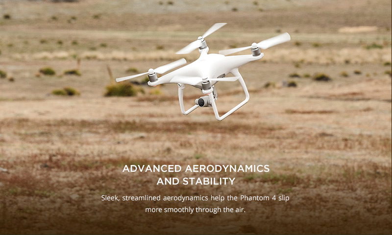
Stability in the air is one of the first things that makes a drone suitable for mapping. A stable drone can maintain its flight path and capture consistent images, which matters when those images are later processed for photogrammetry.
But there is no single “best” surveying drone.
The type of survey you want to carry out determines the type of drone and payload you need.
DJI Mavic 2 Pro
Starting with drone mapping?
If you're new to drone mapping, you don't necessarily need to start with the most expensive enterprise drone.
Older models such as the DJI Mavic 2 Pro and DJI Phantom 4 Pro have been popular options for people starting aerial mapping. However, these models are no longer in production, so finding them in Nigeria today will generally mean looking for used or previously owned units.
For those who want a newer mapping drone, options such as the DJI Mavic 3 Enterprise (M3E) and DJI Matrice 4E are worth considering.
Mavic 3 Enterprise (RTK Drone)
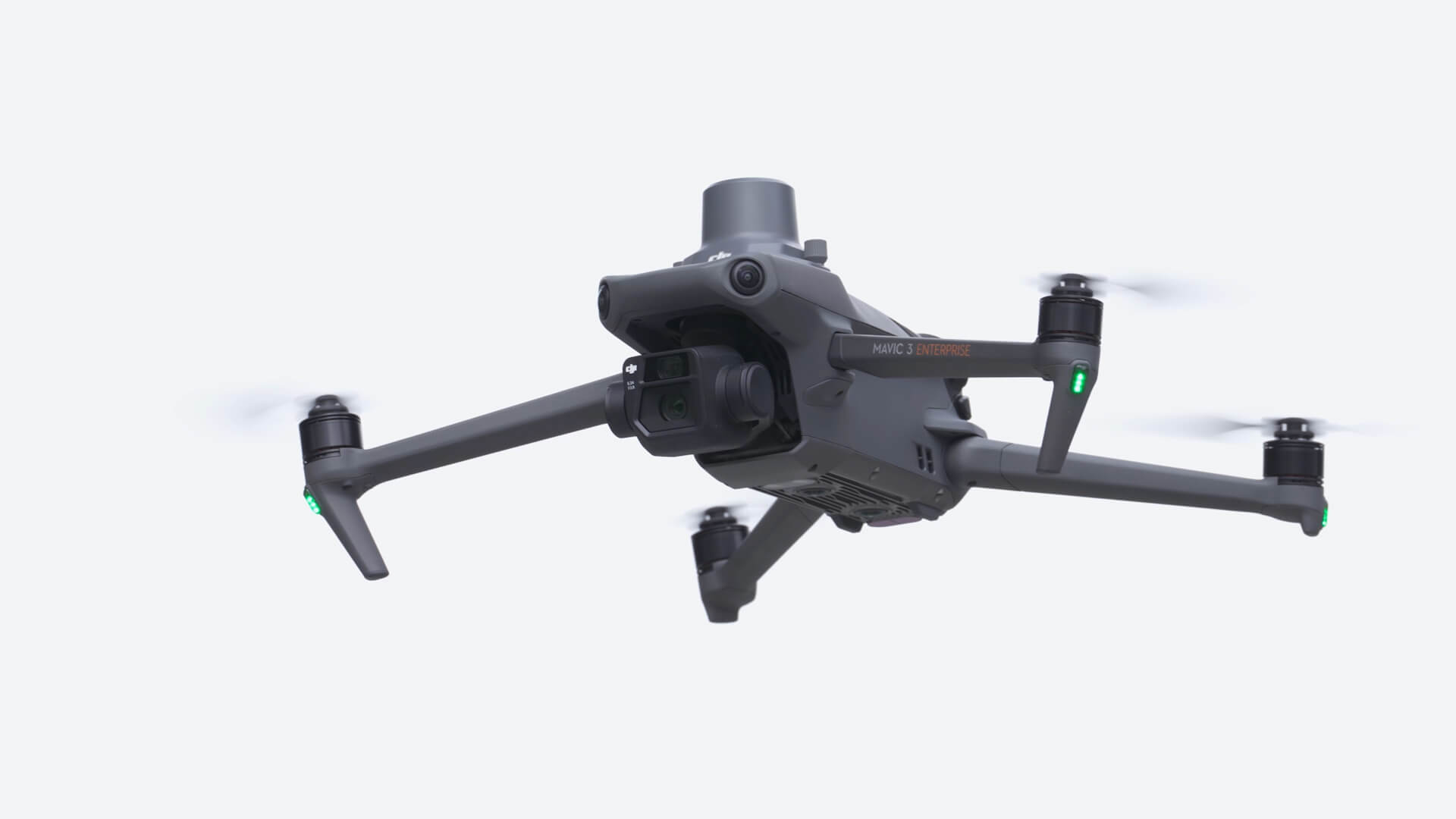
Small mapping drones offer a practical starting point for smaller sites and projects where portability and cost are important.
The DJI Mavic 3 Enterprise is a good example. Its compact design makes it easy to transport between project sites while providing features suited to professional mapping.
The DJI Matrice 4E is another newer option, combining a mapping camera, mechanical shutter, and RTK positioning in a compact enterprise platform.
Whether you're carrying out a small site survey in Lagos, construction monitoring in Abuja, topographic mapping in Abia or Imo, or a quarry survey in Kogi, the project requirements should determine the drone you choose.
RTK vs Non-RTK Drones
Another important factor when buying a drone for surveying in Nigeria is whether you need an RTK drone.
Non-RTK drones can still be used for mapping.
However, where higher positional accuracy is required, surveyors generally establish Ground Control Points (GCPs) using GNSS equipment. These points provide ground-based control for the aerial survey and help improve the positional accuracy of the final mapping outputs.
RTK drones have a high-precision positioning system that improves the drone's positioning during image capture. They can be connected directly to a base station.
As a result, fewer GCPs are generally required. Instead of establishing numerous GCPs for primary control, surveyors can use fewer points, often as checkpoints for independent accuracy verification, depending on the project's requirements.
In simple terms:
Non-RTK → More GCPs for control
RTK → Fewer GCPs, mainly for checking and validation
Popular Drone Brands and Models: When researching where to buy a drone in Nigeria, DJI is one of the most recognized brands you'll encounter.
Popular DJI models for professional applications include
DJI Mavic 3 Enterprise
DJI Matrice 4E
DJI Matrice 350 RTK
DJI Matrice 400
Other professional drone brands include
Wingtra
Autel Robotics
Parrot
SenseFly and
Quantum Systems.
The important thing is not to buy a drone simply because it is popular. Consider the survey type, project size, required accuracy, flight time, payload, and budget.
Where to Buy a Drone in Nigeria. For professional surveying, buying the drone is only the beginning.
OTIC Geosystems provides surveying and mapping equipment to professionals and organizations across Nigeria. But we don't simply sell you a drone and leave you to figure it out yourself.
We train you after purchase.
Our approach is to help clients understand how to operate their equipment and use it effectively for their intended surveying and mapping workflows. This is particularly important for professionals who are new to drone mapping.
From selecting the appropriate drone to understanding flight planning, data capture, and mapping workflows, proper training can make a significant difference in how effectively you use your investment.
So whether you're based in Lagos, Abuja, Port Harcourt, Owerri, Umuahia, Enugu, Kano, Kaduna, Ibadan, Benin City, Uyo, or elsewhere in Nigeria, consider both the equipment and the support that comes with it when choosing where to buy.
Which Drone Should You Buy? Start with the survey, not the drone.
Ask yourself:
What am I surveying?
How large is the area?
What accuracy do I need?
Do I need RTK?
What type of data do I need?
What payload will I need?
What is my budget?
A used DJI Mavic 2 Pro or Phantom 4 Pro may be an option for someone starting, while the DJI Mavic 3 Enterprise and Matrice 4E offer newer solutions for professional mapping.
For larger and more specialized projects, platforms such as the DJI Matrice 350 RTK and Matrice 400 provide greater payload flexibility.
And that brings us to the next part of the series.
Next Episode: Drone Payloads. The drone is the platform, but the payload determines what you can do with it.
In the next episode, we'll discuss RGB cameras, LiDAR, thermal, and multispectral payloads and explain which payload is suitable for different types of surveying and mapping.
Choose the drone based on the survey. Choose the payload based on the data you need.
Contact via call or WhatsApp: +234 904 833 2623
Click here to talk to OTIC Geosystems today.