

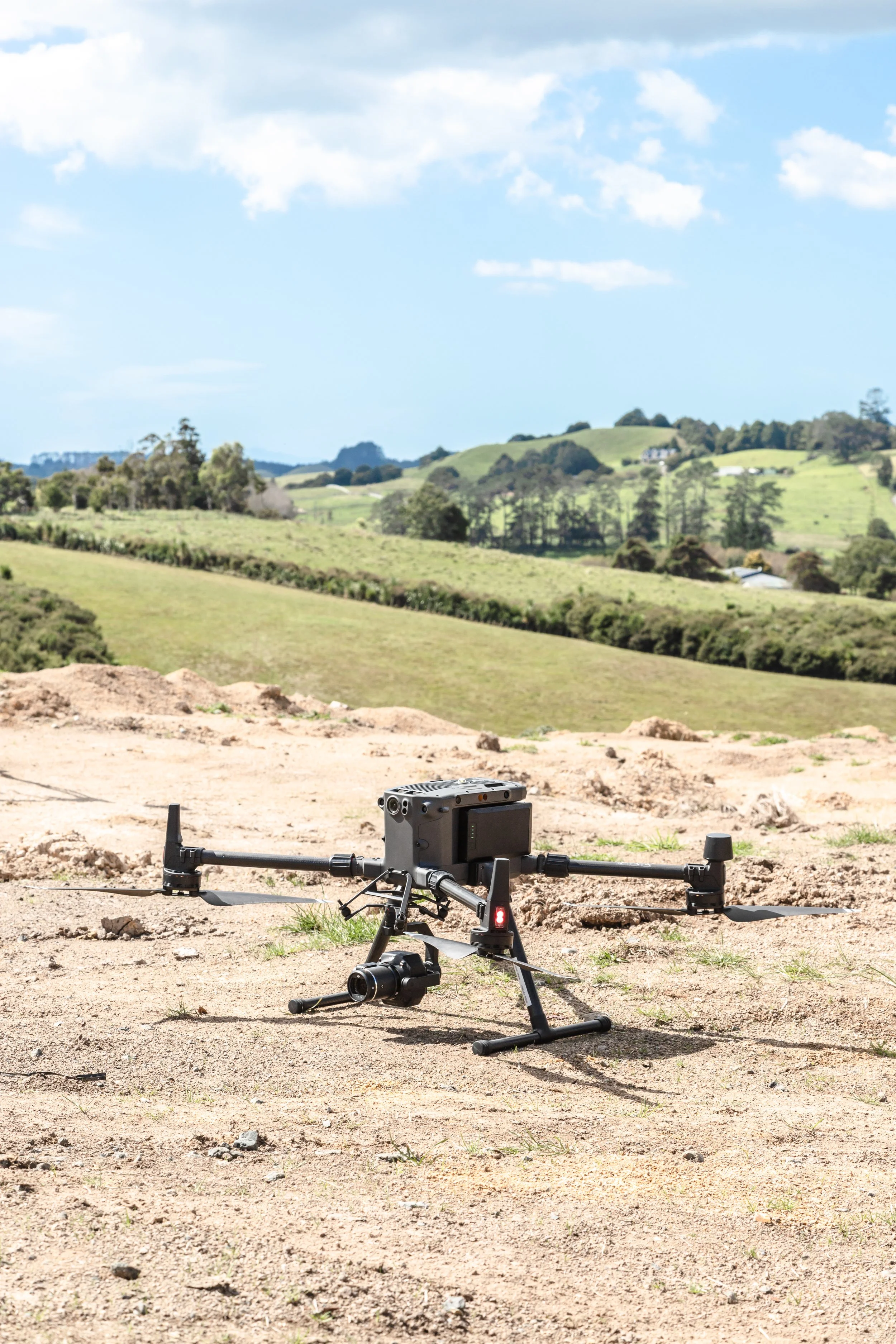
If you're searching for where to buy a drone for surveying, you're probably looking for more than a drone with a good camera. For surveyors, engineers, construction professionals, mining companies, and geospatial teams, the right drone can make aerial data collection faster, easier, and more efficient.
Drones are now used for topographic surveying, land mapping, construction monitoring, mining, quarrying, stockpile measurement, infrastructure projects, and 3D mapping. They can capture aerial imagery that can be processed into orthomosaics, point clouds, 3D models, DSMs, and DEMs. DJI also identifies land surveying, cadastral surveying, urban planning, mining, and construction among drone mapping applications.
Whether you're working in Lagos, Dubai, Abu Dhabi, Johannesburg, London, New York, Washington, D.C., Boston, Toronto, or Atlanta, the principle is the same:
There is no single “best” surveying drone. The type of survey you want to carry out determines the type of drone and payload you need.

Why Do Surveyors Need Drones?
Traditional surveying methods remain important, but large sites can require significant time and manpower to survey entirely from the ground.
A drone gives the surveyor an aerial perspective of the project area. Instead of physically covering every part of a large site, the survey team can plan a flight, capture aerial images, and process them into useful geospatial data.
Drone surveying can be useful for:
Topographic surveys
Land and site mapping
Construction monitoring
Quarry surveys
Stockpile volume calculations
Road and corridor mapping
Mining surveys
Agricultural mapping
Infrastructure projects
Large-area site documentation
For example, a construction company in Dubai may use drone mapping to monitor a large development site, while a mining operation in Johannesburg may need aerial data for stockpile measurements and terrain modelling. A surveyor working in New York or Boston may use drone photogrammetry for site documentation, construction, or land development.
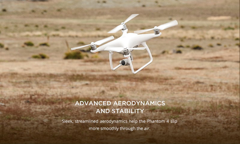
Stability in the Air Matters
A good surveying drone is not simply one with a powerful camera.
Stability in the air is one of the first things that makes a drone suitable for mapping. A stable drone can maintain its flight path and capture consistent images, which is important when those images are later processed for photogrammetry.
But stability is only one part of the equation.
You also need to consider the camera and positioning system, flight time, coverage, software compatibility, payload capacity, and the type of survey you intend to perform.
Starting With Drone Mapping?
If you're new to drone mapping, you don't necessarily have to start with the most expensive enterprise platform.
Older models such as the DJI Mavic 2 Pro and DJI Phantom 4 Pro have been popular options for people starting aerial mapping. However, these models are no longer in production, so finding them today generally means looking for used or previously owned units.
For a newer mapping drone, you can consider options such as the DJI Mavic 3 Enterprise (M3E) and DJI Matrice 4E.
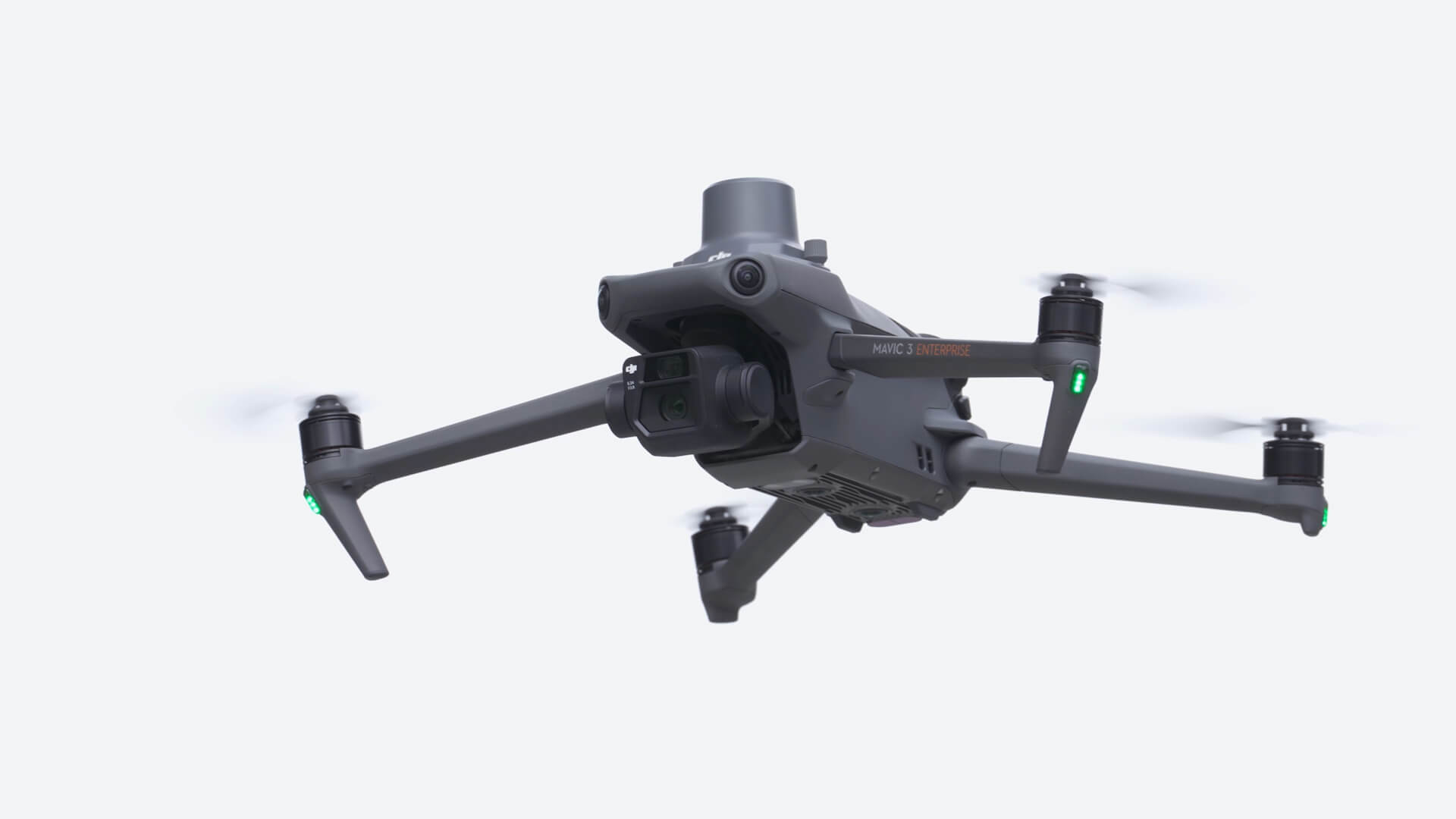
The Mavic 3 Enterprise can be equipped with an RTK module for precision surveying, while DJI positions the Matrice 4E specifically as a portable surveying and mapping platform.
Small Mapping Drones: Small mapping drones can be a practical starting point for smaller sites and projects where portability, ease of use, and cost are important.
The DJI Mavic 3 Enterprise is a good example. Its compact design makes it convenient to transport between project sites while providing features designed for professional mapping.
The DJI Matrice 4E is another newer option, combining a mapping camera, mechanical shutter, and RTK positioning in a compact enterprise platform. DJI states that the Matrice 4E can support centimeter-level data workflows and significantly reduce the need for ground control points when used appropriately.
This makes a compact mapping drone useful for projects ranging from land development in Lagos, construction surveys in Abuja, property development in Dubai, infrastructure work in Abu Dhabi, mining in Johannesburg, and construction projects in Toronto or New York.
RTK vs Non-RTK Drones
One of the biggest decisions when choosing a drone for surveying and mapping is whether you need RTK.
Non-RTK Drones
Non-RTK drones can still be used for professional mapping.
However, where higher positional accuracy is required, surveyors generally establish Ground Control Points (GCPs) using GNSS equipment.
These points provide ground-based control for the aerial survey and help improve the positional accuracy of the final mapping outputs.
RTK Drones
RTK drones have a high-precision positioning system that improves the drone's positioning during image capture.
Depending on the workflow, an RTK drone can receive corrections from a base station or an RTK correction service.
As a result, fewer GCPs are generally required. Instead of establishing numerous GCPs for primary control, surveyors can use fewer points, often as checkpoints for independent accuracy verification, depending on the project's requirements.
In simple terms:
Non-RTK → More GCPs for control
RTK → Fewer GCPs, mainly for checking and validation
The exact control and checkpoint requirements should always be determined by the project's accuracy specifications and survey methodology.
Popular Drone Brands and Models
When researching where to buy a surveying drone, DJI is one of the most recognised names in the industry.
Popular DJI models include:
DJI Mavic 3 Enterprise
DJI Matrice 4E
DJI Matrice 350 RTK
DJI Matrice 400
Other professional drone manufacturers include:
Wingtra
Autel Robotics
Parrot
senseFly
Quantum Systems
For larger mapping projects, the choice can also move beyond the aircraft itself to the payload. DJI's current surveying solutions, for example, include the Matrice 400 with Zenmuse P1 for photogrammetry and Zenmuse L3 for LiDAR mapping.
Dubai and the UAE: A Growing Market for Professional Drones
If you're searching for where to buy a surveying drone in Dubai, don't look only at consumer drone retailers.
The UAE has a strong market for professional surveying, construction, infrastructure, oil and gas, and geospatial technology. Dubai and Abu Dhabi are particularly relevant markets for enterprise drone solutions.
A professional drone supplier should be able to provide more than the aircraft. Look for support covering payloads, software, training, deployment, and technical assistance.
For example, enterprise drone suppliers operating in the UAE market currently offer DJI platforms such as the Matrice 4E and Matrice 400, as well as LiDAR payloads and support services.
This is particularly important for companies working on large construction and infrastructure projects where the drone is part of a wider surveying workflow.
Surveyors and engineering companies in cities such as New York, Washington, D.C., Boston, Philadelphia, Baltimore, Charlotte, and Atlanta may require drones for construction mapping, land development, infrastructure inspection, topographic surveys, and other geospatial applications.
The important thing is to select the aircraft based on the project rather than simply searching for the “best drone.”
A small construction site may only require a compact mapping platform, while a large infrastructure or mining project may require a larger aircraft with a photogrammetry or LiDAR payload.
Professional drone surveying is also relevant in cities such as Toronto, Vancouver, Calgary, Edmonton, and Montreal, where construction, infrastructure, mining, and land development create demand for aerial mapping.
For example, Canadian suppliers currently market the DJI Matrice 4E specifically for surveying, mapping, construction, mining, and professional geospatial workflows.
Similar applications can be found across London, Manchester, Nairobi, Accra, Johannesburg, Cape Town, Dar es Salaam, Riyadh, Doha, Perth, Sydney, and Melbourne.
Where to Buy a Surveying Drone
When buying a professional surveying drone, the seller matters almost as much as the equipment.
OTIC Geosystems provides drones and geospatial equipment for surveying, engineering, construction, mining, and other professional applications.
But we don't simply sell you a drone and leave you to figure everything out yourself.
We train you after purchase.
Our support goes beyond supplying the equipment. We help clients understand their drone, operate it properly, plan mapping missions, capture aerial data, and integrate the equipment into their surveying and mapping workflow.
Whether you're purchasing a drone for a project in Abu Dhabi, Accra, Johannesburg, London, New York, Washington, D.C., Boston, Toronto, or another international market, the right equipment and proper training can make a significant difference to your investment.
Which Drone Should You Buy?
Start with the survey, not the drone.
Before buying, ask:
What am I surveying?
How large is the project area?
What accuracy do I need?
Do I need RTK?
What type of data do I need?
What payload will I need?
What software will I use?
What are the local drone regulations?
What is my budget?
A used DJI Mavic 2 Pro or Phantom 4 Pro may be an option for someone starting, while the DJI Mavic 3 Enterprise and Matrice 4E provide newer compact solutions for professional mapping.
For larger and more specialized projects, platforms such as the DJI Matrice 350 RTK and Matrice 400 offer greater payload flexibility.
The Drone Is Only the Platform
Choosing the aircraft is only the beginning.
The payload determines what you can actually do with the drone.
An RGB camera can support photogrammetric mapping, while LiDAR can be useful for terrain and vegetation mapping. Thermal and multispectral sensors open up completely different applications.
That is why choosing the right payload is just as important as choosing the right drone.
Next Episode: Drone Payloads
In the next episode, we'll discuss RGB cameras, LiDAR, thermal, and multispectral payloads and explain which payload is suitable for different types of surveying and mapping.
Choose the drone based on the survey. Choose the payload based on the data you need.
Ready to Buy a Surveying Drone?
Don't just buy a drone; buy the right drone for the work you want to do.
At OTIC Geosystems, we help you select the right drone for your surveying and mapping requirements, provide the equipment, and train you after purchase so you can get the most from your investment.
Call or WhatsApp: +971 52 622 8783
Looking for where to buy a drone for surveying?
Talk to OTIC Geosystems today: Click here to chat with OTIC Geosystems on WhatsApp