

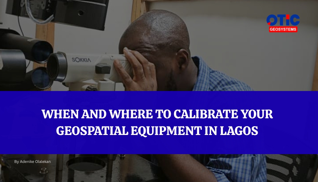
Calibration is not something you do when equipment “fails.”
It is what you do so failure never gets the chance to show itself in your results. Because in geospatial work, failure rarely shows up as total breakdown. It shows up as subtle measurement drift such as small inaccuracies in coordinates, elevations, alignments, or boundaries that still look “acceptable” until they begin to compound into expensive project errors.
This is why calibration is not maintenance in the casual sense. It is control. It is the act of bringing your equipment back to truth before your project drifts away from it. This guide explains when to calibrate your geospatial equipment, the warning signs to watch for, and the most reliable place to calibrate surveying equipment in Lagos.
WHEN TO CALIBRATE YOUR GEOSPATIAL EQUIPMENT
1. After extended field use Continuous deployment naturally introduces small performance shifts, even when your GNSS, total station, or leveling instruments appear stable
2. After transportation between sites If your equipment has been moved between sites, vibration and handling can affect internal alignment.
3. When readings show small inconsistencies Not obvious failures but slight differences in repeated measurements under the same conditions. This is often the earliest sign that you need calibration.
4. Before high-precision or high-value projects The higher the project stakes, the lower your tolerance for hidden error. For construction, infrastructure, or boundary-sensitive projects, calibration before surveying projects ensures you are working with trusted accuracy from the start.
5. After software or firmware updates Modern geospatial instruments depend on integrated systems. Updates can subtly change data interpretation and require recalibration.
6. As part of routine preventive maintenance Even if nothing seems wrong, scheduled calibration ensures your equipment stays within manufacturer accuracy standards.
WHERE TO CALIBRATE YOUR EQUIPMENT IN LAGOS
Geospatial equipment is not something you hand over anywhere for “quick fixing.” These are precision instruments that determine boundaries, elevations, alignments, and ultimately, the success or failure of entire projects.
That level of responsibility demands more than basic servicing, it demands technical expertise, proper calibration standards, and the right environment.
This is why professionals consistently rely on OTIC Geosystems.
At OTIC Geosystems, calibration is treated as precision work. Every instrument is assessed, adjusted, and verified using proper geospatial standards to ensure it delivers reliable, field-ready accuracy. It’s not just about making equipment work again, it’s about restoring confidence in every reading it produces.
OTIC Geosystems is located at 3, Bello Close, Chevy view estate, Chevron Drive, Lekki - Epe Expressway, Eti-Osa, Lagos 101245.