SinoGNSS T20 Palm RTK in Nigeria: Specs, Real-World Uses and Where to Buy
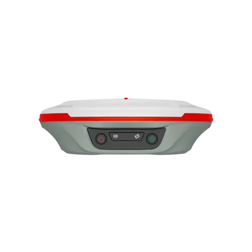
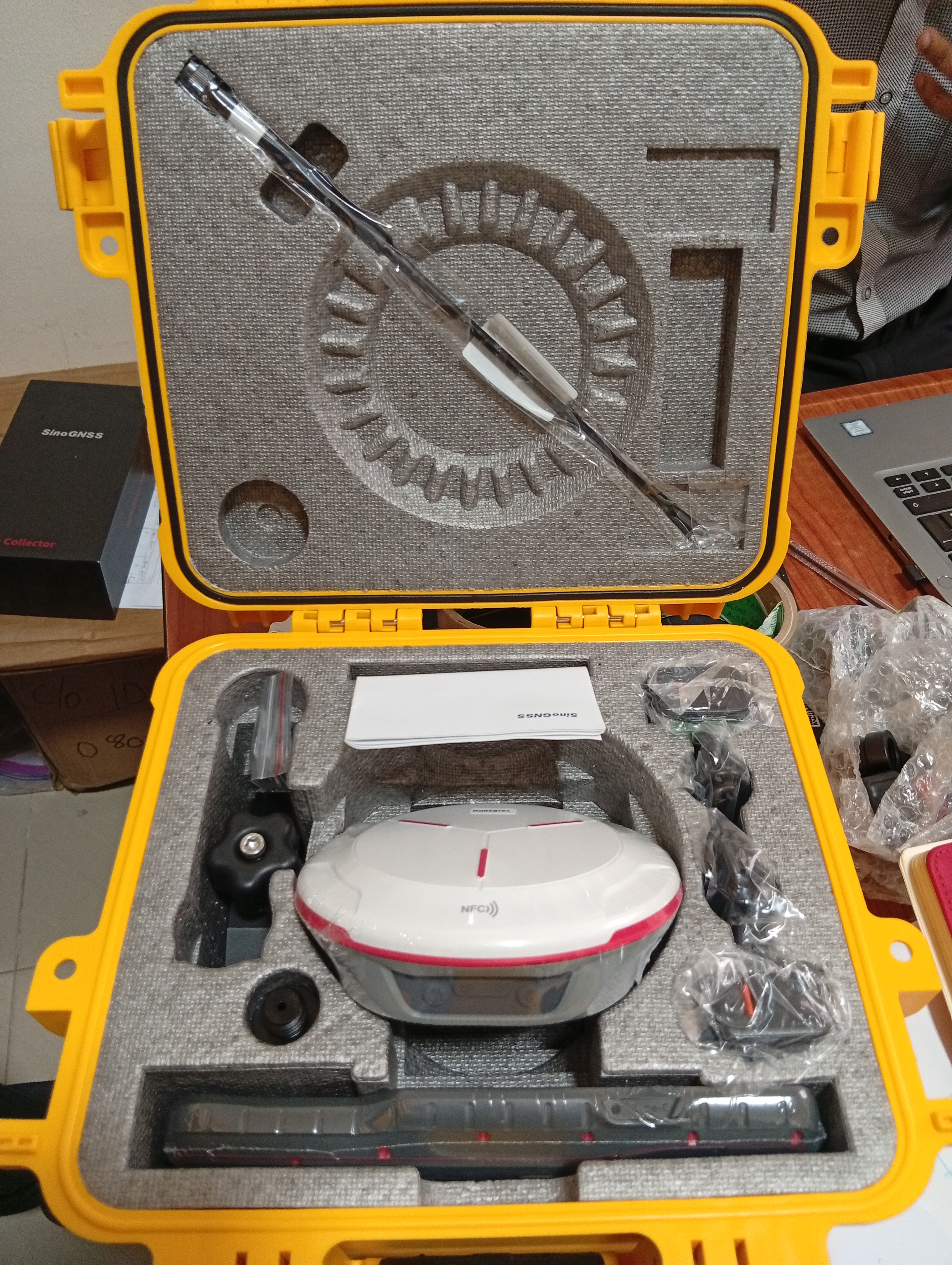
Most surveyors have carried a GNSS rover that felt like a second job to haul around. The SinoGNSS T20 was built to end that complaint. Released by ComNav Technology in 2023, it weighs 0.68 kg and is only 48 mm thick, small enough to hold like a paperback. Do not let the size fool you, though. Inside is the same SinoGNSS K8 high-precision module and third-generation inertial measurement unit (IMU) that ComNav uses to power its more demanding receivers.
What the T20 Actually Does
Tracks everything in the sky. With 1,590 channels, the T20 follows GPS, BeiDou, GLONASS, Galileo, QZSS, IRNSS and SBAS signals across multiple frequencies. More satellites and more frequencies mean a steadier fix near buildings, under trees and in difficult weather.
Fixes fast. RTK initialisation takes under 10 seconds, which adds up to real time saved over a day of stakeout or boundary pickup.
Measures without levelling. The built-in IMU supports tilt compensation up to 60°, with accuracy of around 2.5 cm. A surveyor can tilt the pole to reach the base of a wall, a fence corner or a pillar and still record a usable point, with no bubble check. ComNav also states that the system is unaffected by magnetic interference.
Works as base or rover. An internal datalink module lets the T20 switch roles. Its UHF radio covers 410 to 470 MHz with adjustable power up to 2 W, with a working range of 2 to 5 km under ideal conditions. For network RTK, it carries a 4G modem and accepts correction data in the common RTCM and CMR formats.
Specifications at a Glance
Feature | T20 Palm RTK |
Channels | 1,590 |
RTK accuracy | 8 mm + 1 ppm (horizontal), 15 mm + 1 ppm (vertical) |
Static accuracy | 2.5 mm + 0.5 ppm (horizontal), 5 mm + 0.5 ppm (vertical) |
Initialisation | Under 10 seconds |
Tilt survey | Up to 60°, ~2.5 cm |
Update rate | Up to 10 Hz |
Internal memory | 8 GB (16 GB and 32 GB optional) |
Battery | 12+ hours continuous (10,000 mAh) |
Weight/thickness | 0.68 kg / 48 mm |
Housing | Magnesium-aluminium alloy, IP67 |
Durability | Survives a 2 m drop onto concrete |
Operating temperature | -30°C to +65°C |
Connectivity | Bluetooth 5.0, NFC, 4G, UHF datalink, USB-C |
Software | Survey Master (Android); FieldGenius optional |
The recommended partner device is the ComNav R60 data collector: a 5.5-inch sunlight-readable screen, Android 12, NFC pairing with a single tap, and a battery rated for 30+ hours.
One Receiver, Many Industries
Cadastral and land survey. Boundary corners hidden behind fences or walls are exactly where tilt measurement earns its keep. Faster fixes also mean more plots surveyed per day, and cleaner data behind every survey plan.
Road and building construction. Survey Master can import CAD drawings and use them directly for stakeout, so an engineer can set out a centreline or a column grid straight from the design file.
Oil and gas and pipeline routes. A light receiver with strong signal tracking helps crews working long, rough corridors, and the 4G modem connects to CORS corrections wherever there is network coverage.
Marine and GIS. ComNav designs the T20 for marine, GIS, precision agriculture and machine control, as well as land survey, so one receiver can serve several departments.
On the network side, the T20 connects to OTIC's CORS network, now 35 stations across Nigeria, giving field crews RTK corrections without setting up a base of their own.
A Rover for Every Surveyor in Nigeria
Price should not be the thing that keeps a good surveyor on an outdated receiver. That is the thinking behind OTIC's ongoing "A Rover for Every Surveyor in Nigeria" promotion, which puts the T20 within reach through a flexible payment plan:
Start with a deposit of ₦500. Pay it, and the equipment is delivered to you immediately.
Spread the balance over 12 to 15 months. No need to find the full amount upfront.
Salary earners can pay monthly. Instalments can be matched to your pay cycle.
Open to everyone. The package covers individual surveyors and corporate companies alike.
For a young surveyor building a practice, or a firm equipping a new field team, it means a modern RTK rover can start earning its keep from the first week, while the cost is settled gradually. Ask OTIC for the current terms when you enquire.
Why OTIC Geosystems
Buying a receiver is the easy part. Keeping it accurate, supported and calibrated for years is what separates a good purchase from a regretted one. OTIC Geosystems, based in Lekki, Lagos, is Nigeria's ComNav partner and the home of SinoGNSS equipment in the country. Its customers include surveyors, engineers, construction professionals and agribusinesses, and it does more than sell boxes: it also handles rentals, calibration, repairs and hands-on professional training, so your crew knows how to get centimetre-level results from the receiver on day one.
Add the 35-station OTIC CORS network, and a T20 bought from OTIC arrives with the hardware, the corrections and the support behind it, all under one roof.
To see the T20 and the wider SinoGNSS range, visit www.oticgs.com or call/chat Daniel: 08085040541.