

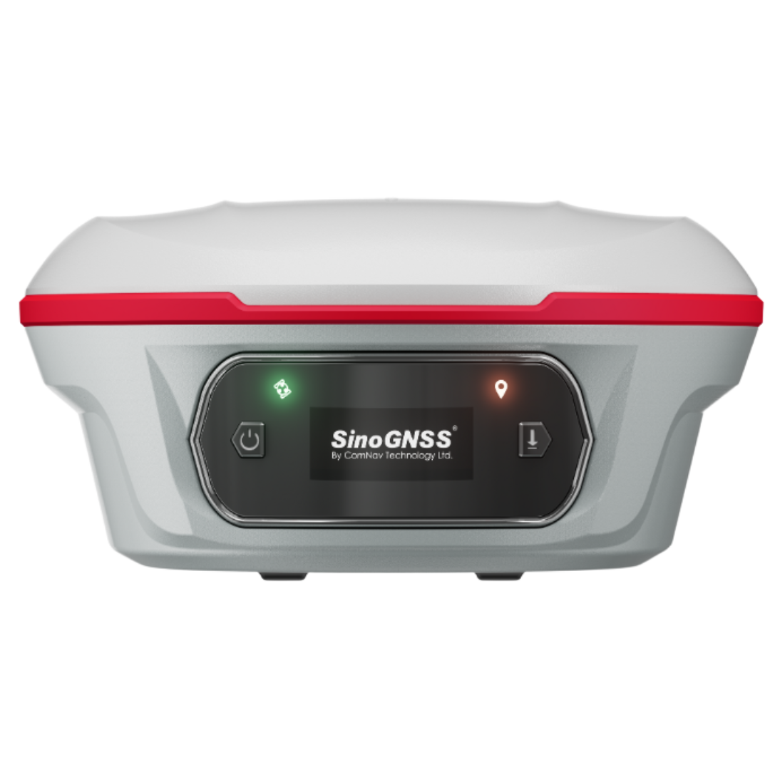
Can your GNSS receiver measure beyond line-of-sight or stake out under a heavy canopy without reoccupying points? That’s the question the SinoGNSS Jupiter Laser RTK set out to answer during our field tests in Lagos State. As GNSS technology continues to evolve, surveyors in Nigeria face significant challenges in tough terrain, including dense vegetation, limited satellite visibility, and unpredictable weather. The Jupiter Laser RTK bridges those gaps with laser-assisted measurements, dual-camera visual stakeout, and auto-calibrating IMU tilt technology. We spent days comparing it side-by-side with other GNSS receivers, running CORS-based RTK sessions and laser offset tests in both urban and semi-bushy environments. Here’s what we found.
1 BUILD QUALITY AND DESIGN: The Jupiter follows SinoGNSS’s new Universe Series design with a durable aluminum-magnesium body, compact 810 g weight, and a bright 1.1-inch OLED screen for quick setup even under sunlight. Its IP67 rating and -40°C to +65°C range make it ideal for Nigeria’s humid and dusty field conditions.
2 PERFORMANCE SPECIFICATIONS IN REAL FIELD CONDITIONS: In typical Nigerian site conditions (urban, semi-bushy, and coastal), Jupiter held fixed RTK faster and maintained longer radio stability, particularly under multipath interference near power lines.
3 LASER & VISUAL STAKEOUT, THE TRUE GAME CHANGER: Traditional RTK struggles when the survey pole can’t reach a point, like drainage channels, walls, or water surfaces. The green laser and dual-camera visual stakeout system on Jupiter solves this efficiently. Our test setup:
- Targeted 10 drainage manholes obstructed by parked vehicles and vegetation.
- Laser stakeout from 20–40m away.
Compared distance offset vs measured point Result: The dual 2MP cameras allowed operators to see target points clearly on the Survey Master app, even under glare. Educational note: Laser-assisted stakeout eliminates reoccupation, minimizes safety risks near roads or canals, and cuts total stakeout time by ~40%.
4 CONNECTIVITY AND COMPATIBILITY: The Jupiter Laser RTK includes:
Full-frequency datalink, supporting Transparent, TT450S, South, Mac, SNLonglink.
Wi-Fi (5GHz), Bluetooth 4.0, and Type-C interface.
Seamless link with Survey Master, FieldGenius, and ComNav Compass software.
In our Lagos test, it connected instantly to the OTIC CORS network over NTRIP, and we achieved stable correction streams via MT6000 modem and mobile tethering. This makes it ideal for firms moving from traditional UHF base setups to CORS subscription workflows, an emerging trend in Nigeria.
5 DATA INTEGRATION & WORKFLOW BENEFITS: Survey Master software supports:
- CAD & DXF import for direct stakeout
- Export formats (SHP, KML, GPX) for GIS mapping
- Cloud sync and remote assistance, perfect for multi-crew coordination
6 LOCAL VALUE: WHY IT MATTERS FOR NIGERIAN SURVEYORS:
- Uninterrupted accuracy under high humidity and heat.
- Laser stakeout saves labor in areas where clearing or reoccupation is costly.
- Compatible with any CORS network for real-time positioning.
- Lower total cost of ownership with local calibration, service, and warranty from OTIC Geosystems.
- If you are looking for an upgrade, then the SinoGNSS Jupiter is for you. It's not just an upgrade; it’s a productivity multiplier.
Ready to experience the future of surveying? Book a live field demo with us via +2347061769934 or to get your SinoGNSS Jupiter Laser RTK with local warranty, training, and CORS access included.