
Surveyors in Cotonou, Your GNSS Surveying Just Got More Convenient!
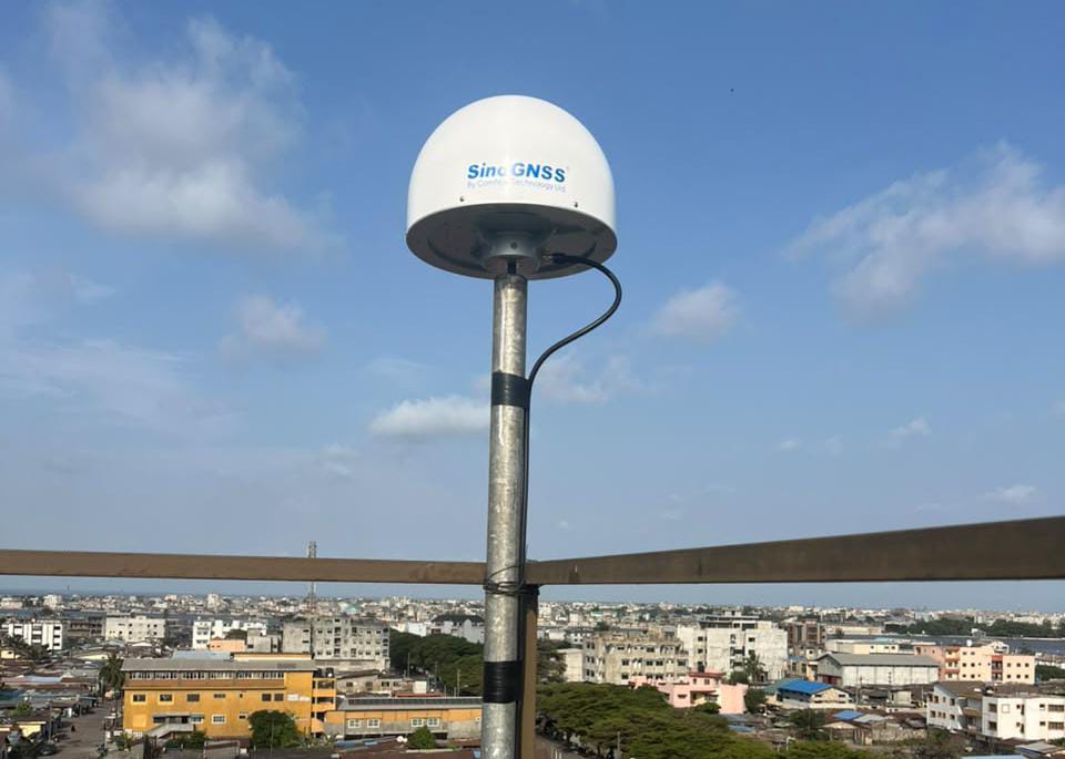
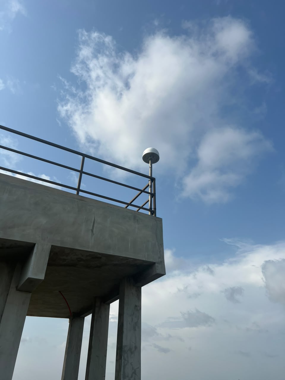
We have exciting news for surveyors and geospatial professionals in Benin Republic! OTIC GEOSYSTEMS has successfully installed a new SinoGNSS CORS (Continuously Operating Reference Station) in Cotonou, Benin Republic!
What does this mean for you as a surveyor?
If you regularly work on land surveys, road construction, estate development, topographic mapping, or large engineering projects, you probably understand how important it is to have reliable GNSS correction data.
Traditionally, you may need to purchase a GNSS base and rover set, transport both receivers to your project site, establish your base station, configure your equipment, and then begin surveying.
But what if you could simply take your GNSS rover to the field, connect to a nearby CORS network and start working?
That is exactly the convenience OTIC's CORS network is designed to provide!
What Is CORS and How Does It Work?
A CORS is a permanently installed GNSS reference station that continuously tracks satellite signals and provides correction data to GNSS rovers.
Think of it this way; instead of carrying your own base station to every project location, you can connect your rover to an existing reference station through an internet connection.
With OTIC CORS in Cotonou, surveyors within the supported coverage area can access RTK correction services using NTRIP technology.
Simply configure your GNSS rover with the appropriate server address, port, username, password and mountpoint, connect to the internet and receive correction data.
Once connected and an RTK FIX solution is achieved, you can begin collecting survey points.
Does OTIC CORS Accept Other GNSS Brands?
Absolutely! One of the major advantages of OTIC CORS is its use of standard NTRIP connectivity and RTCM correction formats.
This means you do not necessarily have to own a SinoGNSS rover to benefit from the network. GNSS receivers from different manufacturers can connect, provided they support the NTRIP and RTCM configurations.
Examples of Gnss brands that can connect to OTIC CORS include; SinoGNSS, Leica, Trimble, Topcon, Sokkia, FOIF, CHCNAV, Hi-Target, South, Stonex, Emlid e.t.c.
Already using a Leica, Trimble, Topcon, FOIF or any brand of GNSS receiver? You can connect your existing equipment to OTIC CORS without purchasing an entirely new base and rover set.
Why Should Surveyors in Benin Republic Consider CORS for Large Projects?
Imagine you have been awarded a road construction project covering several kilometres around Cotonou. Rather than repeatedly setting up and managing your own base station, your field team could use a Gnss rover connected to OTIC CORS, provided the project falls within reliable network coverage Or perhaps you are surveying a large residential estate with hundreds of plots. Your team can use multiple Gnss rovers to collect coordinates using the available correction service.
Some important benefits include:
1. Reduced Equipment Costs: You may not need to purchase a separate GNSS base station if an existing CORS service meets your project requirements.
2. Easy to Use: Once configured, connecting your rover through NTRIP is a straightforward process.
3. Less Equipment to Transport: Your field team can work with a rover and controller instead of carrying a complete base-and-rover setup.
4. Multi-Brand Compatibility: Use supported GNSS receivers from different manufacturers.
5. Improved Field Productivity: Reduce the time spent establishing temporary base stations and concentrate on collecting survey data.
6. Convenient for Multiple Projects: Access the correction service wherever reliable CORS coverage and internet connectivity are available.
Surveyors in Benin Republic, We want to Hear From You!
If you were awarded a large surveying project today, which option would you prefer?
Tell us:
Using your existing GNSS rover connected to OTIC CORS?
Purchasing a complete GNSS base and rover set?
Establishing and operating your own CORS base station. And which GNSS brand are you currently using?
Share your experience with OTIC GEOSYSTEMS!
Your feedback matters to us! We want to continue improving access to reliable and affordable GNSS correction services for surveyors across Benin Republic.
Interested in connecting to OTIC CORS or purchasing your own GNSS receiver or CORS reference station?
Get in touch with OTIC GEOSYSTEMS today!
WhatsApp: +971 52 622 8783
Email: info@oticgs.com