
Infrastructure Starts With Accurate Spatial Data
Before a road is constructed, a bridge is positioned or a new development takes shape, professionals need to understand the land beneath and around the project.
That is where modern surveying equipment becomes essential.
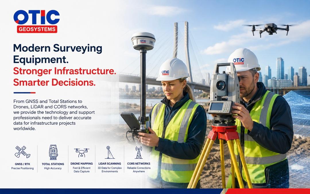
From GNSS receivers and total stations to drones, LiDAR and CORS networks, today’s technologies help surveyors collect accurate spatial information for planning, construction and infrastructure management across different environments and continents.
The Right Equipment for the Right Task
No single surveying technology does everything.
RTK GNSS provides precise positioning and is widely used for topographic surveys, control establishment, mapping and construction setting-out. Handheld GPS on the other hand is ideal for navigation, reconnaissance and general location mapping, while survey-grade GNSS is built for centimeter-level positioning using correction services such as RTK/CORS/NTRIP. They are not interchangeable: handheld GPS is insufficient for high-precision tasks like cadastral surveys, control establishment and construction setting-out, while GNSS is often unnecessary for simple navigation and location tasks.
Total stations remain valuable where high local precision is required or satellite visibility is limited, particularly around buildings, structures and construction sites.
Drones allow survey teams to capture large areas efficiently, supporting topographic mapping, orthophotos, stockpile measurements and construction progress monitoring.
LiDAR adds dense three-dimensional information and can be particularly useful for complex terrain, corridors, urban environments and infrastructure mapping.
Meanwhile, CORS networks and NTRIP correction services can provide network-based GNSS corrections, helping compatible RTK rovers achieve precise positioning without necessarily requiring a temporary base station for every project.
More Than Accuracy
Choosing surveying equipment should not be based on accuracy specifications alone.
Survey professionals should also consider:
i. Project requirements and tolerances
ii. Site conditions
iii. Coverage and productivity
iv. Data compatibility
v. Connectivity
vi. Equipment reliability
vii. Training and technical support
viii. Long-term scalability
The objective is to select technology that fits the entire surveying workflow, rather than simply choosing the most advanced instrument.
Building a Connected Survey Workflow
Modern infrastructure projects increasingly combine several technologies.
A typical workflow may involve:
GNSS/CORS → Ground Control → Drone Mapping → Total Station/LiDAR → Data Processing → CAD/GIS → Infrastructure Management
Each technology contributes different information, while the combined workflow creates a more complete picture of the project.
This is particularly important as infrastructure becomes increasingly data-driven through GIS, BIM, digital twins and asset-management systems.
The Future of Infrastructure Surveying
The future of surveying is not simply about collecting more points or using newer instruments.
It is about collecting reliable spatial data efficiently and turning that data into information that engineers, planners, contractors and decision-makers can use.
Whether it is a highway in Africa, a railway in Asia, an urban development in the Middle East or a bridge in Europe, the principle remains the same:
Better spatial data supports better infrastructure decisions.
The right combination of GNSS, RTK, CORS, total stations, drones and LiDAR, supported by skilled professionals and sound field procedures, can help make those decisions more accurate, efficient and defensible.