

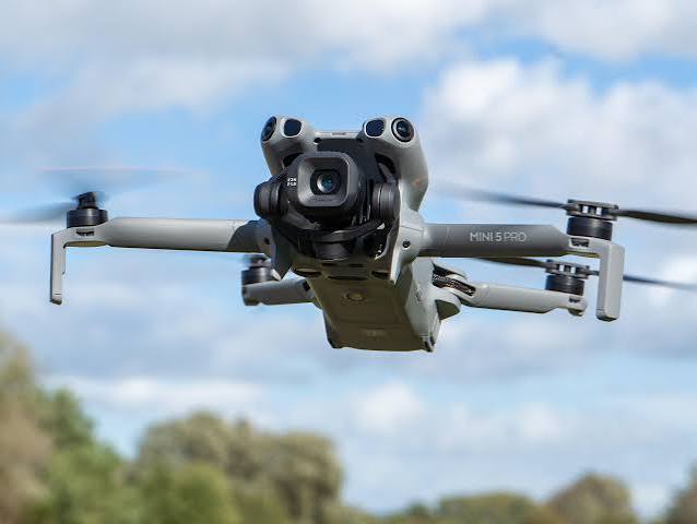
For UAE surveyors, learning to operate DJI survey drones and understanding their different capabilities can provide valuable skills for careers in aerial mapping, photogrammetry, topographic surveying and infrastructure inspection. Here are types of DJI Drones;
DJI Mavic 3 Enterprise: Portable Mapping for Surveyors
The DJI Mavic 3 Enterprise is a compact professional drone designed for mapping and data-collection applications. When equipped with the RTK module, it supports centimeter-level positioning and can use network RTK or a D-RTK 2 Mobile Station for high-precision operations.
For UAE surveyors, the Mavic 3 Enterprise can be useful for construction sites, land surveys, stockpile measurements, progress monitoring and smaller mapping projects where portability and fast deployment are important.
DJI Matrice 350 RTK: Advanced Surveying and Mapping
The DJI Matrice 350 RTK is designed for more demanding professional operations. It supports multiple payload configurations and can be equipped with surveying sensors such as the Zenmuse P1 and Zenmuse L2. DJI states that the platform can support precision surveying with these payloads.
For large construction, infrastructure and engineering projects in Dubai and Abu Dhabi, learning the DJI Matrice 350 RTK can help surveyors develop experience with advanced aerial data acquisition.
DJI Zenmuse P1: Photogrammetry for High-Precision Mapping
The DJI Zenmuse P1 is a full-frame photogrammetry camera designed specifically for aerial surveying and mapping. It features a 45 MP full-frame sensor and supports applications including orthomosaic production, 3D modelling and detailed mapping. DJI lists an absolute accuracy specification of 3 cm horizontally and 5 cm vertically under stated test conditions.
For UAE surveyors, learning DJI P1 photogrammetry can be valuable for topographic mapping, construction documentation, land development and 3D site modelling.
DJI Zenmuse L2: LiDAR Surveying and 3D Mapping
The Zenmuse L2 provides an alternative approach to aerial surveying using LiDAR, an IMU and an RGB mapping camera. It is designed for applications including topographic surveying, forestry, power-line modelling and other geospatial work. DJI reports 5 cm horizontal and 4 cm vertical surveying and mapping accuracy under specified test conditions.
Learning DJI LiDAR surveying with the Zenmuse L2 can give UAE surveyors additional skills for projects involving terrain, vegetation, infrastructure and complex environments.
Why DJI Drone Survey Skills Matter for UAE Jobs
Modern surveyors increasingly need more than traditional total-station and GNSS knowledge. Combining DJI drone mapping, RTK, photogrammetry, LiDAR, GNSS and survey data processing can create a broader technical skill set.
UAE surveyors who understand flight planning, ground control, RTK positioning, image acquisition, point-cloud processing, orthomosaics, digital elevation models and 3D modelling can demonstrate practical knowledge relevant to modern surveying workflows.
Training across different DJI survey drones can therefore help professionals become more versatile when applying for surveying, mapping, construction and geospatial roles across Dubai, Abu Dhabi and the wider UAE.
Build Your DJI Surveying Skills
Whether using the portable DJI Mavic 3 Enterprise, the professional Matrice 350 RTK, the Zenmuse P1 for photogrammetry or the Zenmuse L2 for LiDAR, each technology offers different capabilities for modern surveying.
For UAE surveyors, developing practical drone-surveying skills alongside GNSS, RTK and conventional surveying expertise can strengthen technical knowledge and expand career opportunities.
Learn the drone. Master the data. Build the surveying skills UAE projects demand.