

Drone mapping is one of the fastest-growing skills in the geospatial industry today.
From land surveying and construction to agriculture and infrastructure development, organizations are increasingly relying on drones to collect accurate data faster and more efficiently than traditional methods.
But here's what many people discover after buying a drone:
Knowing how to fly a drone is not the same as knowing how to carry out a professional drone mapping project.
Questions like:
- Which drone should you use for a particular project?
- When should you use RTK?
- How do you achieve accurate results?
- How do you process drone data correctly?
- What deliverables do clients actually need?
These are the questions that separate drone operators from drone mapping professionals.
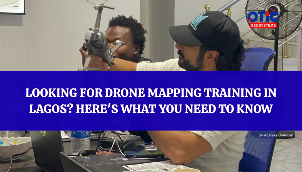
That's why OTIC Geosystems is hosting Drone Mapping Training 3.0. It’s a practical, hands-on training designed to help participants understand the complete drone mapping workflow, from mission planning to final deliverables.
What You'll Learn
- Mission Planning and Flight Safety
- RTK and Non-RTK Flight Operations
- Precision Drone Mapping Workflows
- Data Processing and Deliverables
- Aerial Photography and Videography
- Introduction to LiDAR Mapping
More importantly, you'll learn practical techniques, industry best practices, and real-world workflows used by professionals on actual projects.
Who Should Attend?
This training is ideal for:
- Surveyors
- GIS Professionals
- Engineers
- Drone Pilots
- Students
- Geospatial Enthusiasts
Training Details
📅 July 16th – 17th, 2026
📍Chevron, Lekki, Lagos
If you've been searching for drone mapping training in Lagos, drone survey training in Nigeria, or a practical way to learn professional drone mapping, this training is for you.
Seats are limited. Register today and take the next step toward becoming a skilled drone mapping professional.