

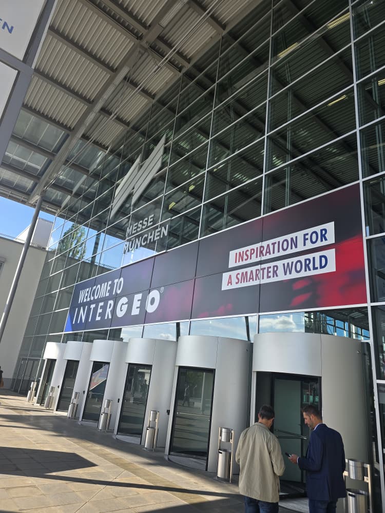
What happens when thousands of geospatial professionals, surveyors, engineers and technology companies from around the world come together in one place? INTERGEO 2026 in Munich, Germany.
INTERGEO, held from 15–17 September 2026, brought together more than 530 exhibitors and 18,500 visitors from 119 countries, making it a major meeting point for the global geodesy around GNSS, LiDAR, drones, GIS, geoinformation, land management industry and other emerging technologies.
For OTIC GEOSYSTEMS, attending INTERGEO 2026 was more than simply visiting an exhibition. It was an opportunity to see where the surveying and geospatial industry is heading than seeing new equipment and, most importantly, to connect with people, different brands, technology companies, surveyors and industry professionals from across the globe making that future possible.
A Meeting Point for Modern Surveying Technology
Walking through the exhibition halls at INTERGEO 2026, it was clear that modern surveying is rapidly changing.
Companies such as ComNav Technology, Leica, RIEGL, DJI, FARO, NovAtel, Septentrio and many others showcased technologies designed to make field data collection faster and more intelligent from GNSS receivers and total stations to drones, LiDAR scanners, SLAM, mobile mapping, monitoring systems, 3D reality capture and many more. The official INTERGEO exhibitor information highlights areas such as 3D city models, BIM, mobile mapping, geodata management, extended reality and unmanned systems.
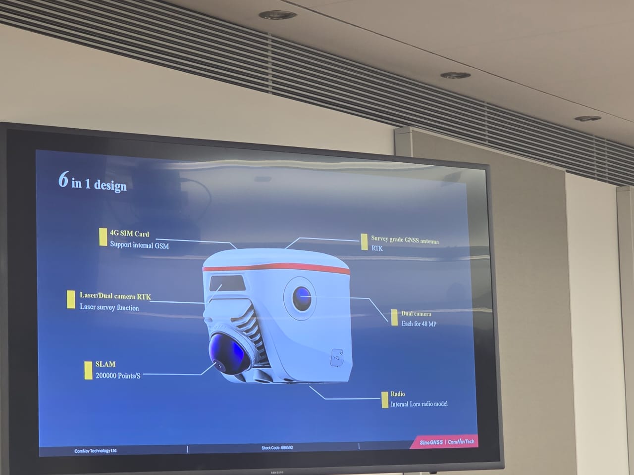
For example, ComNav Technology demonstrated how mobile mapping, laser scanning and imaging can turn physical environments into point clouds and 3D models.
For OTIC GEOSYSTEMS, these demonstrations created opportunities to ask an important question:
How can we bring these technologies closer to surveyors in Africa and other developing markets?
ComNav Technology: A Major Highlight
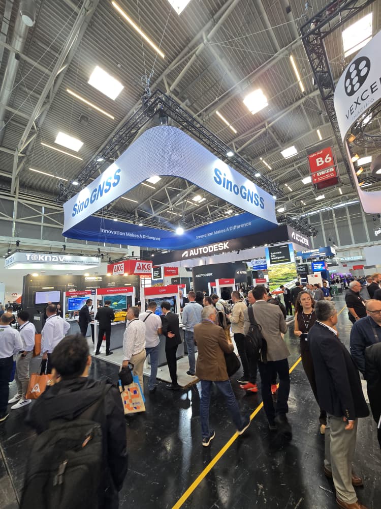
One of the most exciting parts for OTIC GEOSYSTEMS was seeing our partner, ComNav Technology, making a strong presence at INTERGEO 2026.
At Booth B6D022, ComNav Technology showcased its latest SINOGNSS, Laser RTK, 3D laser scanning, monitoring and unmanned survey solutions.
One technology that attracted significant attention was the Laser RTK. ComNav Technology presented its established Jupiter Laser RTK solutions alongside the newer Mercury Laser RTK, which combines GNSS, IMU and laser measurement to help surveyors capture difficult-to-reach points from a distance.
Think about surveying a point obstructed by a wall, fence or physical barrier. Instead of always needing to place the pole directly on the point, laser-based positioning technology can provide another way to approach the measurement.
ComNav Technology also showcased LS600, combining SLAM, LiDAR, RTK and software for 3D mapping and reality capture. Its portfolio at INTERGEO also included the SAR5000 slope-stability monitoring radar and the SV300 unmanned surface vessel, showing how positioning technology is expanding beyond traditional land surveying.
For OTIC GEOSYSTEMS, seeing these technologies firsthand reinforced something important: the future of surveying is not just GNSS, it is the integration of positioning, sensing, automation and data.
OTIC’s Experience at INTERGEO 2026
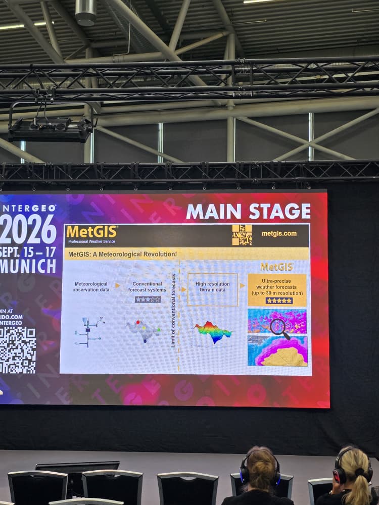
For OTIC GEOSYSTEMS, one of the biggest benefits at INTERGEO 2026 was the opportunity to connect with different brands and professionals from around the world.
We had the opportunity to meet different companies, technology providers and professionals from across the global geospatial industry. Conversations went beyond products.
We discussed questions like:
What are surveyors struggling with in different countries?
Which technologies are becoming more important?
How can equipment be made more affordable?
What does the future of GNSS, drones, LiDAR and reality capture look like?
These conversations gave OTIC a broader understanding of what professionals actually need in the industry and opened the door to potential relationships and collaborations with brands and professionals across different markets not simply what looks impressive in an exhibition hall.
A surveyor working in Ghana may face completely different challenges from one working in the UAE.
A professional in Angola may have different equipment requirements from someone working in Australia.
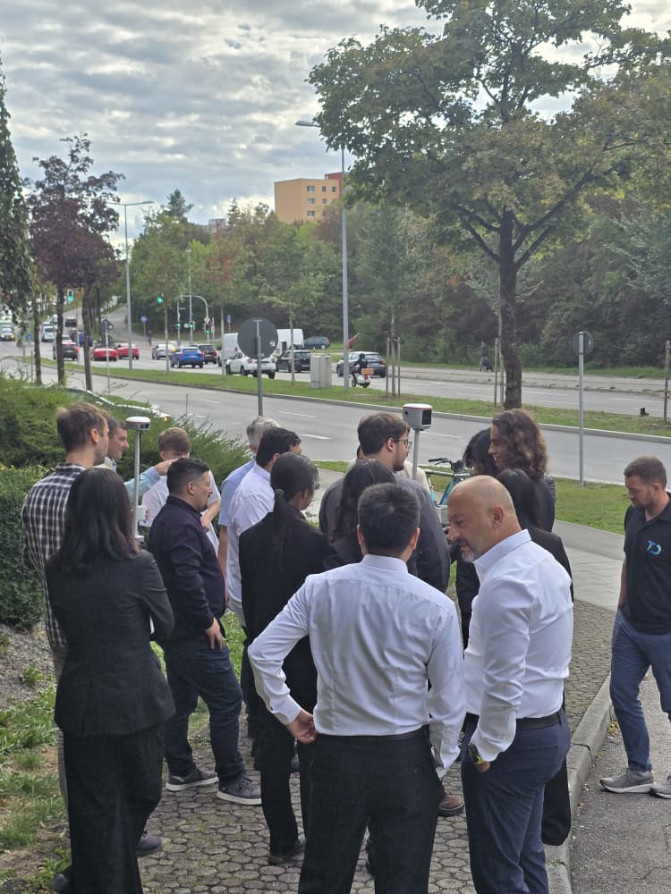
Technology Is Great But People Make the Difference
One thing INTERGEO 2026 reminded us of is that technology alone does not solve every surveying problem.
A GNSS receiver may be highly accurate, but surveyors still need training.
A drone may capture incredible aerial data, but someone needs to understand flight planning and processing.
A LiDAR scanner may collect millions of points, but professionals need the skills to turn those point clouds into useful information.
That is why events like INTERGEO 2026 matter. They bring the technology and the people together.
Now We Want to Hear From You
If you attended INTERGEO 2026, we would love to hear about your experience.
What technology impressed you the most?
Which company or product caught your attention?
Did you discover something completely new?
Did you make useful connections?
And the big question:
Would you attend INTERGEO 2027?
Tell us your country, your favourite technology from INTERGEO 2026, your biggest takeaway, and whether you would attend INTERGEO 2027.
At OTIC GEOSYSTEMS, we believe that the future of surveying is built through technology, collaboration and global connections across borders.
So, if you were at INTERGEO 2026, let’s hear your story. What was your biggest takeaway?