

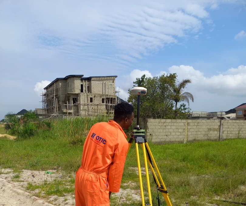
GNSS Quality Control: Should You Collect Survey Points in FLOAT?
Today, I want us to look into something I have been hearing surveyors complain about for some time now — GNSS quality control and the ability, or inability, to pick survey points while the receiver is in FLOAT
Some GNSS receivers allow surveyors to continue picking and storing points even while the receiver is still in FLOAT. A surveyor can be on site waiting for a FIX solution, yet the equipment still gives them the option to continue collecting points.
For some surveyors, this is seen as an advantage. They believe that a GNSS receiver that allows them to keep working in FLOAT gives them more flexibility, and some even see receivers that restrict point collection in FLOAT as less capable.
“At least the equipment is allowing me to work.” BUT is that really the best way to look at it?
So, let me ask you a simple question.
If your GNSS receiver is showing FLOAT, should you be picking your survey points?
If you are carrying out a survey where accuracy matters, especially cadastral surveys, shouldn't your equipment help you maintain quality control instead of simply allowing you to continue?
FIX or FLOAT: Why Does It Matter?
I think that surveyors, whenever they are on site, sometimes forget that in RTK surveying, your GNSS receiver can move through different solution states.
A FIX solution means the receiver has successfully resolved the carrier-phase ambiguities required for high-precision RTK positioning.
FLOAT means the receiver has not yet fully resolved those ambiguities, so the positioning solution has not reached the same level of confidence as a FIX solution.
So, when you see FLOAT on your screen, your receiver is essentially telling you: “I am still working on getting the precise solution.”
So, why rush to pick the point?
If your receiver is still in FLOAT, the question should not be: “Can I save this point?”
The better question is: “Should I save this point?” That is where quality control comes in.
Because having a coordinate is not the same as having a coordinate you can trust for a particular job.
That distinction is important.
Quality Control Should Start in the Field
As surveyors, we spend a lot of time talking about accuracy.
We check our equipment. We check our control. We check our observations. We check our coordinates. So why shouldn't we also pay attention to what our GNSS receiver is telling us before we store a point?
Quality control is not something you should think about only after the survey has been completed. It starts from the moment you begin collecting your points.
Imagine you are carrying out a cadastral survey and your receiver allows you to store points while it is still in FLOAT. You may continue working and only discover later that some of the points were not collected under the solution conditions you expected.
Now you have a problem.
You may need to return to the site, re-observe points, or spend additional time checking and correcting your data.
Wouldn't it be better if your GNSS receiver helped prevent that situation in the first place?
More Freedom Does Not Always Mean Better GNSS
This is where I think we need to change the way we judge GNSS receivers.
Sometimes, surveyors compare equipment and say:
“This GNSS is better because it allows me to pick points even when I'm on FLOAT.”
But think about it.
Is a receiver better because it gives you more freedom to collect data?
Or is it better because it helps you collect the right data under the right conditions?
In Part 2, we will explore this quality-control issue in more depth. Does “more freedom” really mean better equipment? And what quality-control features should you look for when choosing a GNSS receiver?
Interested in our surveying equipment? Or about our flexible payment plans.
📞 Call/WhatsApp Constance: +234 706 176 9934.