

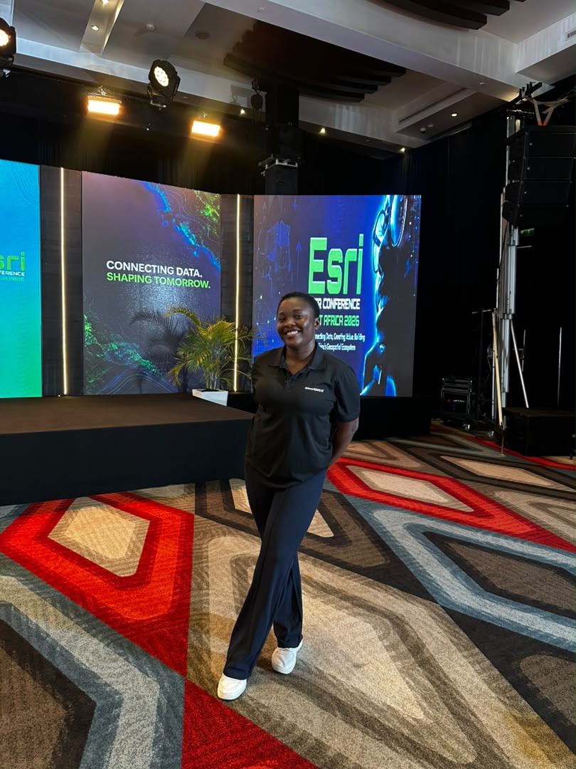
The Esri User Conference West Africa 2026 in Ghana brought together surveyors, GIS professionals, government representatives, academics, technology companies, and industry leaders to discuss how geospatial data can support better decisions across West Africa.
Held on 15 and 16 September 2026 at the Mövenpick Ambassador Hotel in Accra, Sambus Geospatial organized the conference around the theme “Connecting Data, Creating Value: Building West Africa’s Geospatial Ecosystem.” https://sambusgeospatial.com/esri-user-conference-west-africa/
The theme captured much of what happened during the two-day event.
The conference was not simply about learning how to use ArcGIS. It focused on a much bigger question:
How can West African organizations connect their data, technology, and people to solve real problems?
From land administration and telecommunications to water management, petroleum, agriculture, and infrastructure, speakers showed how GIS is increasingly used as a decision-making tool rather than simply a platform for producing maps.
This is important because many organizations already collect large amounts of spatial information.
The problem is that the data is often kept in separate systems.
A government agency may have land information.
A utility company may have infrastructure data.
A telecommunications company may have customer and network information.
A petroleum company may have exploration and infrastructure datasets.
A planning authority may have information about roads and buildings. and development.
When these datasets remain disconnected, their full value is difficult to realise.
That was one of the central issues discussed throughout the conference.
The Conference Opened With a Broader View of Geospatial Technology. One of the major opening keynote speakers was Diane A. Dumashie, president of the International Federation of Surveyors (FIG).
Her presentation placed geospatial technology within a much broader context.
Rather than viewing GIS simply as software, the discussion focused on how geospatial information helps society understand places, manage resources, and make decisions.
GIS Is Moving Beyond Traditional Mapping. One of the strongest messages from the conference was that GIS has evolved considerably.
For many people, GIS still means creating maps.
But the presentations in Accra showed a much wider application.
GIS is now being used for:
telecommunications;
water infrastructure;
petroleum;
agriculture;
land administration;
urban planning;
infrastructure management;
customer analysis;
environmental monitoring;
disaster management;
and government decision-making.
Sambus Managing Director Akua Aboabea Aboah described geospatial data as an important resource for planning, resource allocation, and service delivery. She also emphasized the need for greater collaboration across countries because solutions developed in one country could potentially benefit others in the region.
This is an important shift.
The question is no longer simply:
“Where is it?”
GIS is increasingly helping organizations answer:
“What is happening there, why is it happening, and what should we do about it?”
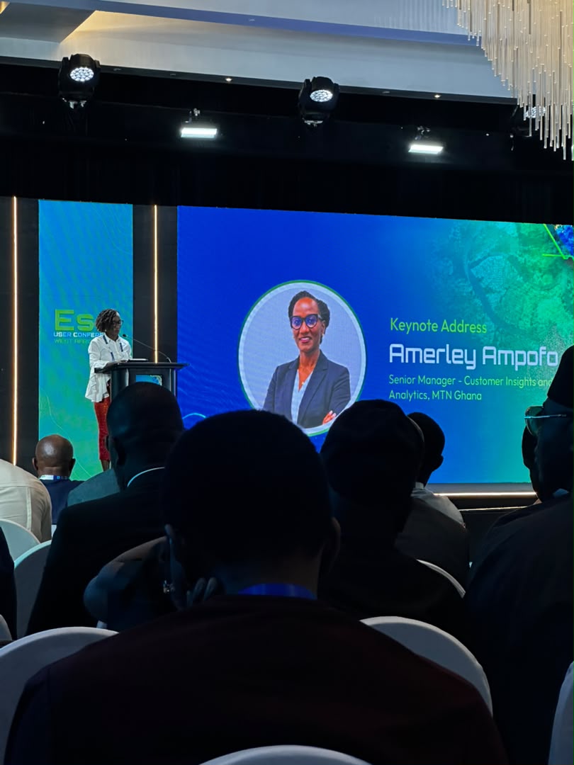
How MTN Ghana Is Using GIS: Telecommunications was one of the industries represented at the conference.
MTN Ghana shared how its use of GIS has developed over time.
The company initially used GIS largely for network planning, including decisions about where network sites should be located and identifying areas with coverage problems.
The application has expanded into customer insights and analytics.
This demonstrates the idea of location intelligence.
A telecommunications company does not only need to know where its network infrastructure is.
It also needs to understand:
where customers are located;
how customers are distributed;
where demand is growing;
where services are underperforming;
and what geographic patterns exist within its market.
GIS can provide the spatial framework for analyzing these questions.
Ghana Water Limited Demonstrated Practical GIS Applications.
Surv. Ing. Michael Nyoagbe shared how geospatial technology and drones are being applied within the water sector.
One conference participant specifically highlighted the use of drones to capture meter readings.
This is a good example of how different technologies are beginning to work together.
A drone can provide aerial data.
GIS can organize and analyze that information.
Field teams can then use the resulting information to make operational decisions.
For utility companies, the potential applications are significant.
GIS can help organizations understand:
where pipelines are located;
where assets need maintenance;
where problems are occurring;
which customers are affected;
and how infrastructure is distributed across an area.
The value comes from connecting the location of the infrastructure with the operational information associated with it.
GIS and Ghana's Petroleum Industry: The petroleum sector also featured prominently.
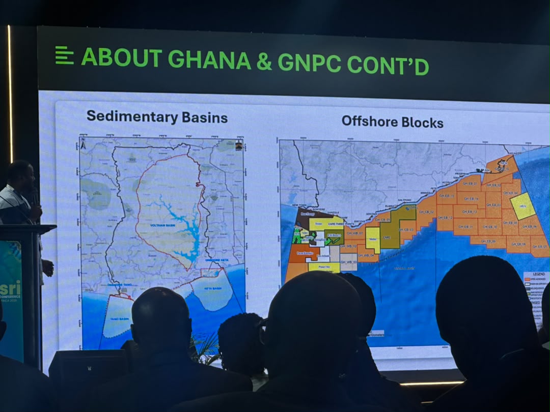
The Ghana National Petroleum Corporation (GNPC) shared its experience using geospatial technology within the petroleum industry.
Ghana Broadcasting Corporation's application of geospatial technology had received international recognition after the organization received the 2026 Esri Special Achievement in GIS Award for its work involving stranded and marginal petroleum resources.
This demonstrates another important point.
Petroleum operations are inherently spatial.
Exploration areas, wells, infrastructure, licenses, environmental constraints, and other assets all exist in specific locations.
GIS provides a way to bring these different datasets together and analyse their relationships.
Land Administration Was Another Major Theme. Land administration is one area where GIS can have a direct impact on governments, surveyors, property owners, and developers.
The conference featured discussions and demonstrations around digital land administration and enterprise GIS workflows.
The potential applications include:
cadastral mapping, parcel management, land records, planning, valuation, taxation, development control, and property information management.
For countries dealing with large volumes of paper-based or disconnected land records, moving toward digital spatial systems can make land information easier to manage and analyze.
For surveyors, this also highlights how the profession is expanding beyond field measurement.
The surveyor's data can become part of a much larger digital land information system.
Agriculture and GIS: The Ghana Cocoa Example. Agriculture was another area highlighted by Sambus.
One of the featured speakers was Faruk Kwansah Nyame, Geospatial & GIS Specialist at the Ghana Cocoa Board.
His work involves GIS and mobile field solutions for farm boundary mapping and Ghana's Cocoa Management System.
The application of geospatial technology in this area supports agricultural supply chain transparency, farm mapping, yield analysis, and compliance with requirements such as the European Union Deforestation Regulation (EUDR).
This is a strong example of why geospatial technology matters beyond traditional surveying.
A farm is not simply a piece of land. Its location can be connected to:
farmer information, farm boundaries, crop type, production, environmental information, supply chains, and regulatory requirements.
That creates a much more complete picture of agricultural activity.
GeoAI, LiDAR, and Digital Twins: The conference also looked at some of the technologies shaping the future of GIS.
These included:
GeoAI, LiDAR, 3D mapping, digital twins, reality mapping, and real-time data.
These technologies are particularly relevant to surveyors and geospatial professionals because they are changing how spatial information is collected and analyzed.
Instead of producing only a conventional 2D map, organizations can increasingly work with detailed three-dimensional representations of buildings, roads, infrastructure, and entire environments.
The use of LiDAR and reality capture can provide highly detailed spatial information, while AI can help identify patterns and features within large datasets.
Digital twins take this a step further by creating digital representations of real-world assets or environments that can be updated with new information.
For infrastructure managers, planners, and engineers, this can support better monitoring and decision-making.
The future is not simply about producing better maps.
It is about connecting:
Surveying + GIS + GNSS + Remote Sensing + Drones + LiDAR + AI + Real-Time Data
into workflows that solve actual problems.
For professionals in surveying and geomatics, this creates new opportunities.
The person who can collect accurate spatial data is valuable.
But the professional who can also organize that data, analyze it, visualize it, and help an organization use it for decision-making can create even more value.
The message from Accra was clear:
Geospatial data is no longer only about maps. It is becoming part of how organizations plan, operate, and make decisions.
And for West Africa, the next step is not simply collecting more data.
It is connecting the data we already have and making it useful.