

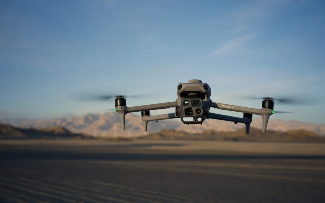
The integration of drones in surveying practice has dramatically transformed how professionals capture geospatial data. Drone surveys, also known as UAV (Unmanned Aerial Vehicle) mapping, involve drones equipped with high-resolution cameras and sensors to collect aerial imagery and data over a specific area. These images are then processed into accurate maps, 3D models, and other geospatial outputs. This innovation is gaining widespread traction across industries, including construction, mining, agriculture, Surveying, oil and gas, environmental monitoring, health, and urban planning. To bridge the knowledge gap and empower geospatial professionals, OTIC Geosystems recently organized a drone mapping training designed to equip participants with practical skills in drone deployment, data acquisition, and map generation.
What Is Drone Surveying?
Drone surveying involves using drones to gather aerial data through photogrammetry, LiDAR, or multispectral imaging. The process typically follows these steps:
1.Flight Planning – Define the area of interest and set flight parameters.
2.Data](http://2.Data) Collection – The drone flies autonomously to capture overlapping images or sensor readings. 3.Processing – Software like Pix4D, Agisoft Metashape, or DJI Terra stitches images into 2D orthomosaics, 3D point clouds, digital elevation models (DEM), or contour maps.
4.Analysis and Application – The final outputs support planning, monitoring, and decision-making.
Benefits of Using Drones for Surveys
Faster Data Collection: Drones cover large areas quickly. Cost-Effective: Less manpower and equipment needed. High Accuracy: With the right tools, drone data can be accurate to just a few centimeters. Safe and Easy: Drones can fly over rough terrain or unsafe zones. Better Visualization: Aerial maps and 3D models make it easier to understand the site.
Why OTIC Geosystems Organised Drone Mapping Training
As drone technology continues to grow, OTIC Geosystems saw the need to train more professionals on the proper application of this awesome technology. Here’s why the training was important:
1.Close the Skills Gap: Many surveyors want to use drones but lack the hands-on knowledge. The training helped bridge that gap.
2.Encourage Modern Techniques: Traditional methods are still useful, but drone mapping offers speed and accuracy that can’t be ignored.
3.Boost Career Opportunities: Knowing how to use drones gives professionals an edge in today’s job market.
4.Improve Project Delivery: Clients now expect faster and more accurate results. Drone data makes that possible. [
5.Build(http://5.Build) a Community: The training allowed participants to network, share ideas, and grow together.
Drone surveys are the future of mapping. They are fast, reliable, and highly effective. And with companies like OTIC Geosystems providing training, more professionals can start using drone technology to take their work to the next level. Stay connected with OTIC Geosystems and be the first to know when the next drone mapping training is announced.