
What if the future of geospatial positioning is not just better GNSS receivers, but smarter networks connecting them? That future is already here—and CORS networks are helping make it possible.
What Is a CORS Network?
CORS means Continuously Operating Reference Station.
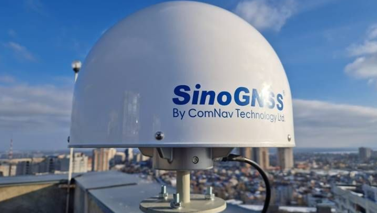
A CORS is a permanently installed GNSS reference station at a precisely known location. It continuously receives satellite signals and provides reference data that can be used to improve positioning accuracy.
When multiple CORS stations are connected, they form a CORS network, allowing many GNSS users to receive correction data across a wider geographic area.
Simply put:
Traditional RTK:
Base Station → Corrections → Rover
CORS Network RTK:
CORS Network → Internet/NTRIP → Rover
Instead of setting up a temporary base station for every project, a rover can connect to an existing CORS network and receive corrections remotely.
How Does CORS Work?
The process is relatively simple:
GNSS Satellites → CORS Stations → Network → NTRIP Caster → Internet → GNSS Rover → RTK Position
The CORS stations continuously observe satellite signals. The network processes this reference information and makes correction data available to users, commonly through NTRIP.
The GNSS rover combines its satellite observations with the correction data to calculate a more accurate position.
This means less field setup, fewer pieces of equipment to manage, and easier access to network-based RTK corrections.
What Is Network RTK and VRS?
Network RTK uses several reference stations to model and deliver corrections over a wider area rather than relying on a single base station.
One common approach is VRS — Virtual Reference Station.
Instead of the rover working directly from one physical reference station, the network uses information from several stations to generate correction data appropriate to the rover’s location.
The result is a more flexible correction service for users working across large areas.
Why Does CORS Matter?
A well-designed CORS network can help professionals:
Reduce the need to establish temporary base stations
Start RTK surveys faster
Support multiple rovers and field teams
Extend correction services across larger geographic areas
Improve consistency in GNSS-based workflows
Reduce equipment and field setup requirements
Its value extends beyond traditional land surveying.
CORS supports cadastral surveying, construction, infrastructure development, GIS and mapping, agriculture, transportation, land administration, asset management and other applications requiring reliable positioning.
OTIC GEOSYSTEMS: CORS in Practice
At OTIC GEOSYSTEMS, CORS is not treated simply as another GNSS service. It is part of a broader geospatial infrastructural development initiative.
OTIC GEOSYSTEMS currently operates a growing network of 35 CORS stations, providing network RTK correction services across major regions, while continuing to expand coverage.
The objective is straightforward: make high-precision GNSS correction services more accessible to professionals who need dependable positioning in the field.
A surveyor equipped with a compatible GNSS rover can connect to the network through NTRIP rather than establishing a separate local base station.
And because CORS is only one part of a successful GNSS workflow, OTIC GEOSYSTEMS complements the infrastructure with GNSS equipment, technical support, training, calibration and other geospatial solutions.
CORS Is More Than a Surveying Tool
The bigger idea behind CORS is infrastructure.
As geospatial workflows become increasingly connected, positioning infrastructure becomes just as important as the equipment used to collect the data.
A GNSS receiver determines where you are.
A reliable CORS network helps determine how accurately and consistently you can know where you are.
That is why CORS networks are becoming an important foundation for modern surveying, mapping, engineering, infrastructure and location-based applications.
The Future of High-Precision Positioning
The future of GNSS is not simply about better receivers. It is about creating connected positioning ecosystems where reference infrastructure, correction services, equipment, software and skilled professionals work together.
CORS is a major part of that ecosystem.
And as networks expand, high-precision positioning becomes less about setting up a base station for every project—and more about having reliable positioning infrastructure already working in the background.
EMMANUELLA IGWE
BUSINESS DEVELOPMENT EXECUTIVE
+971568597708