
Ask ten surveyors in Nigeria what equipment they need, and you'll likely get ten different answers, and all of them could be right. A cadastral surveyor retracing a family land boundary in a crowded Lagos infill plot has entirely different equipment demands from an engineering surveyor setting out a flyover in Abuja, or a hydrographic surveyor charting a dredging channel along the Niger Delta. The discipline dictates the tool. Get that match wrong, and no amount of skill in the field will save the project.
Let’s discuss a practical breakdown of the core geospatial equipment required across three major survey disciplines: cadastral, engineering, and hydrographic, and why each tool earns its place on site.
1. Cadastral Survey: Where Boundaries Meet the Law
Cadastral surveying is arguably the most legally sensitive branch of the profession. A single wrong coordinate doesn't just cost time; it can trigger a boundary dispute that outlives the surveyor's career. Anyone who has sat through a land litigation case in a Nigerian court, watching two survey plans of the same plot disagree by half a metre, understands exactly why precision here isn't negotiable.
Core equipment:
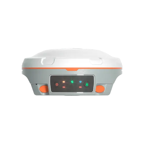
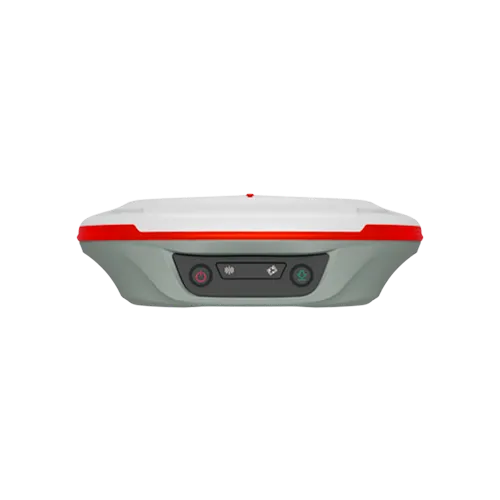
GNSS RTK receivers (base and rover): the backbone of modern cadastral work. They allow surveyors to fix property corners and boundary pillars to national coordinate systems with centimetre-level accuracy, which matters enormously when a title document is scrutinized years later in a dispute.
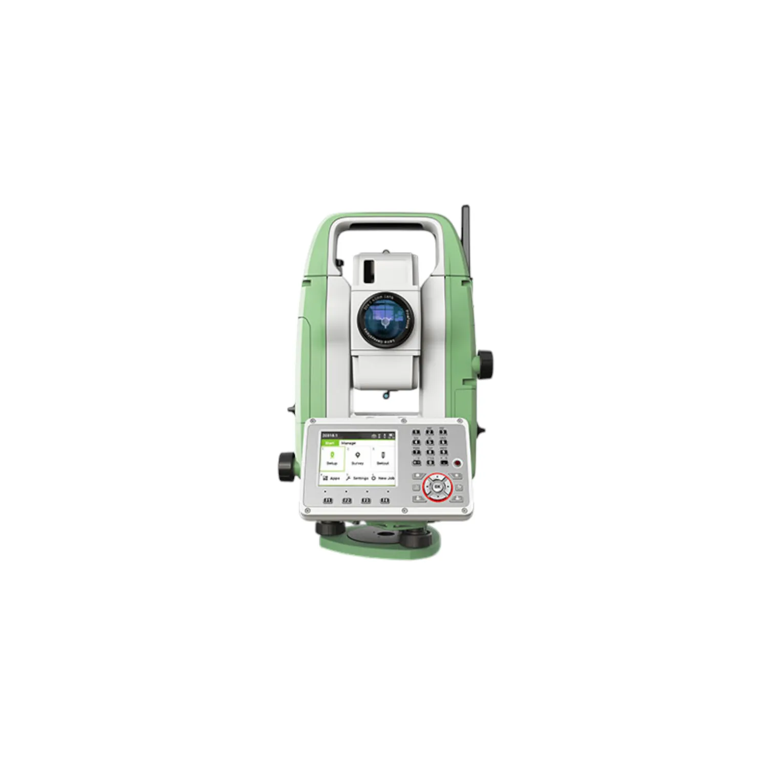
Total stations: indispensable in dense urban plots, built-up areas, or under tree canopy where GNSS signal is compromised. A total station lets the surveyor retrace and re-establish boundary pillars with traversing and angle-distance precision even where satellites can't reach.
Robust data collectors with cadastral/GIS software: for capturing, storing, and processing boundary coordinates in formats compatible with land registries and survey authorities.
Prism poles, tribrachs, and reflectorless targets: the unglamorous but essential accessories that determine whether a beacon gets fixed accurately or approximately.
In cadastral work, the cost of a cheap or poorly calibrated instrument isn't measured in hours lost; it's measured in demolished buildings, contested inheritances, and encroachment suits that drag through Nigerian courts for years.
2. Engineering Survey: Precision Under Pressure
Engineering surveys sit at the heart of every road, bridge, building, and utility corridor built across the country. This is fieldwork done under deadlines, often on live construction sites where earthworks are moving daily and a delay in setting out a line can stall an entire crew.
Core equipment:
Robotic total stations: the workhorse of setout and machine-guided construction. A single surveyor can stake out structural points, monitor alignment, and verify as-built positions without needing a second person to hold the prism, which significantly speeds up fieldwork on tight schedules.
GNSS RTK receivers: used for establishing site control, large-area topographic mapping, and rapid stakeout across open sites like highway corridors or industrial layouts where line-of-sight for a total station isn't practical.
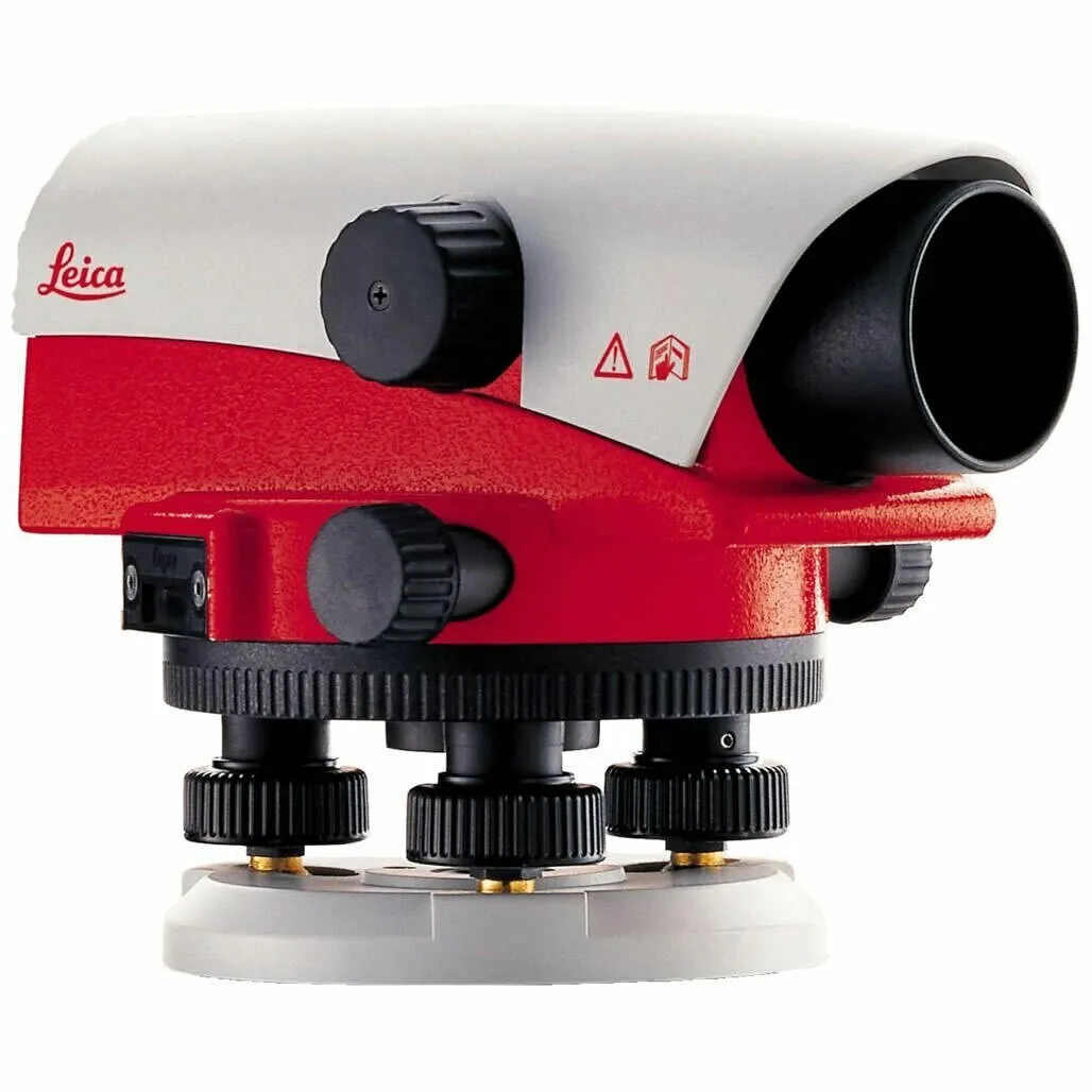
Digital and automatic levels: still the gold standard for precise elevation control: benchmark transfers, foundation levels, road gradient checks, and earthworks volume verification. No construction engineer breaks ground confidently without a verified level run.
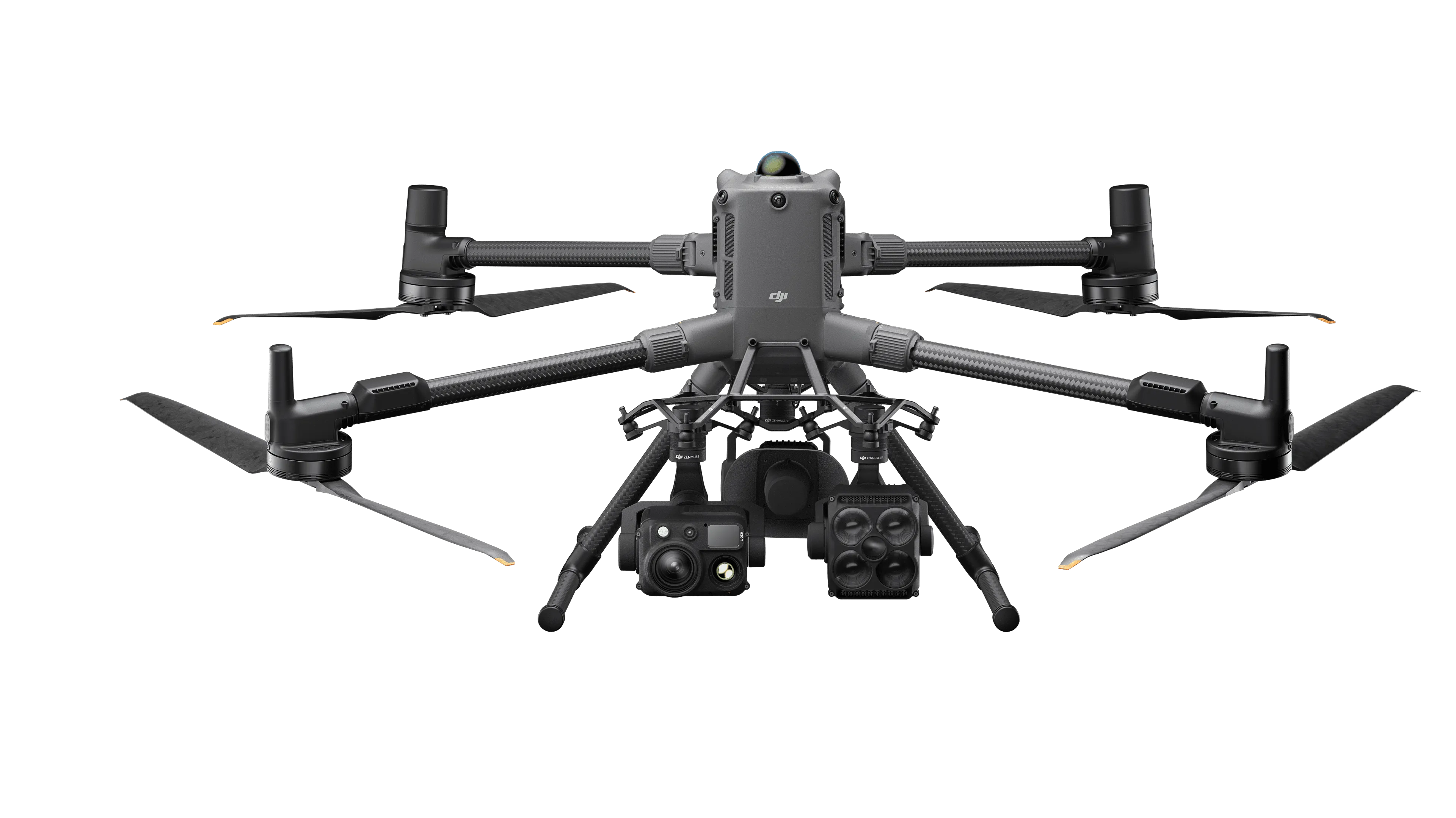
UAV/drone systems with photogrammetry capability: increasingly common for rapid topographic mapping, stockpile volume calculation, and progress monitoring across large sites, cutting weeks of conventional fieldwork down to hours.
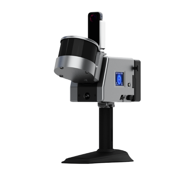
Laser scanners: used on more complex structural or as-built documentation projects where millimetre-level 3D capture is required, particularly on retrofits and heritage or industrial structures.
On a construction site, the margin for error tightens with every floor poured. Equipment reliability isn't a preference here; it's what keeps a structure standing exactly where it was designed to stand.
3. Hydrographic Survey: Working Where the Ground Isn't Solid
Hydrographic surveying carries its own set of demands, shaped by Nigeria's extensive coastline, inland waterways, and the Niger Delta's dense network of creeks and channels. This is survey work conducted from a moving platform, over a surface that shifts with the tide, where the "ground" being measured is invisible beneath the water.
Core equipment:
Single-beam and multi-beam echo sounders: used to measure water depth and map the seabed or riverbed. Multi-beam systems, in particular, produce full-coverage bathymetric data essential for dredging projects, port development, and channel maintenance along shipping lanes.
GNSS RTK receivers (marine-grade): provide the horizontal positioning that ties every depth reading to an exact location, and increasingly deliver real-time vertical positioning to reduce dependency on separate tide correction.
Side-scan sonar: used to detect and image objects on the seabed or riverbed, from wrecks and pipelines to submerged hazards that a straightforward depth reading would miss entirely.
Tide gauges: essential for correcting depth soundings to a consistent vertical datum, particularly critical in tidal environments like the Niger Delta and Lagos Lagoon system.
Acoustic Doppler Current Profilers (ADCP): measure water current speed and direction, vital for dredging planning, port design, and environmental impact assessments.
Survey vessels and motion sensors (IMU/attitude sensors): compensate for the pitch, roll, and heave of a moving boat, without which bathymetric data collected in anything but flat calm water would be unreliable.
For oil and gas operators, port authorities, and dredging contractors working Nigeria's waterways, this equipment isn't a convenience; it's what determines whether a channel is safely navigable or a pipeline route is correctly charted before construction begins.
The Common Thread: Equipment Is Only as Good as Who Stands Behind It
Across all three disciplines, one truth holds steady: the most advanced instrument is only as reliable as the calibration behind it, the training of the hands operating it, and the support available when something in the field doesn't add up.
This is where OTIC Geosystems Ltd has established itself as the number one trusted source for geospatial equipment sales and support in Nigeria and across the wider region, serving individual surveyors, engineering firms, hydrographic contractors, and corporate organizations alike. From GNSS receivers and robotic total stations to echo sounders and drone survey systems, OTIC Geosystems supplies equipment matched to the discipline it will actually be used in, backed by technical training, field demonstrations, and ongoing support long after the purchase is made.
Whether it's a cadastral surveyor fixing a boundary pillar that will outlive a court case, an engineering surveyor setting out a foundation line that a building will stand on for decades, or a hydrographic team charting a channel that vessels will depend on for years, the right equipment, sourced from the right partner, is what separates a job done well from a job that has to be done twice.